MyTopo
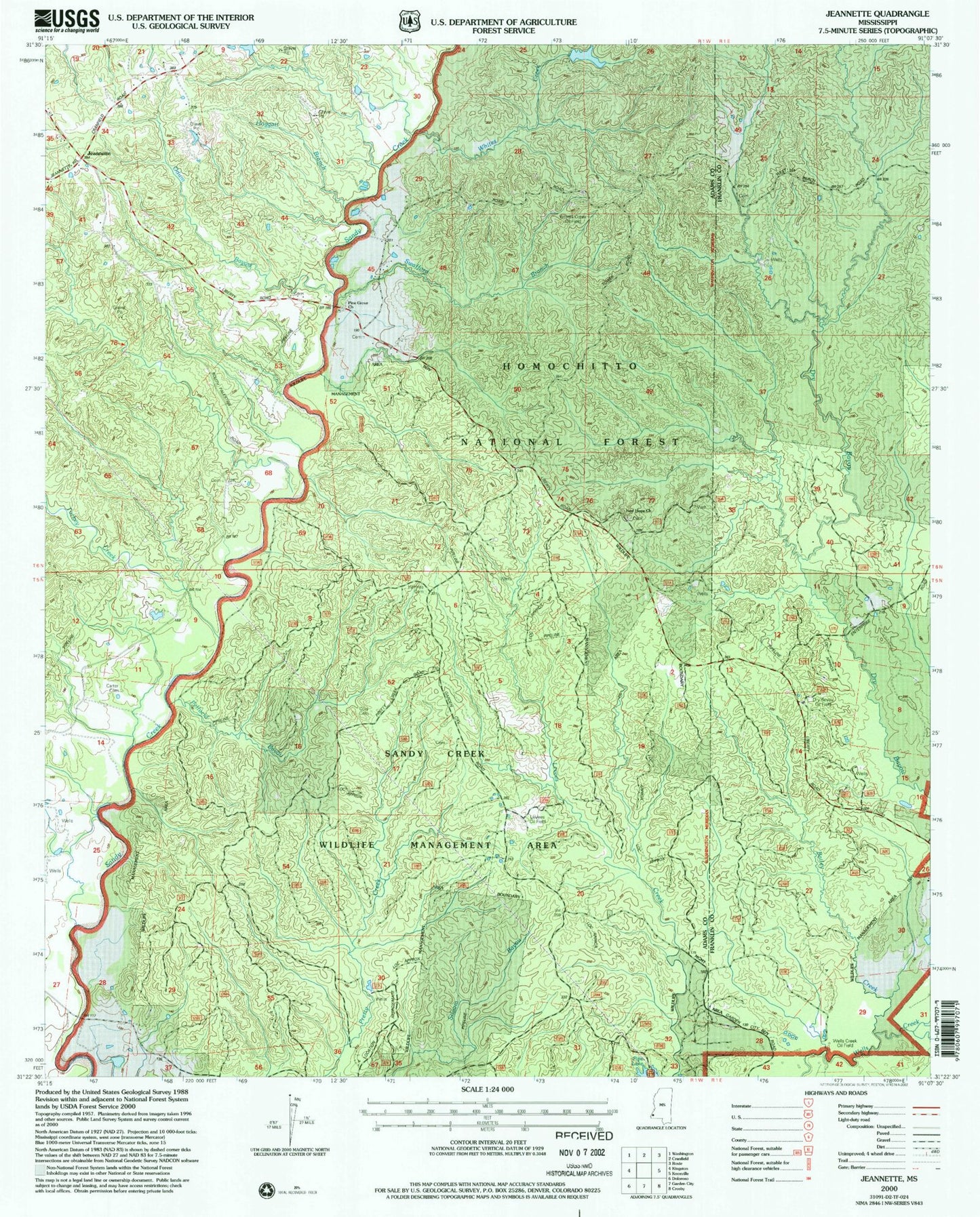
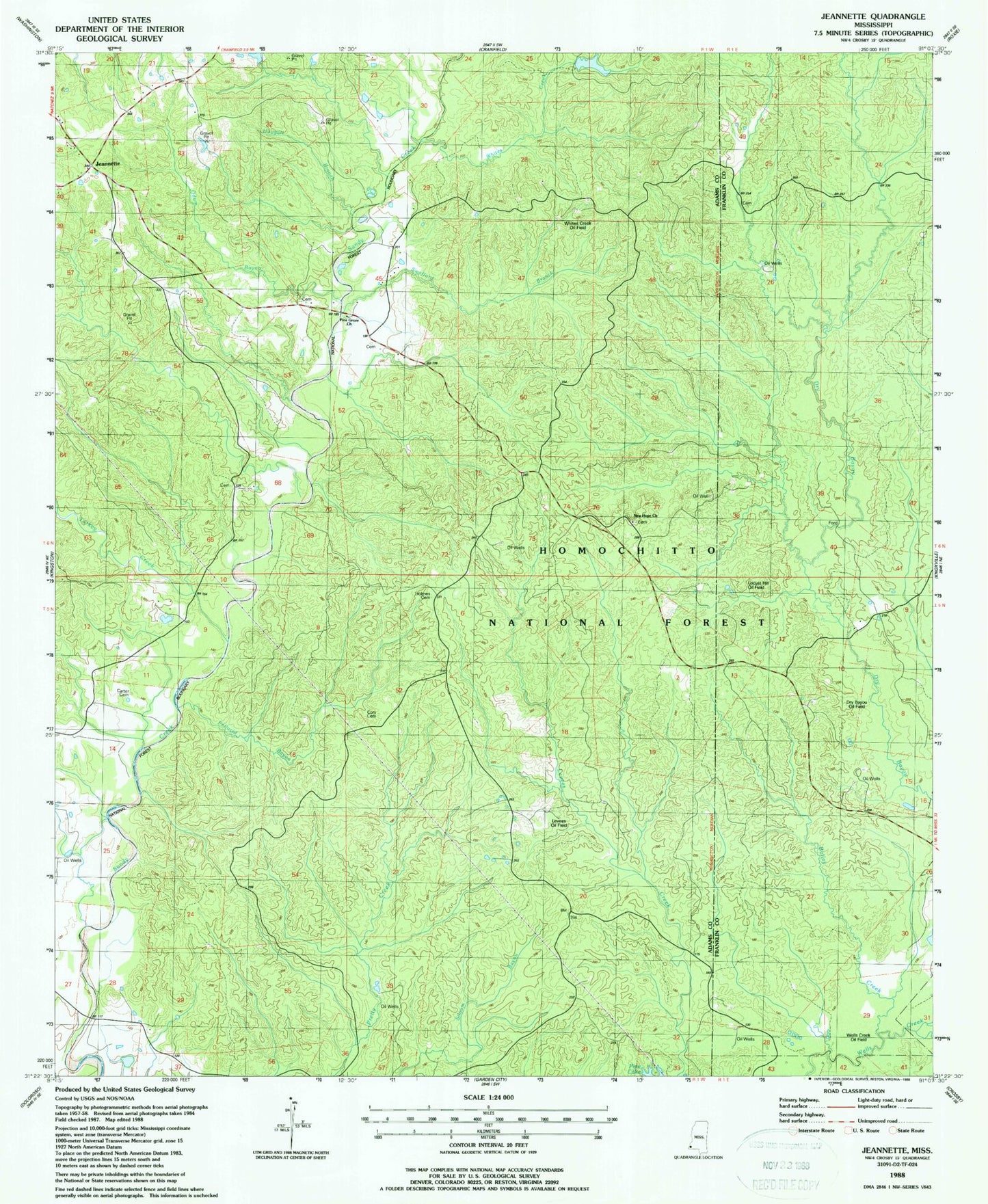
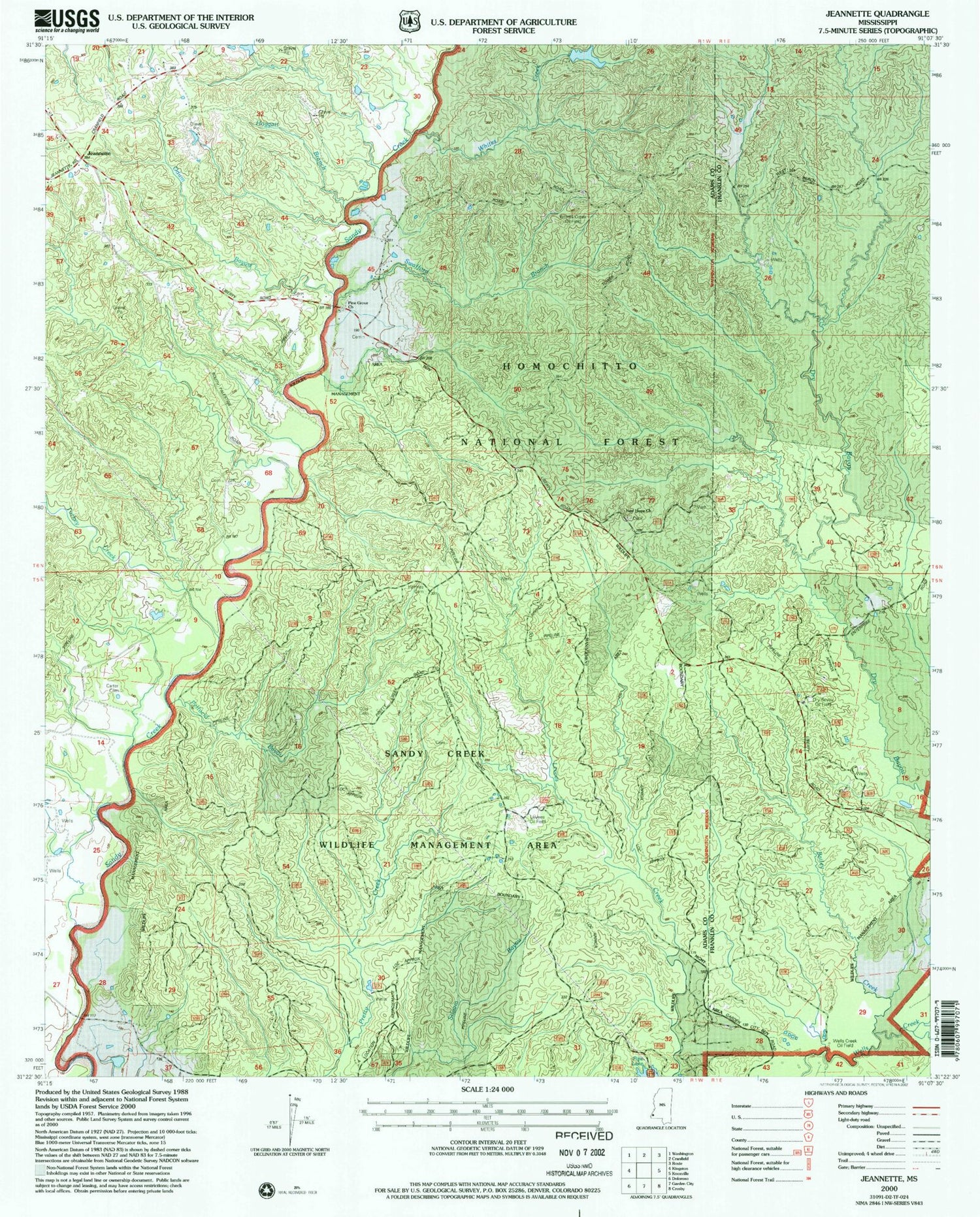
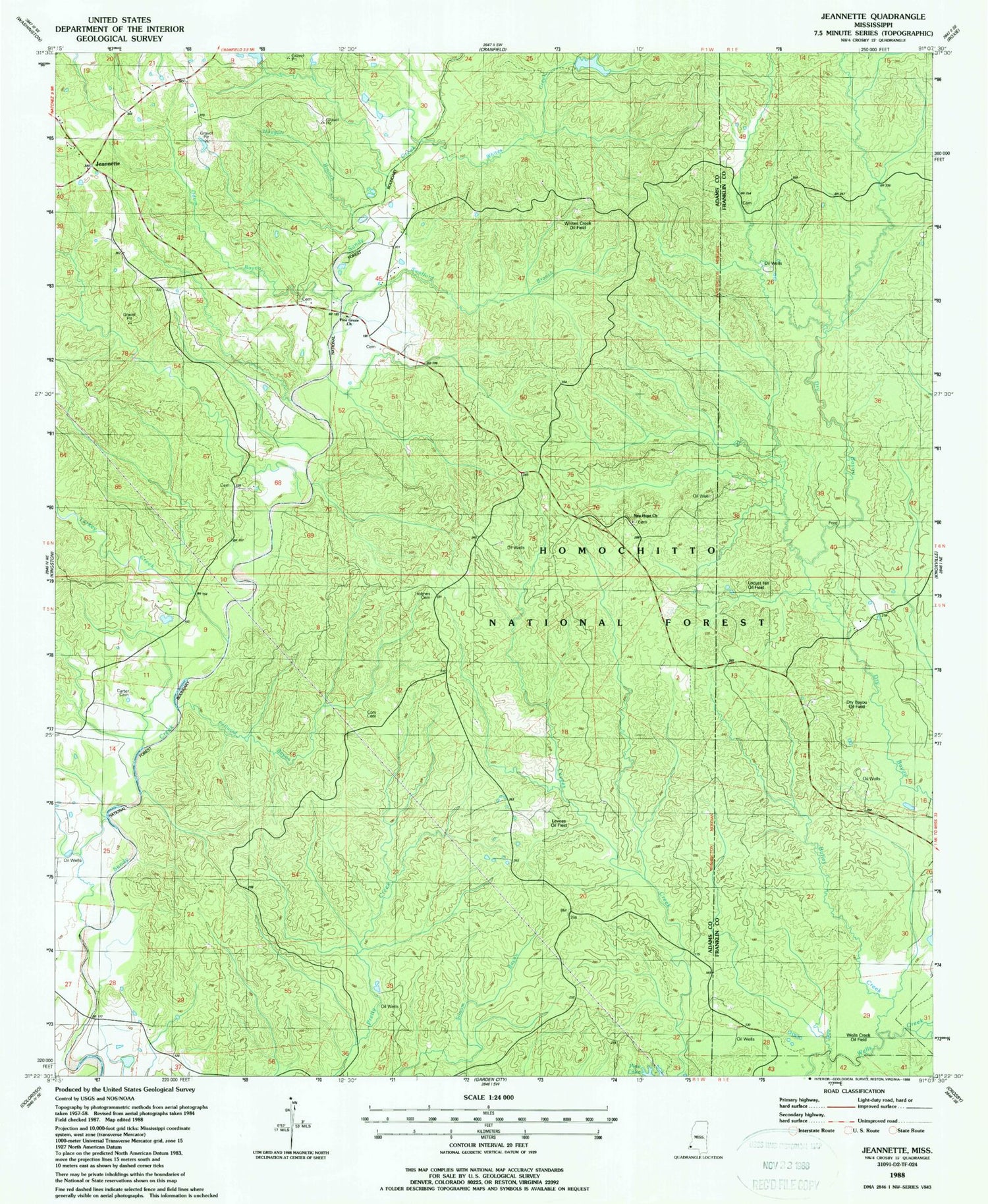
Classic USGS Jeannette Mississippi 7.5'x7.5' Topo Map
Couldn't load pickup availability
Historical USGS topographic quad map of Jeannette in the state of Mississippi. Map scale may vary for some years, but is generally around 1:24,000. Print size is approximately 24" x 27"
This quadrangle is in the following counties: Adams, Franklin.
The map contains contour lines, roads, rivers, towns, and lakes. Printed on high-quality waterproof paper with UV fade-resistant inks, and shipped rolled.
Contains the following named places: Bailey Creek, Beach Family Cemetery, Carter Cemetery, Cooper Hill Oil Field, Cory Cemetery, Courtland Oil Field, Dry Bayou Oil Field, Hoggatt Branch, Holmes Cemetery, Jeannette, Leesdale Lookout Tower, Leesdale Tower Oil Field, Levees Oil Field, Locust Hill Oil Field, Moorland Oil Field, Mount Plain Church, Natchez Coravel Pits, New Hope Church, North Pelucid Bayou Oil Field, Odum Bayou, Pellucid Bayou, Pellucid Bayou Oil Field, Pine Grove Church, Pipes Lake Dam, Pipes Lake Recreation Area, Pretty Creek Oil Field, Sandy Creek State Creek Wildlife Management Area, South Jeannette Oil Field, Supervisor District 3, Swafford Branch, Turkey Creek, Webb Carter Junior Lake Dam, Wells Creek Oil Field, West Deerfield Oil Field, West Locust Hill Oil Field, Whites Creek, Whites Creek Oil Field


