MyTopo
Classic USGS Jeans Fork SE Montana 7.5'x7.5' Topo Map
Regular price
$16.95
Regular price
Sale price
$16.95
Unit price
per
Couldn't load pickup availability
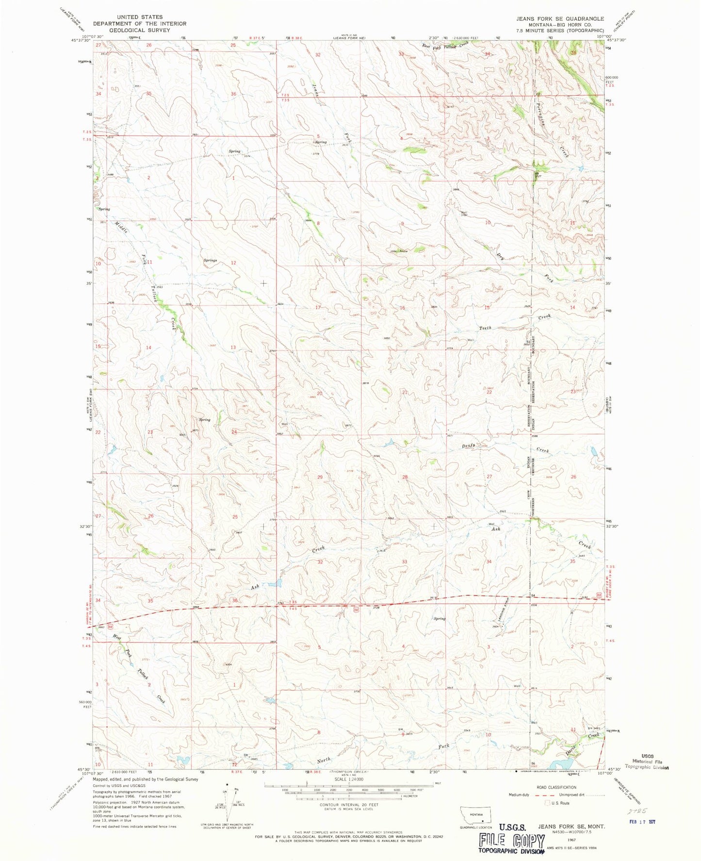
Historical USGS topographic quad map of Jeans Fork SE in the state of Montana. Map scale may vary for some years, but is generally around 1:24,000. Print size is approximately 24" x 27"
This quadrangle is in the following counties: Big Horn.
The map contains contour lines, roads, rivers, towns, and lakes. Printed on high-quality waterproof paper with UV fade-resistant inks, and shipped rolled.
Contains the following named places: 03S38E14DDAC01 Well, 03S38E35DAAC01 Well, Crow Number 2 Dam, Crow Number 3 Dam, North Fork Davis Creek, Parkers Pond Dam