MyTopo
Classic USGS Jeddo Michigan 7.5'x7.5' Topo Map
Couldn't load pickup availability
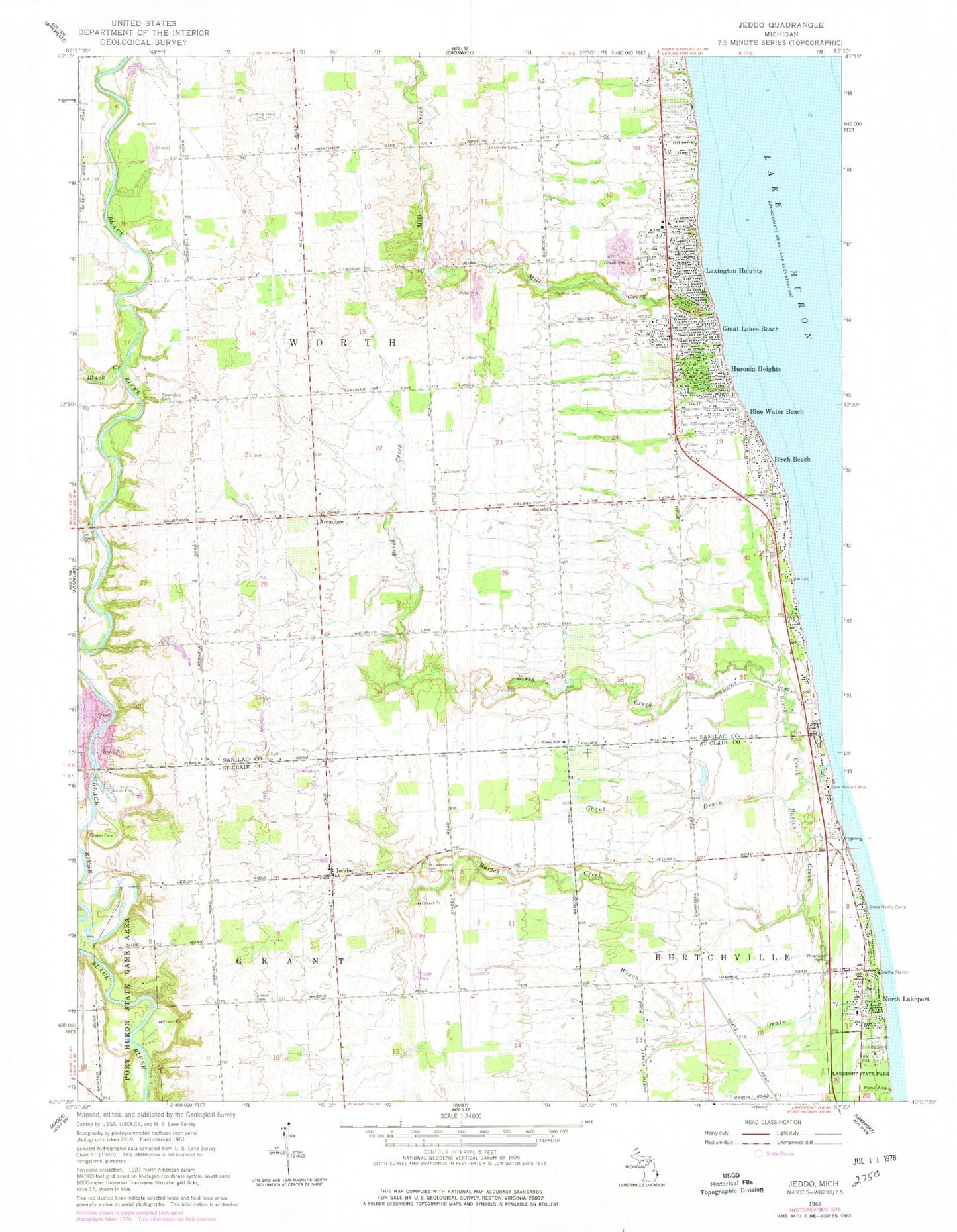
Historical USGS topographic quad map of Jeddo in the state of Michigan. Map scale may vary for some years, but is generally around 1:24,000. Print size is approximately 24" x 27"
This quadrangle is in the following counties: Sanilac, St. Clair.
The map contains contour lines, roads, rivers, towns, and lakes. Printed on high-quality waterproof paper with UV fade-resistant inks, and shipped rolled.
Contains the following named places: Amadore, Amadore Post Office, Amadore Station, Baker Cemetery, Bardwell Cemetery, Bethel Church, Birch Beach, Birch Beach Post Office, Birch Creek, Black Creek, Blue Water Beach, Burtch Creek, Carmen Cemetery, Castor Cemetery, Church of Jesus Christ of Latter Day Saints, Cook School, Darrell's Landing, Diamond Cemetery, Gospel Light Baptist Church, Grant Drain, Grant Township Fire and Rescue Department, Great Lakes Beach, Huronia Heights, Jeddo, Jeddo Post Office, Jeddo Station, Lake Huron Camp, Lakeview Cemetery, Lexington Heights, Living Word Missionary Church, Locke Cemetery, Matthews Farm Historical Marker, Mill Creek, Reorganized Church of Jesus Christ of Latter Day Saints, Saint Lawrence Cemetery, Strevel Cemetery, Township of Worth, Whispering Pines Animal Kingdom, Wixon Drain, Worth Township Cemetery, WYDG-FM (Lexington), ZIP Code: 48032


