
MyTopo
Classic USGS Jefferson Island Montana 7.5'x7.5' Topo Map
Couldn't load pickup availability
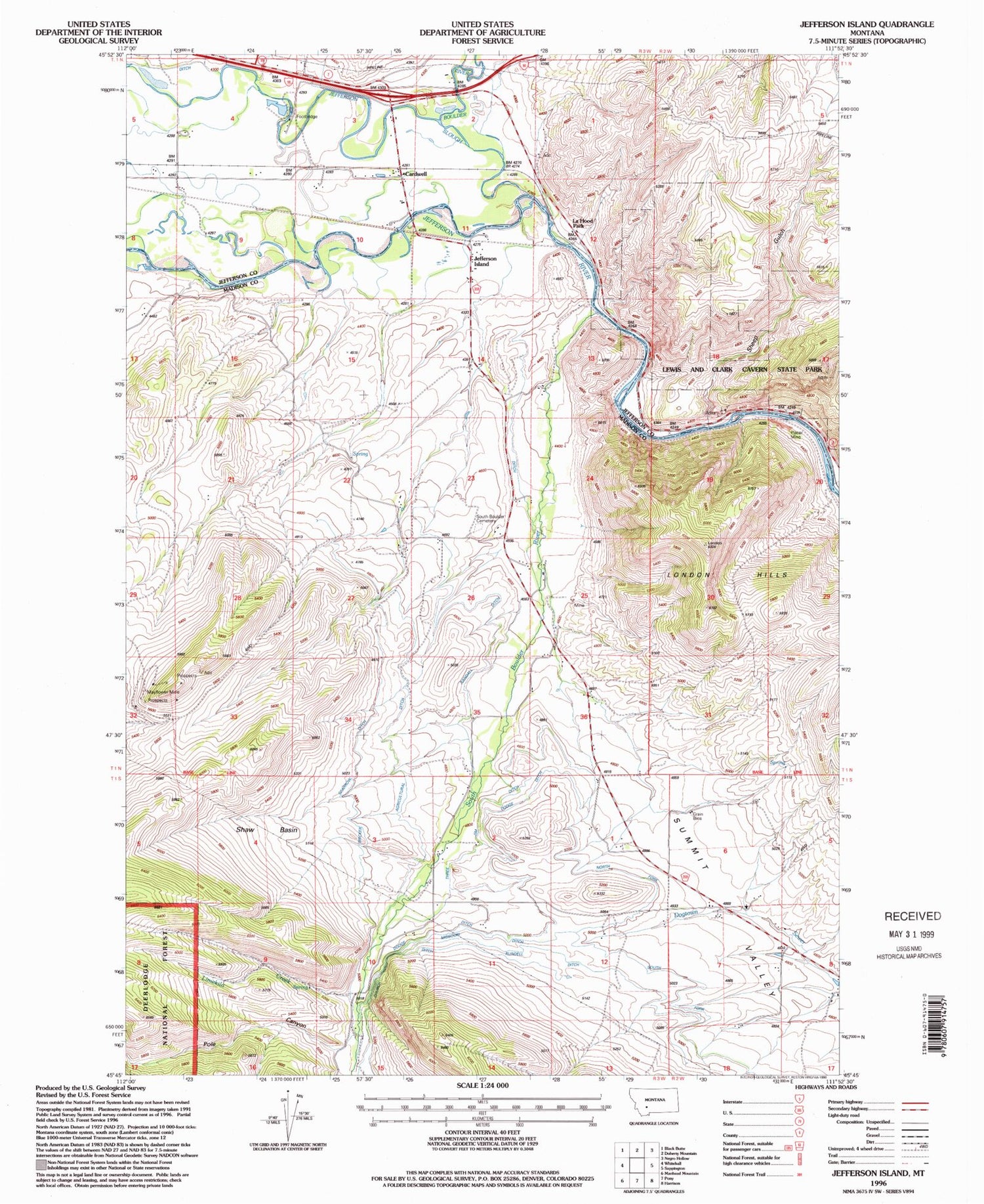
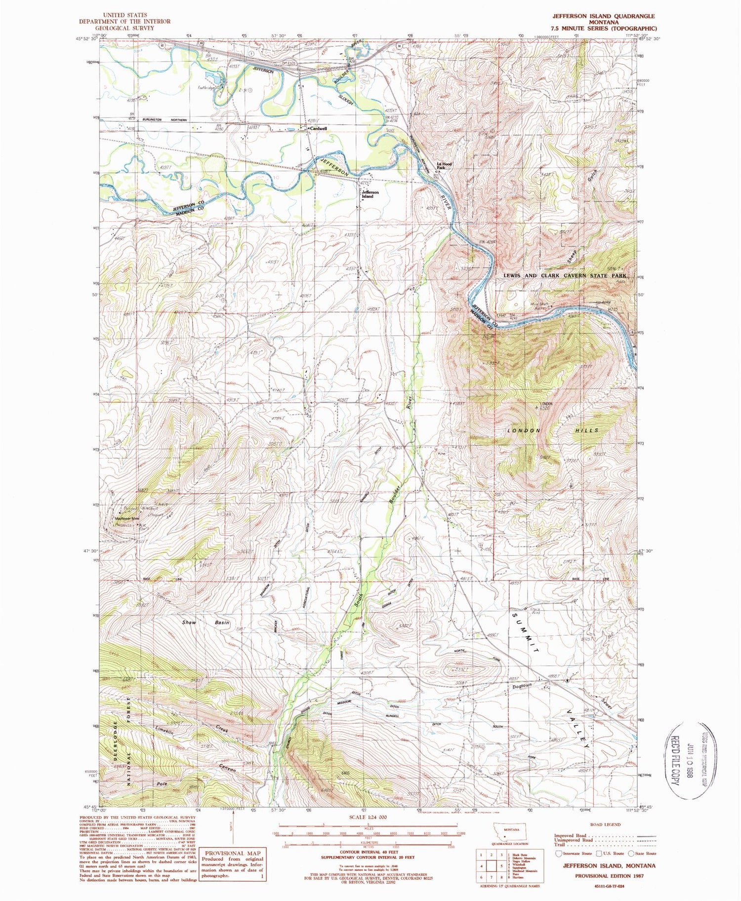
Historical USGS topographic quad map of Jefferson Island in the state of Montana. Map scale may vary for some years, but is generally around 1:24,000. Print size is approximately 24" x 27"
This quadrangle is in the following counties: Jefferson, Madison.
The map contains contour lines, roads, rivers, towns, and lakes. Printed on high-quality waterproof paper with UV fade-resistant inks, and shipped rolled.
Contains the following named places: 01S02E17AAB_01 Well, 02N03W33DCD_01 Well, 02N03W34CCD_01 Well, Agricultural Ditch, Bardsen, Boulder River, Bricker Sparrow Ditch, Cardwell, Cardwell Bridge Fishing Access Site, Cardwell Census Designated Place, Cardwell Post Office, Cardwell School, Cave Mountain, Cavern, Church Ditch, Dodge Ditch, Eau Clair, Father De Smet Historical Marker, Highway 10 Quarry, Jefferson Island, Jefferson Island Post Office, Jefferson Slough, La Hood Park, La Hood Park Campground, La Hood Park Mine, Lewis & Clark Caverns State Park, Lewis and Clark Expedition Campsite Historical Marker, Lime Spur, Lime Spur Post Office, Limekiln Creek, Limespur Fishing Access Site, London Peak, Mayflower Extension Mine, Missouri Ditch, NE SW Section 25 Mine, North Fork Missouri Ditch, NW NW Section 20 Mine, Oliverson Mine, Pole Canyon, Primus Post Office, Quarry Mine, Randall Ditch, Rundell Ditch, Shaw Basin, Sheep Gulch, South Boulder Airport, South Boulder Cemetery, South Boulder River, Summit Valley, Three Jim Ditch


