MyTopo
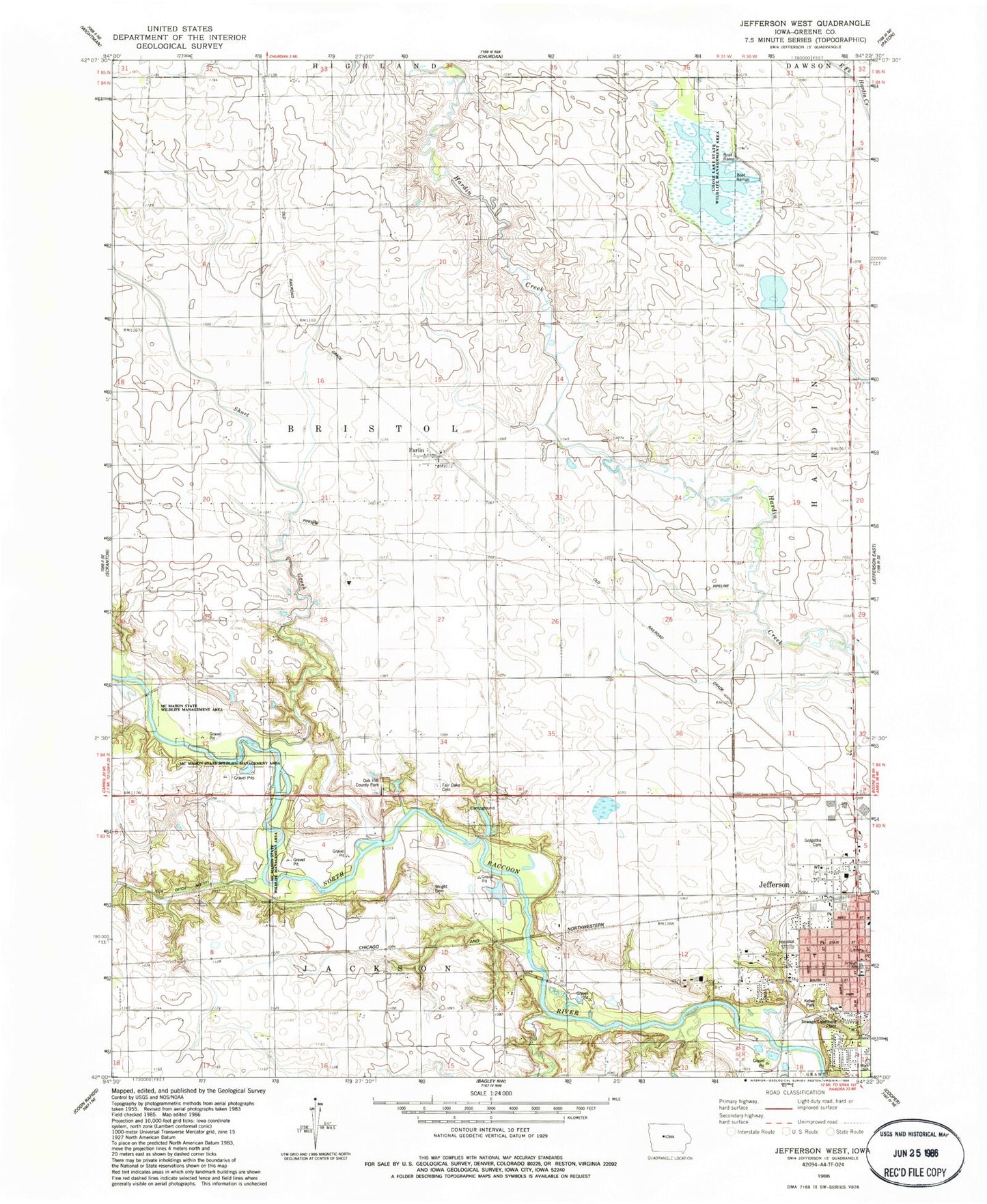
Classic USGS Jefferson West Iowa 7.5'x7.5' Topo Map
Couldn't load pickup availability
Historical USGS topographic quad map of Jefferson West in the state of Iowa. Map scale may vary for some years, but is generally around 1:24,000. Print size is approximately 24" x 27"
This quadrangle is in the following counties: Greene.
The map contains contour lines, roads, rivers, towns, and lakes. Printed on high-quality waterproof paper with UV fade-resistant inks, and shipped rolled.
Contains the following named places: Abundant Life Ministries, Central Christian Church, Chautauqua Park, Christ Lutheran Church, Church of Christ, City of Jefferson, Coon Siding, Daubendiek Park, Eureka Bridge, Fair Oaks Cemetery, Farlin, Farlin Post Office, Finn Pond Wildlife Area, First Brick Building in Jefferson Historical Marker, Golgotha Cemetery, Goose Lake, Goose Lake State Wildlife Management Area, Greene County, Greene County Community Center, Greene County Emergency Medical Services Incorporated, Greene County High School, Greene County Home, Greene County Medical Center, Greene County Medical Center Heliport, Greene County Middle School, Head Park, Headly Cemetery, Jefferson, Jefferson Healthcare Center, Jefferson Post Office, Jefferson Public Library, Jefferson Telephone Company Museum, Jefferson Wastewater Plant, Kelso Park, Kingdom Hall of Jehovah's Witnesses, Little League Field, Mahanay Bell Tower, McFarland Clinic, McMahon State Wildlife Management Area, North School, Oak Hill County Park, Open Bible Church, Presbyterian Church, Short Creek, South Grade School, The Church of Jesus Christ of Latter Day Saints, Township of Bristol, Trinity Lutheran Church, Washington Park, Wright Cemetery, ZIP Code: 50129