MyTopo
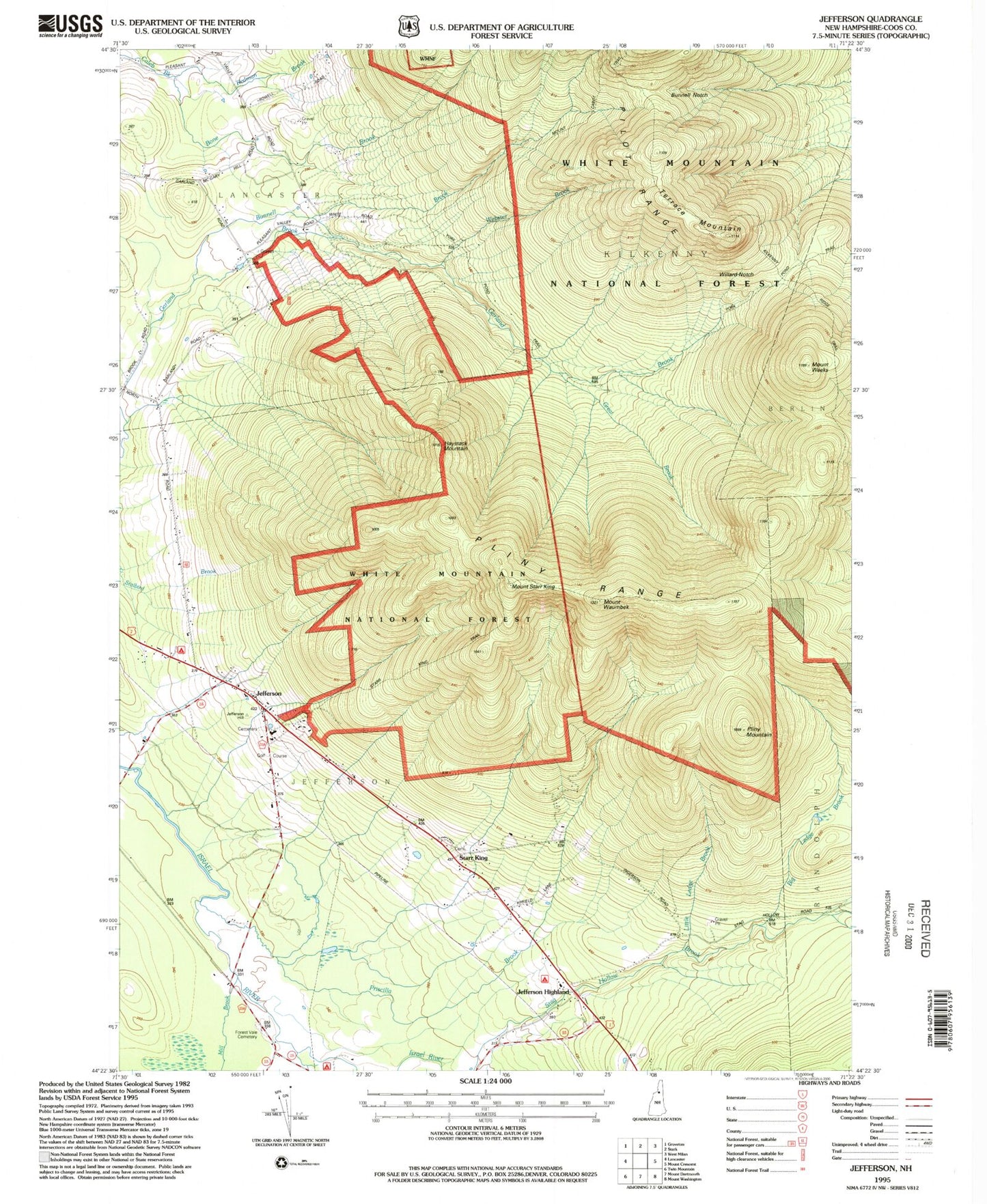
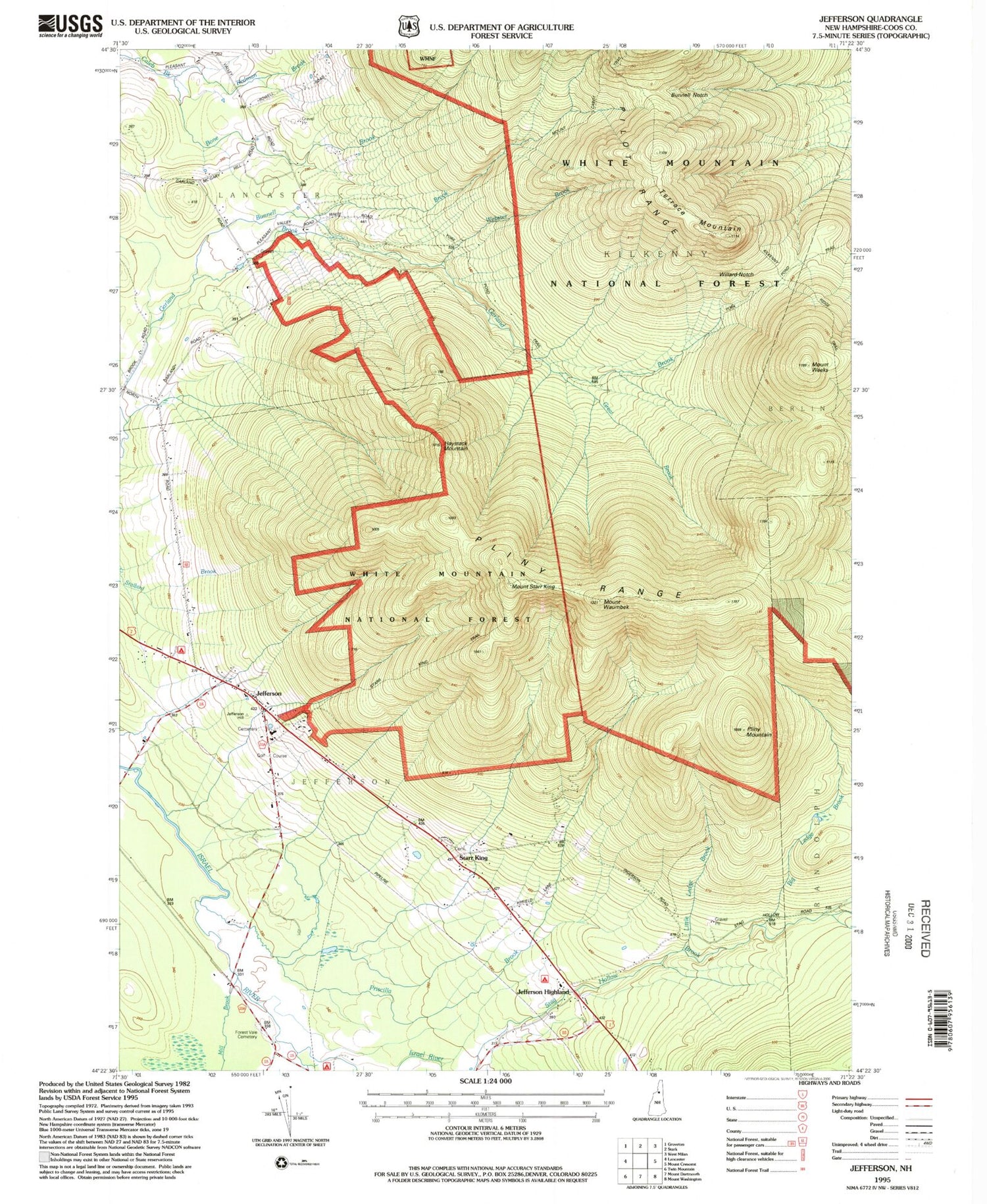
Classic USGS Jefferson New Hampshire 7.5'x7.5' Topo Map
Couldn't load pickup availability
Historical USGS topographic quad map of Jefferson in the state of New Hampshire. Typical map scale is 1:24,000, but may vary for certain years, if available. Print size: 24" x 27"
This quadrangle is in the following counties: Coos.
The map contains contour lines, roads, rivers, towns, and lakes. Printed on high-quality waterproof paper with UV fade-resistant inks, and shipped rolled.
Contains the following named places: Bone Brook, Bunnell Brook, Bunnell Notch, Gore School, Great Brook, Jefferson, Jefferson Highland, Mill Brook, Mount Cabot School, Mount Cabot Trail, Pliny Mountain, Pliny Range, Priscilla Brook, Red Brook, Redman Brook, Starr King, Mount Starr King, Terrace Mountain, Mount Waumbek, Mount Weeks, Willard Notch, York Pond Trail, Town of Jefferson, Township of Kilkenny, Jefferson Post Office, Holy Trinity Church, Jefferson Elementary School, Jefferson Historical Museum, Jefferson Presbyterian Church, Saint Johns Church, Waumbek Golf Course, Haystack Mountain, Mount Joseph Whipple, North American Family Institute Davenport School, Jefferson Fire Department, Jefferson Emergency Medical Services, Hillside Cemetery, Forest Vale Cemetery, Starr King Cemetery, Big Ledge Brook, Little Ledge Brook, Webster Brook


