MyTopo
Classic USGS Jefferson North Carolina 7.5'x7.5' Topo Map
Couldn't load pickup availability
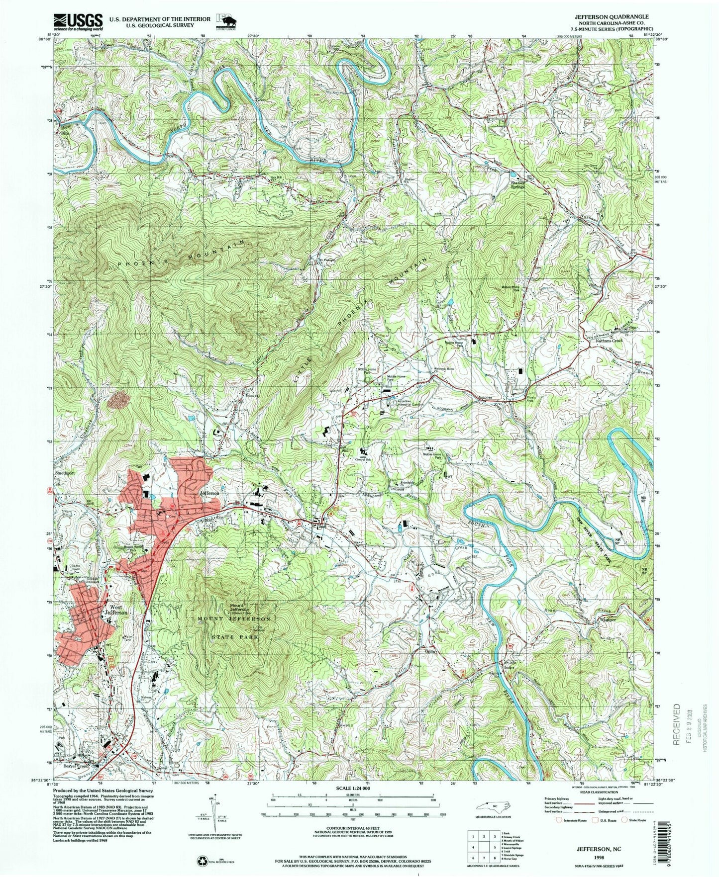
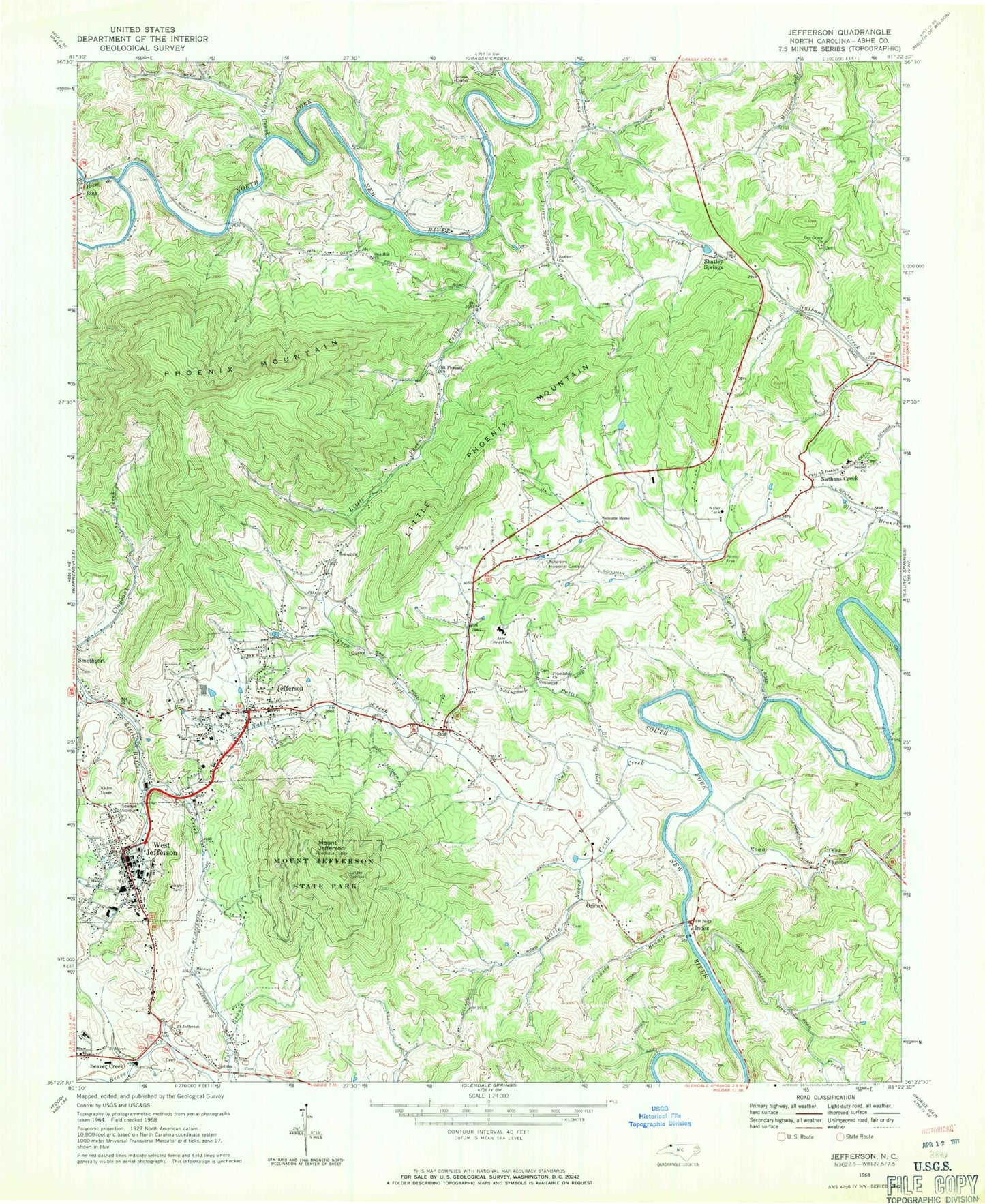
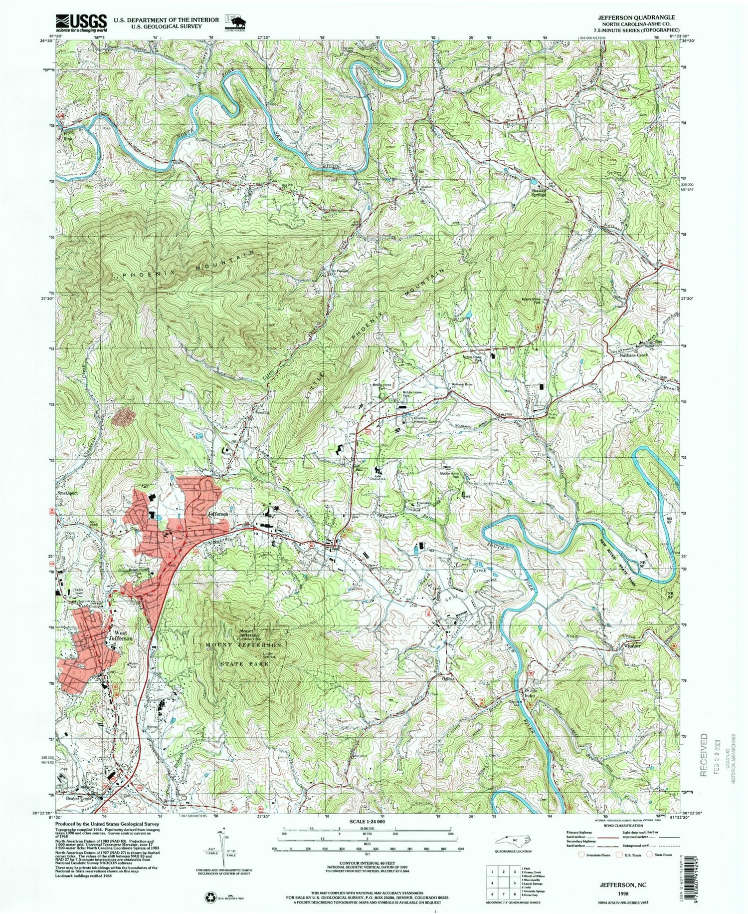
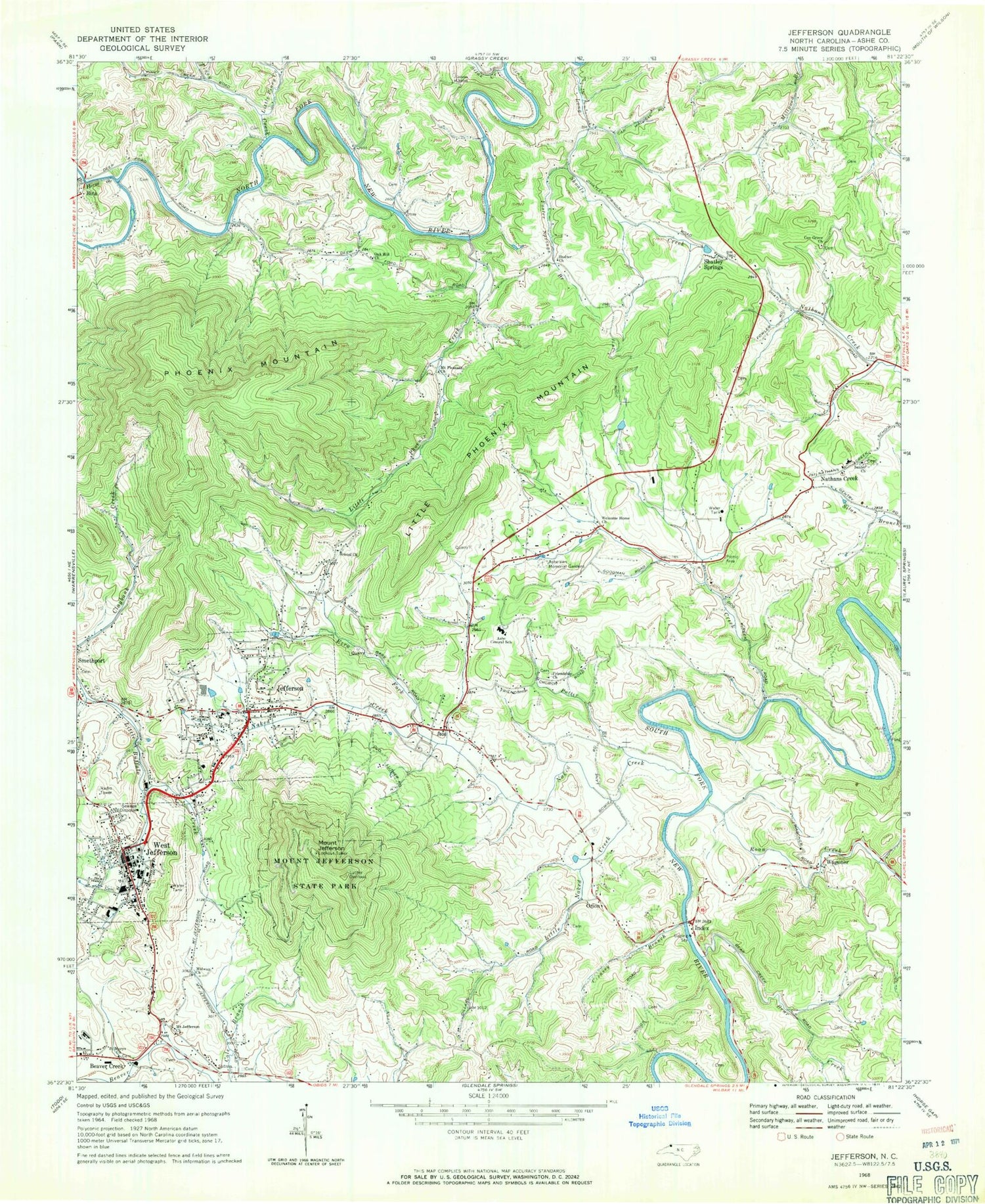
Historical USGS topographic quad map of Jefferson in the state of North Carolina. Typical map scale is 1:24,000, but may vary for certain years, if available. Print size: 24" x 27"
This quadrangle is in the following counties: Ashe.
The map contains contour lines, roads, rivers, towns, and lakes. Printed on high-quality waterproof paper with UV fade-resistant inks, and shipped rolled.
Contains the following named places: Ashe Central School, Ashelawn Memorial Gardens, Bear Creek, Bristol Church, Cox Grove Church, Creasey Branch, Dog Creek, Ezra Fork, Foster Springs Branch, Friendship Church, Greens Chapel, Index, Little Naked Creek, Little Phoenix Creek, Little Phoenix Mountain, Little Piney Creek, Long Shoals Creek, Luther Overlook, Midway Church, Mount Jefferson Church, Mount Jefferson State Park, Mount Pleasant Church, Naked Creek, Nathans Creek, Oak Hill Church, Phoenix Mountain, Piney Creek, Potter Branch, Roan Creek, Saint Marys Church, Senter Church, Shatley Springs, Shelter Church, Silas Creek, Welcome Home Church, Ashe County Airport, Jefferson Elementary School, West Jefferson Elementary School, Beaver Creek High School, Nathans Creek Elementary School, Wagoner Road Access, Big Horse Creek, WKSK-AM (West Jefferson), Bina, Jefferson, Mount Jefferson, Orion, Wagoner, West Jefferson, Township of Jefferson, Township of Walnut Hill, New River State Park, Town of Jefferson, Town of West Jefferson, Walters-Jacobs Cemetery, Jefferson Volunteer Fire Department, West Jefferson Volunteer Fire Department, New River Volunteer Fire and Rescue, Ashe Quarry, Ashe Memorial Hospital, Mill Branch, Ashe County Rescue Squad, Jefferson Post Office, West Jefferson Post Office, West Jefferson Police Department, Jefferson Police Department, Ashe County Sheriff's Office, Ashe County Detention Center


