MyTopo
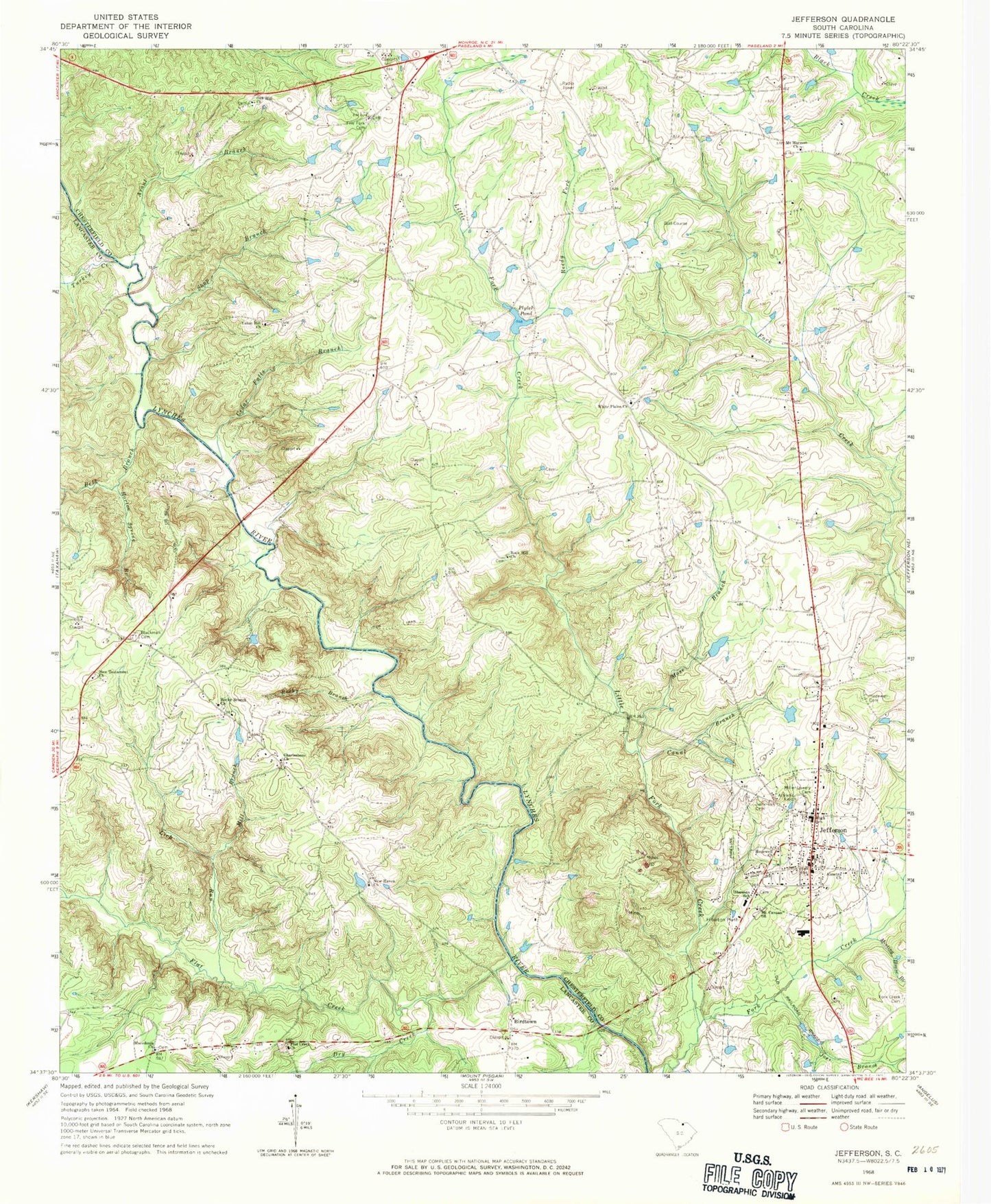
Classic USGS Jefferson South Carolina 7.5'x7.5' Topo Map
Couldn't load pickup availability
Historical USGS topographic quad map of Jefferson in the state of South Carolina. Map scale may vary for some years, but is generally around 1:24,000. Print size is approximately 24" x 27"
This quadrangle is in the following counties: Chesterfield, Lancaster.
The map contains contour lines, roads, rivers, towns, and lakes. Printed on high-quality waterproof paper with UV fade-resistant inks, and shipped rolled.
Contains the following named places: Almetta Church, Arant Branch, Belk Branch, Birdtown, Blackman Cemetery, Canal Branch, Cedar Falls Branch, Charlesboro Church, Charlesboro School, Cooks Mill, Dry Creek, Ethel Plyler Pond Dam D-3171, Five Fork Cemetery, Five Forks, Five Forks Church, Five Forks School, Flat Creek, Flat Creek Church, Flat Creek Fire Department Substation, Griffins Ford, Hopewell Cemetery, Hopewell Church, Horton Spring Branch, Jefferson, Jefferson Cemetery, Jefferson Elementary School, Jefferson Fire Department, Jefferson Rescue Squad, Joes Branch, Lick Run, Little Fork Creek, Macedonia Church, McManns Ford, Meeting House Branch, Mill Branch, Miller - Lowery Cemetery, Mose Branch, Mount Ariel Church, Mount Canaan Baptist Church, Mount Canaan Church Cemetery, Mount Harmon Baptist Cemetery, Mount Harmon Church, Mount Harmon School, New Haven Church, New Testament Church, Oak Hill Baptist Cemetery, Oak Hill Church, Oak Hill School, Plains School, Plyers Mill, Plyler Pond, Reedy Fork, Rock Hill Cemetery, Rock Hill Church, Rocky Branch, Rocky Branch Baptist Church, Sandhill Volunteer Fire Department Station 3, Shannon School, Shop Branch, Terry Lake Dam D-3172, Town of Jefferson, Turkey Creek, Union Hill Church, White Plains, White Plains Baptist Church, White Plains Cemetery, White Plains School