MyTopo
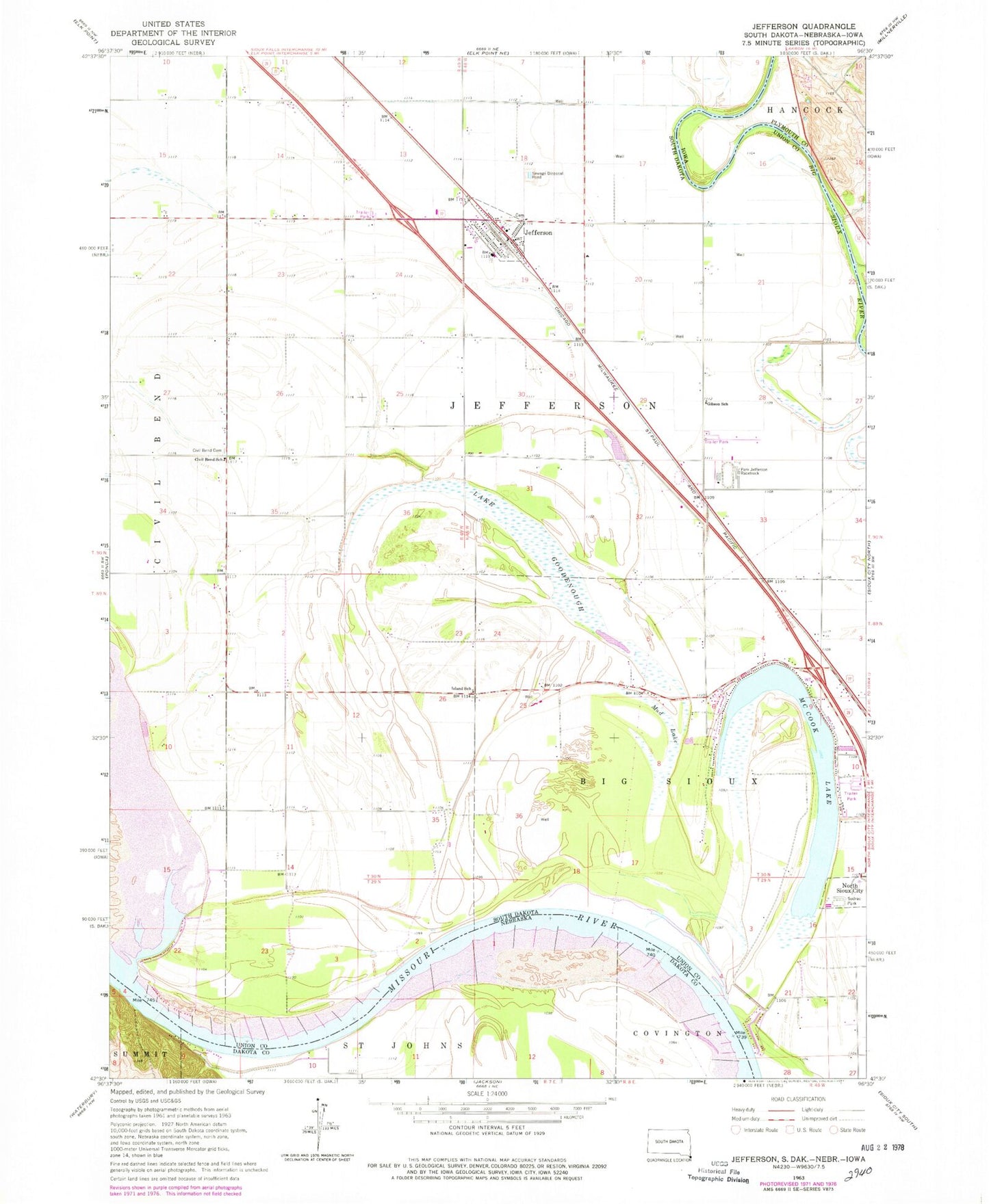
Classic USGS Jefferson South Dakota 7.5'x7.5' Topo Map
Couldn't load pickup availability
Historical USGS topographic quad map of Jefferson in the state of South Dakota. Map scale may vary for some years, but is generally around 1:24,000. Print size is approximately 24" x 27"
This quadrangle is in the following counties: Dakota, Plymouth, Union.
The map contains contour lines, roads, rivers, towns, and lakes. Printed on high-quality waterproof paper with UV fade-resistant inks, and shipped rolled.
Contains the following named places: City of Jefferson, Civil Bend Cemetery, Civil Bend School, Dakota Valley Elementary School, Dakota Valley High School, Dakota Valley Junior High School, Dakota Valley Upper Elementary School, Gibson School, Island School, Jefferson, Jefferson Ambulance Service, Jefferson City Hall, Jefferson Police Department, Jefferson Post Office, Jefferson Volunteer Fire Department, Kenslers Bend, Lake Goodenough, McCook Lake, Mud Lake, North Sioux City Fire Department, Park Jefferson Racetrack, Saint Peter's Cemetery, Sodrac Park, Township of Big Sioux, Township of Bix Sioux, Township of Jefferson, ZIP Codes: 57038, 57049