MyTopo
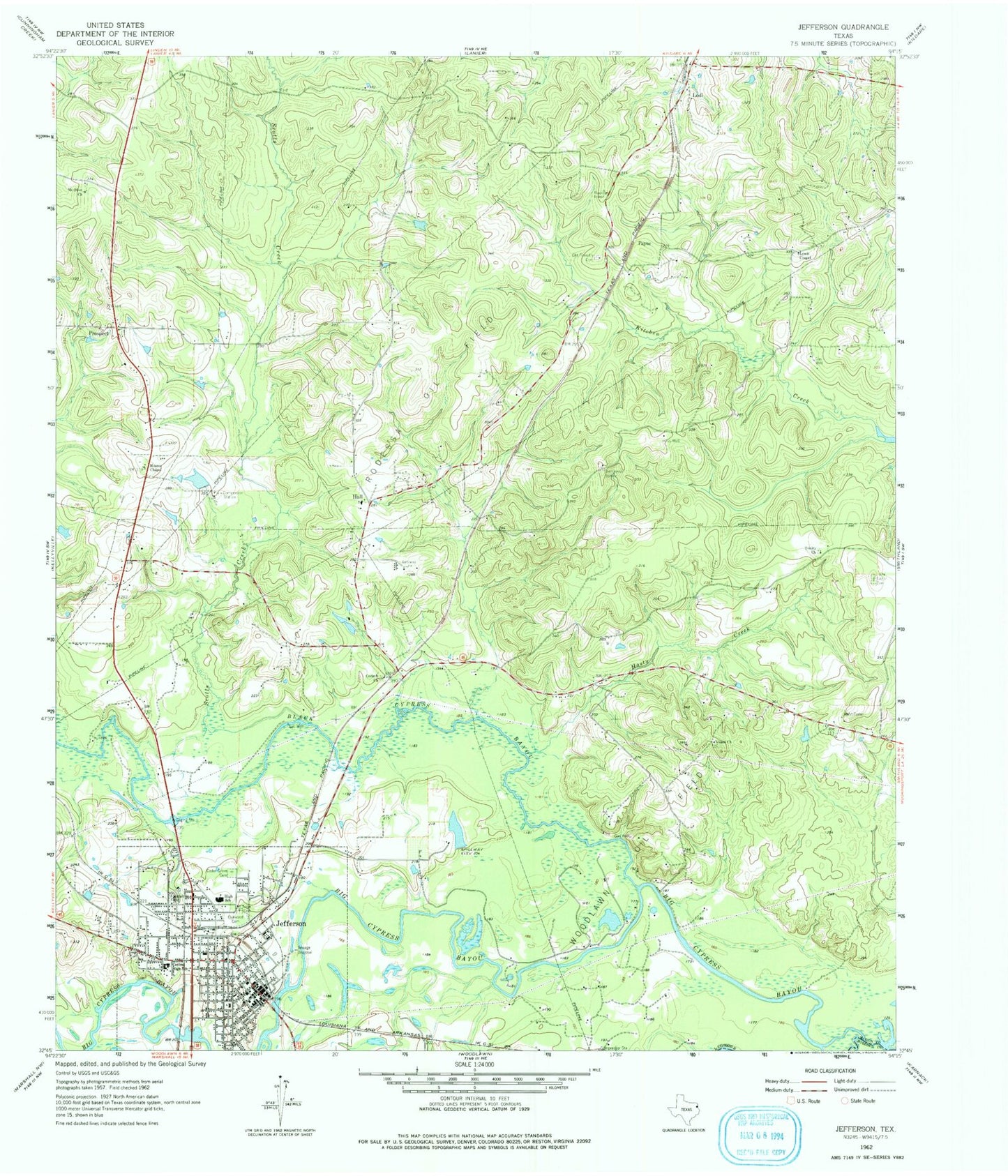
Classic USGS Jefferson Texas 7.5'x7.5' Topo Map
Couldn't load pickup availability
Historical USGS topographic quad map of Jefferson in the state of Texas. Map scale may vary for some years, but is generally around 1:24,000. Print size is approximately 24" x 27"
This quadrangle is in the following counties: Harrison, Marion.
The map contains contour lines, roads, rivers, towns, and lakes. Printed on high-quality waterproof paper with UV fade-resistant inks, and shipped rolled.
Contains the following named places: Alley-Carlson House, Beard House, Black Cypress Bayou, Captain William E Singleton House, Captain William Perry House, Cedar Grove Cemetery, Central High School, Christ Episcopal Church, Church of the Nazarene, City of Jefferson, Corinth Church, Epperson-McNutt House, Excelsior Hotel, First Baptist Church, Freeman Plantation, Freeman Plantation House, Hall, Hasty Creek, Hodge-Taylor House, House of the Seasons Museum, Immaculate Conception Church, Jefferson, Jefferson City Hall, Jefferson Elementary School, Jefferson High School, Jefferson Historic District, Jefferson Historical Museum, Jefferson Independent School District Police Department, Jefferson Middle School, Jefferson Playhouse, Jefferson Police Department, Jefferson Post Office, Jefferson Volunteer Fire Department, KJTX-FM (Jefferson), Lewis Chapel, Little Cypress Bayou, Magnolias house, Manning Field, Marion County, Marion County Jail, Marion County Precinct 1 Constable, Marion County Precinct 2 Constable, Marion County Sheriff's Office, Marshall Public Library, Moores Chapel, Mount Olive Church, Mount Sinai Cemetery, Oakwood Cemetery, Old Foundry Cemetery, Old United States Post Office and Courts Building, Payne, Perry M Woods House, Presbyterian Manse, Prospect, Rodessa Oil Field, Scotts Creek, Sedberry House, Texas Heritage Library, Texas History Museum, Trinity Church, Union Church, ZIP Code: 75657


