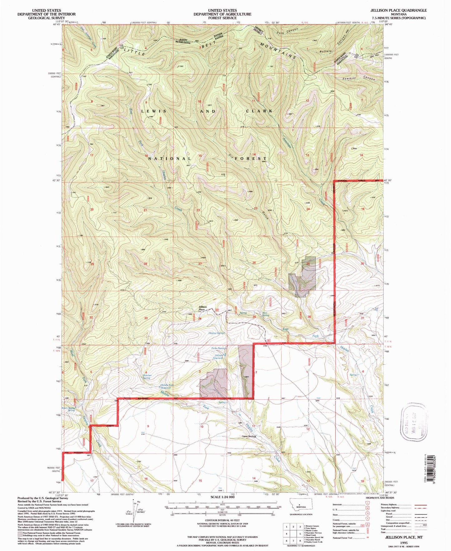
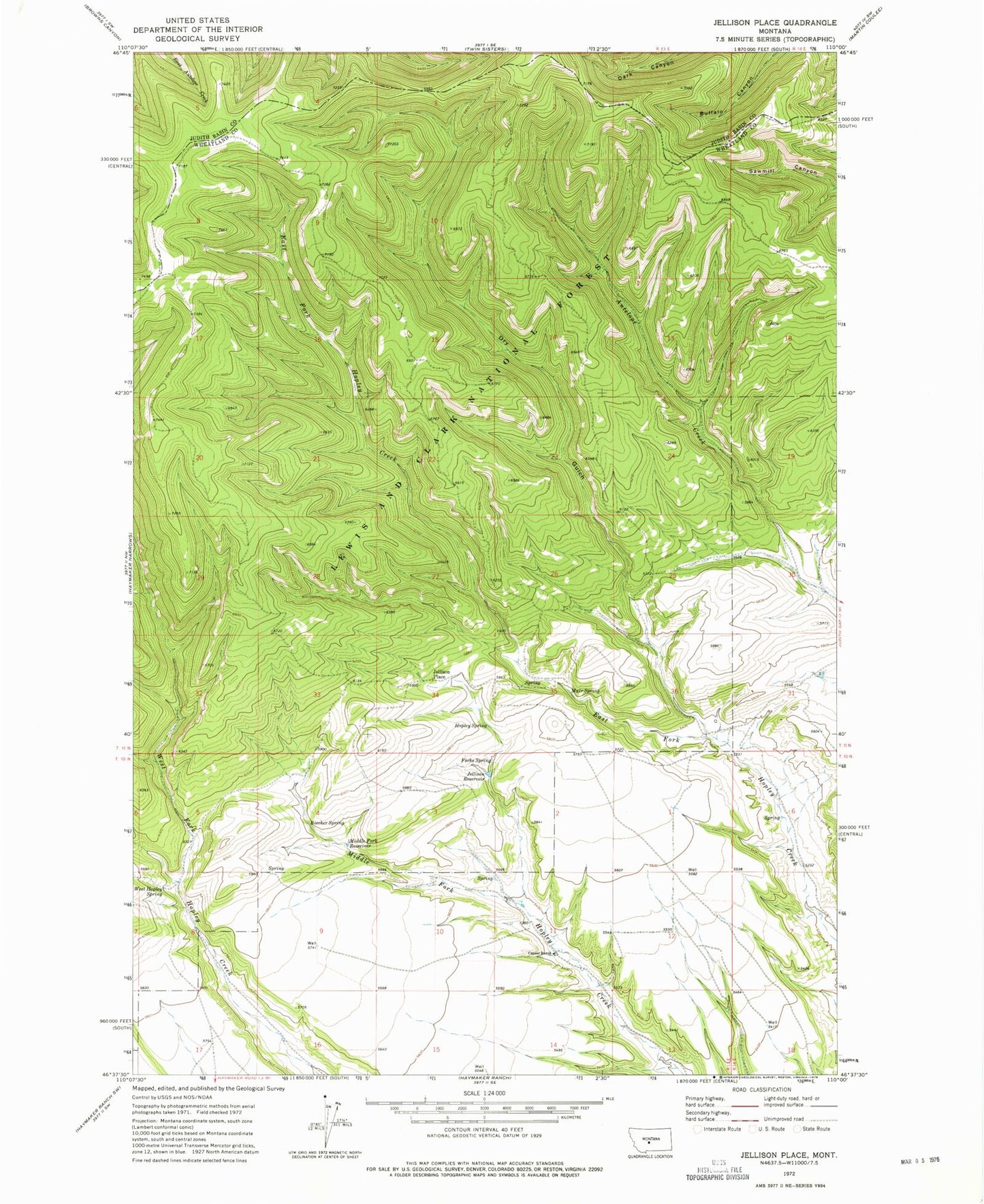
MyTopo
Classic USGS Jellison Place Montana 7.5'x7.5' Topo Map
Regular price
$16.95
Regular price
Sale price
$16.95
Unit price
per
Couldn't load pickup availability
Historical USGS topographic quad map of Jellison Place in the state of Montana. Map scale may vary for some years, but is generally around 1:24,000. Print size is approximately 24" x 27"
This quadrangle is in the following counties: Judith Basin, Wheatland.
The map contains contour lines, roads, rivers, towns, and lakes. Printed on high-quality waterproof paper with UV fade-resistant inks, and shipped rolled.
Contains the following named places: 10N13E12ABBA01 Well, Boecher Spring, Capser Ranch, Dry Gulch, Forks Spring, Hopley Spring, Jellison Place, Jellison Reservoir, Middle Fork Reservoir, Muir Spring, West Hopley Spring