MyTopo
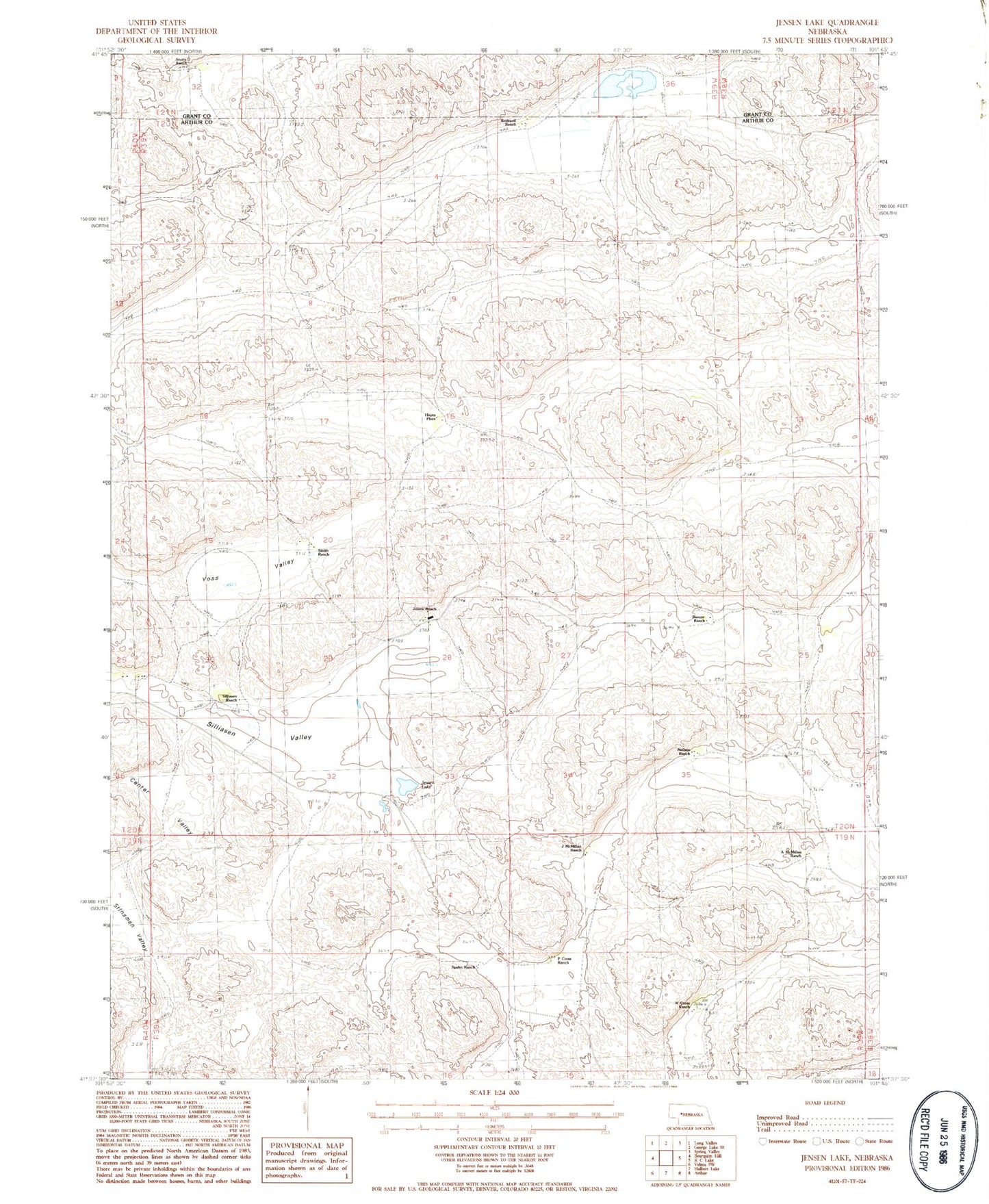
Classic USGS Jensen Lake Nebraska 7.5'x7.5' Topo Map
Couldn't load pickup availability
Historical USGS topographic quad map of Jensen Lake in the state of Nebraska. Map scale may vary for some years, but is generally around 1:24,000. Print size is approximately 24" x 27"
This quadrangle is in the following counties: Arthur, Grant.
The map contains contour lines, roads, rivers, towns, and lakes. Printed on high-quality waterproof paper with UV fade-resistant inks, and shipped rolled.
Contains the following named places: A McMillan Ranch, Beekins Ranch, Center Valley, Dancer Ranch, Hayes Place, J McMillan Ranch, Jensen Lake, Jensen Ranch, Neilson Ranch, P Cross Ranch, Rothwell Ranch, School Number 9, Silliasen Ranch, Silliasen Valley, Smith Ranch, Spahn Ranch, Stotts Ranch, Voss Valley, W Cross Ranch