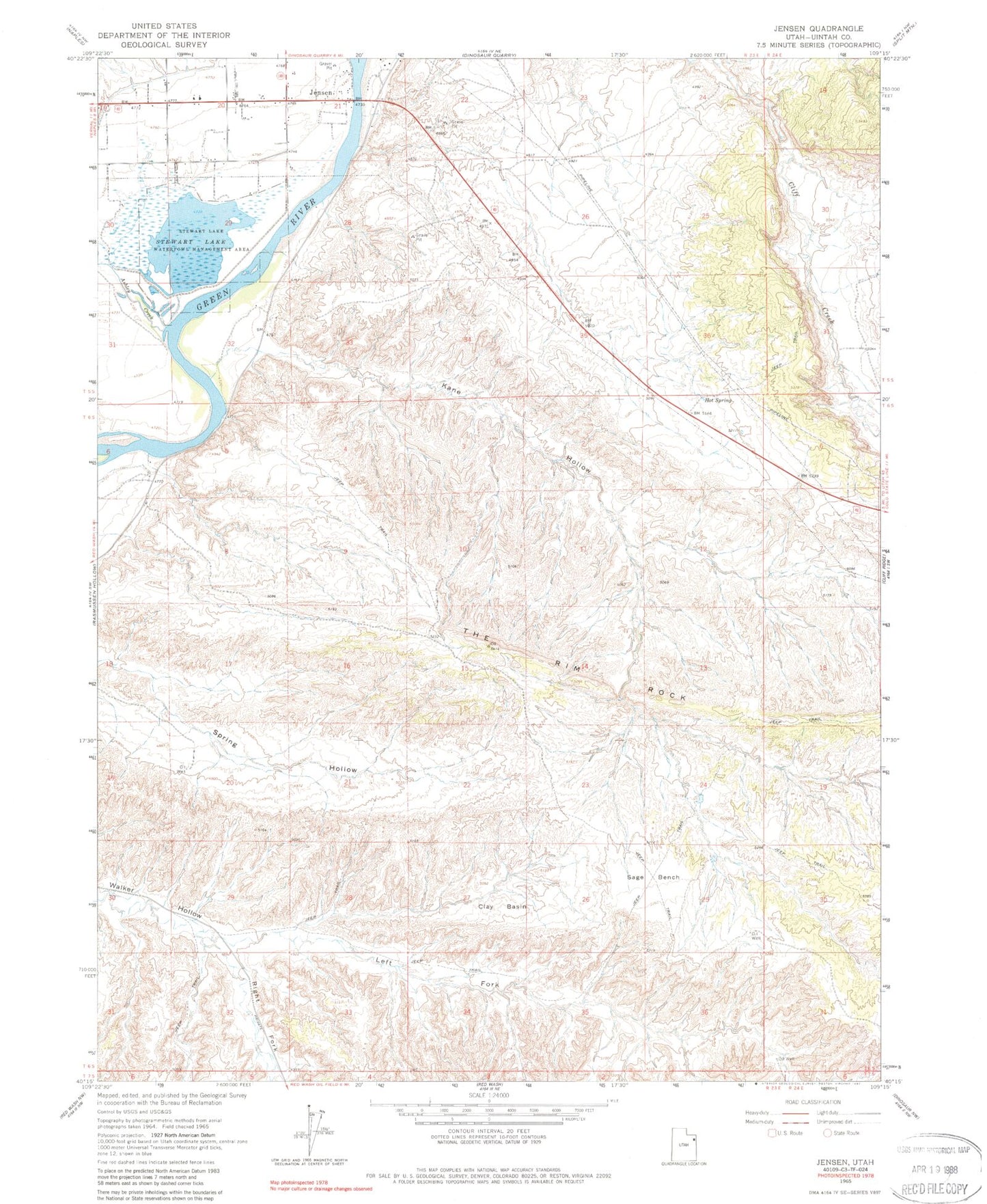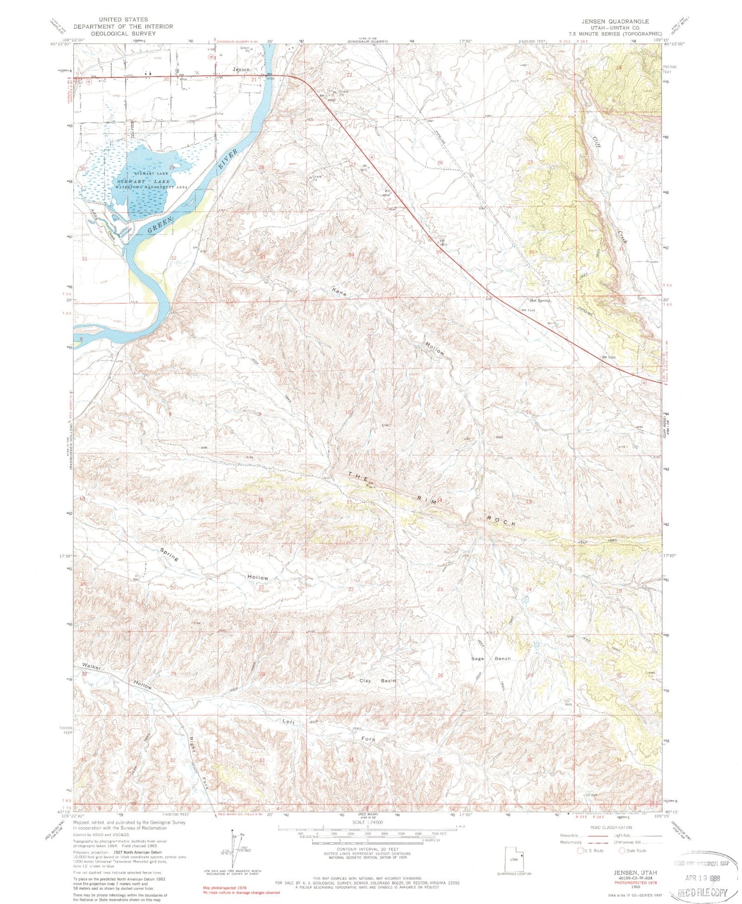
MyTopo
Classic USGS Jensen Utah 7.5'x7.5' Topo Map
Couldn't load pickup availability
Historical USGS topographic quad map of Jensen in the state of Utah. Map scale may vary for some years, but is generally around 1:24,000. Print size is approximately 24" x 27"
This quadrangle is in the following counties: Uintah.
The map contains contour lines, roads, rivers, towns, and lakes. Printed on high-quality waterproof paper with UV fade-resistant inks, and shipped rolled.
Contains the following named places: Ashley Creek, Clay Basin, Escalante Trail Historical Marker, Jensen, Jensen Census Designated Place, Jensen Post Office, Kane Hollow, Left Fork Walker Hollow, Right Fork Walker Hollow, Sage Bench, Stewart Lake, Stewart Lake Waterfowl Management Area, The Church of Jesus Christ of Latter Day Saints, Uintah Fire District Fire Station - Jensen