MyTopo
Classic USGS Jericho Valley California 7.5'x7.5' Topo Map
Couldn't load pickup availability
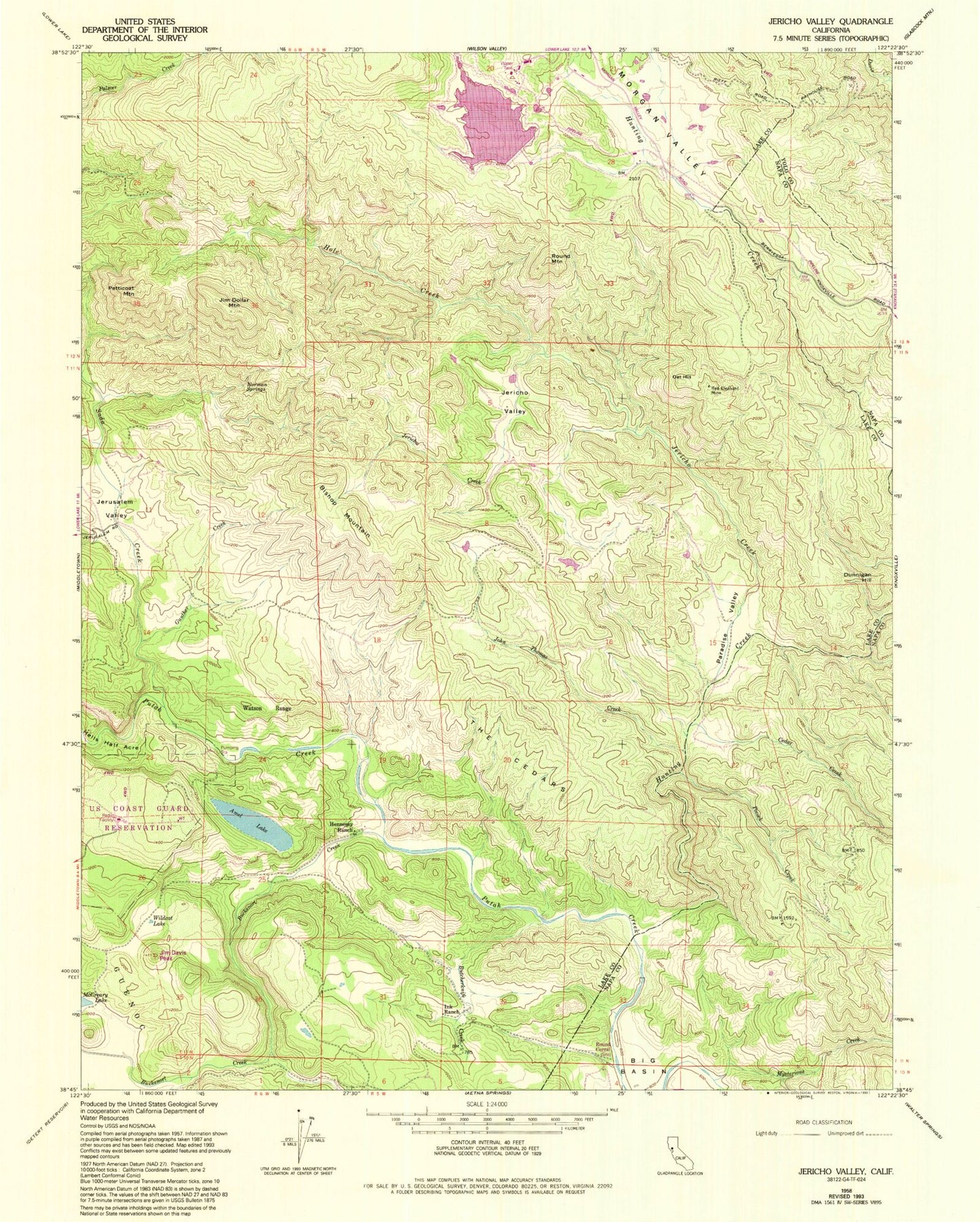
Historical USGS topographic quad map of Jericho Valley in the state of California. Typical map scale is 1:24,000, but may vary for certain years, if available. Print size: 24" x 27"
This quadrangle is in the following counties: Lake, Napa, Yolo.
The map contains contour lines, roads, rivers, towns, and lakes. Printed on high-quality waterproof paper with UV fade-resistant inks, and shipped rolled.
Contains the following named places: Amel Lake, Bishop Mountain, Butcherknife Creek, Cedar Creek, Gunther Creek, Hells Half Acre, Hennesey Ranch, Hole Creek, Hunting Creek, Ink Ranch, Jericho Creek, Jericho Valley, Jerusalem Valley, Jim Dollar Mountain, John Thomas Creek, Mysterious Creek, Norman Springs, Paradise Valley, Petticoat Mountain, Pocock Creek, Red Elephant Mine, Round Corral, Morgan Valley, Wildcat Lake, Soda Creek, Bucksnort Creek, Jim Davis Peak, Dunnigan Hill, Oat Hill, Round Mountain, The Cedars, Watson Range, West Coast Radio Receiving Station