MyTopo
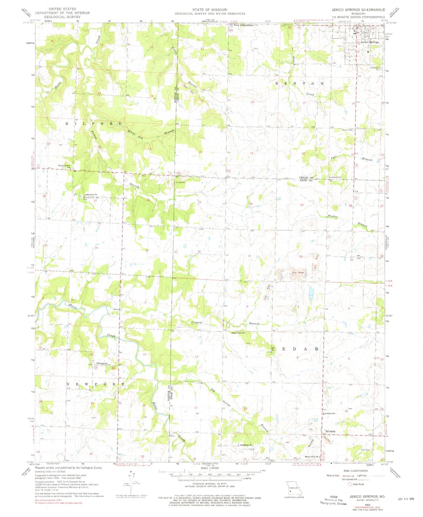
Classic USGS Jerico Springs Missouri 7.5'x7.5' Topo Map
Couldn't load pickup availability
Historical USGS topographic quad map of Jerico Springs in the state of Missouri. Map scale may vary for some years, but is generally around 1:24,000. Print size is approximately 24" x 27"
This quadrangle is in the following counties: Barton, Cedar, Dade.
The map contains contour lines, roads, rivers, towns, and lakes. Printed on high-quality waterproof paper with UV fade-resistant inks, and shipped rolled.
Contains the following named places: Anna - Edna Cemetery, Banner School, Bethlehem Church, Big George Branch, Campbell Lake Dam, Chaney Branch, Don Henley Lake, English School, Flory, German Cemetery, Ginger Hill School, Greenfield Cemetery, Greer School, Harmony Church, Jerico Springs, Jerico Springs Fire Department, Jerico Springs Post Office, Maple Grove Church, Mitchell School, Newport, Newport School, Number 706 Dam, Paragon School, Patton Branch, Pleasant View School, Rockdale School, Round Prairie Cemetery, Round Prairie School, Star School, Stony Point Church, Stony Point School, Sunshine School, Sylvania, Sylvania School, Township of Cedar, Township of Milford, Township of Newport, Village of Jerico Springs, West Independence, White Oak Branch, Winningham Lake Dam, ZIP Code: 64756