MyTopo
Classic USGS Jerome Arkansas 7.5'x7.5' Topo Map
Couldn't load pickup availability
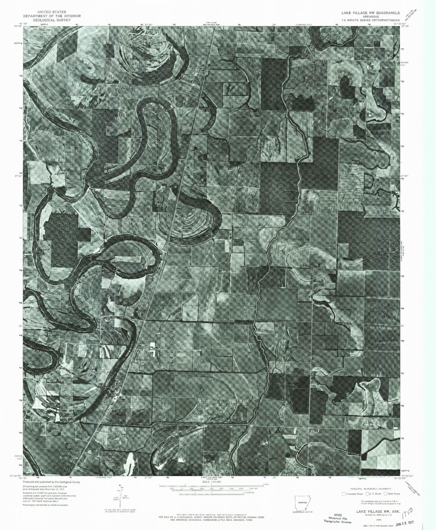
Historical USGS topographic quad map of Jerome in the state of Arkansas. Map scale may vary for some years, but is generally around 1:24,000. Print size is approximately 24" x 27"
This quadrangle is in the following counties: Ashley, Chicot, Drew.
The map contains contour lines, roads, rivers, towns, and lakes. Printed on high-quality waterproof paper with UV fade-resistant inks, and shipped rolled.
Contains the following named places: Bellaire Academy, Bethel Temple, Black Pond Slough, Decker, Deep Elm, Dermott Municipal Airport, Dickson Brake, Hudspeth, Jerome, Jerome Relocation Center, Lake Wallace, Lake Wallace Dam, Little Click Bayou, Morning Star Church, Oak Grove Church, Pleasant Grove Cemetery, Pleasant Grove Church, Silver Mound Cemetery, Silver Mound Church, Town of Jerome, Township of Bartholomew