MyTopo
Classic USGS Jerry City Ohio 7.5'x7.5' Topo Map
Couldn't load pickup availability
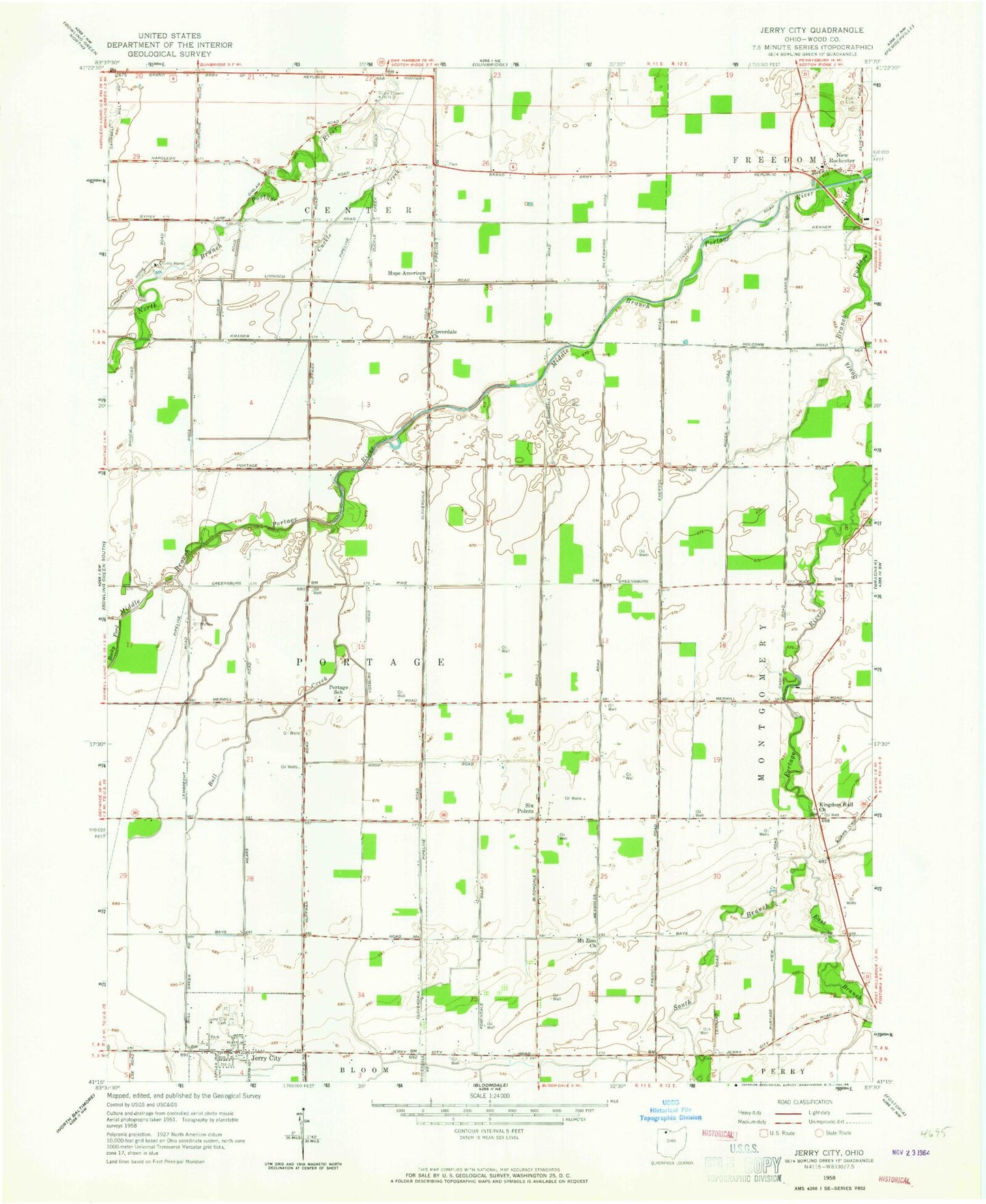
Historical USGS topographic quad map of Jerry City in the state of Ohio. Map scale may vary for some years, but is generally around 1:24,000. Print size is approximately 24" x 27"
This quadrangle is in the following counties: Wood.
The map contains contour lines, roads, rivers, towns, and lakes. Printed on high-quality waterproof paper with UV fade-resistant inks, and shipped rolled.
Contains the following named places: Aring Field, Bull Creek, Carter Park, Cessna Ditch, Cloverdale, Cloverdale United Methodist Church, Cuckle Creek, East Branch Portage River, East Branch South Branch Portage River, Eckert Ditch, Elmwood Elementary School, Elmwood High School, Elmwood Middle School, Fish Cemetery, Hope Church, Jerry City, Jerry City Cemetery, Jerry City Fire Department, Jerry City Post Office, Mennonite Cemetery, Meyer Farms, Mid - County Ambulance 120, Middle Branch Portage River, Mount Zion Cemetery, Mount Zion Church, Myers Cemetery, New Rochester, Portage School, Rhodes Ditch, Saint Pauls Church, Shelton Airport, Six Points, South Branch Portage River, Township of Portage, Village of Jerry City, Wood County, Wood County Historical Center, Wood County Home, Wood County Sheriff's Office, ZIP Codes: 43437, 43451, 43466