MyTopo
Classic USGS Jerusalem Mountain Arizona 7.5'x7.5' Topo Map
Regular price
$16.95
Regular price
Sale price
$16.95
Unit price
per
Couldn't load pickup availability
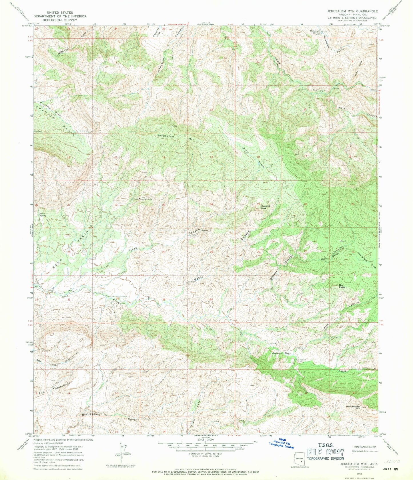
Historical USGS topographic quad map of Jerusalem Mountain in the state of Arizona. Map scale may vary for some years, but is generally around 1:24,000. Print size is approximately 24" x 27"
This quadrangle is in the following counties: Pinal.
The map contains contour lines, roads, rivers, towns, and lakes. Printed on high-quality waterproof paper with UV fade-resistant inks, and shipped rolled.
Contains the following named places: Bull Basin, Gable Canyon, Haas Canyon, Huggins Peak, Indian Canyon, Jerusalem Mountain, Lime Spring, Lower Coalfield Mine, Martin Canyon, Mings Ranch, Red Rooster Mountain, Reed Basin, Rockhouse Spring, The Butte, Walker Springs, Walker Springs Canyon, White Bluffs