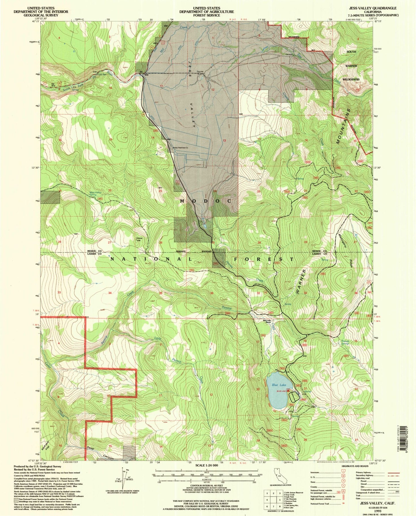
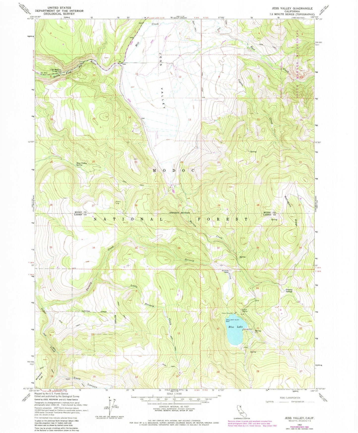
MyTopo
Classic USGS Jess Valley California 7.5'x7.5' Topo Map
Couldn't load pickup availability
Historical USGS topographic quad map of Jess Valley in the state of California. Map scale may vary for some years, but is generally around 1:24,000. Print size is approximately 24" x 27"
This quadrangle is in the following counties: Lassen, Modoc.
The map contains contour lines, roads, rivers, towns, and lakes. Printed on high-quality waterproof paper with UV fade-resistant inks, and shipped rolled.
Contains the following named places: Blue Lake, Blue Lake Campground, Blue Lake Dam, Blue Lake Ranch, Campbell, Coyote Creek, Deep Canyon, East Creek, Flournoy Ranch, Harvey Creek, Jess Valley, Little Meadows Campground, Little Parsnip Creek, Mahogany Ridge, McKabe Flat, Modoc Peatmoss Company, Parsnip Creek, Parsnip Springs, West Valley Spring