MyTopo
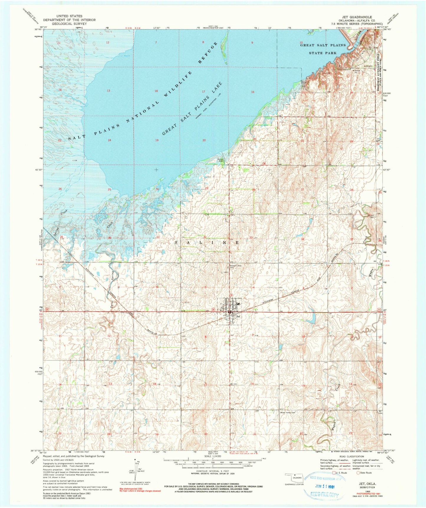
Classic USGS Jet Oklahoma 7.5'x7.5' Topo Map
Couldn't load pickup availability
Historical USGS topographic quad map of Jet in the state of Oklahoma. Map scale may vary for some years, but is generally around 1:24,000. Print size is approximately 24" x 27"
This quadrangle is in the following counties: Alfalfa.
The map contains contour lines, roads, rivers, towns, and lakes. Printed on high-quality waterproof paper with UV fade-resistant inks, and shipped rolled.
Contains the following named places: Clay Creek, Cottonwood Creek, Great Salt Plains Dam, Great Salt Plains Lake, Great Salt Plains Reservoir, Great Salt Plains State Park, Jet, Jet Post Office, Jet Volunteer Fire Department, Kegelman Air Force Auxiliary Field, Milan Valley Cemetery, Pleasant View Cemetery, Spring Creek, Thrawl Cemetery, Timberlake Elementary School, Town of Jet, Township of Saline, Twin Spring Creek, ZIP Code: 73749