MyTopo
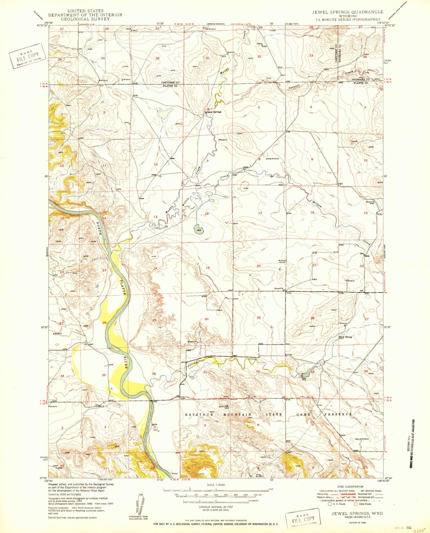
Classic USGS Jewel Springs Wyoming 7.5'x7.5' Topo Map
Couldn't load pickup availability
Historical USGS topographic quad map of Jewel Springs in the state of Wyoming. Map scale may vary for some years, but is generally around 1:24,000. Print size is approximately 24" x 27"
This quadrangle is in the following counties: Converse, Niobrara, Platte.
The map contains contour lines, roads, rivers, towns, and lakes. Printed on high-quality waterproof paper with UV fade-resistant inks, and shipped rolled.
Contains the following named places: Boxelder Creek, Buck Camp Spring, Cottonwood Creek, Crandall Dam, Glendo Reservoir, Glendo State Park, Jewel Springs, Morris Canyon, Muddy Creek, Muddy Number 1 Dam, Muddy Reservoir Number 1, Platte County Rural Fire District 2F, Rattlesnake Ridge, Sentinel Rock, Spanish Creek, Willow Creek