MyTopo
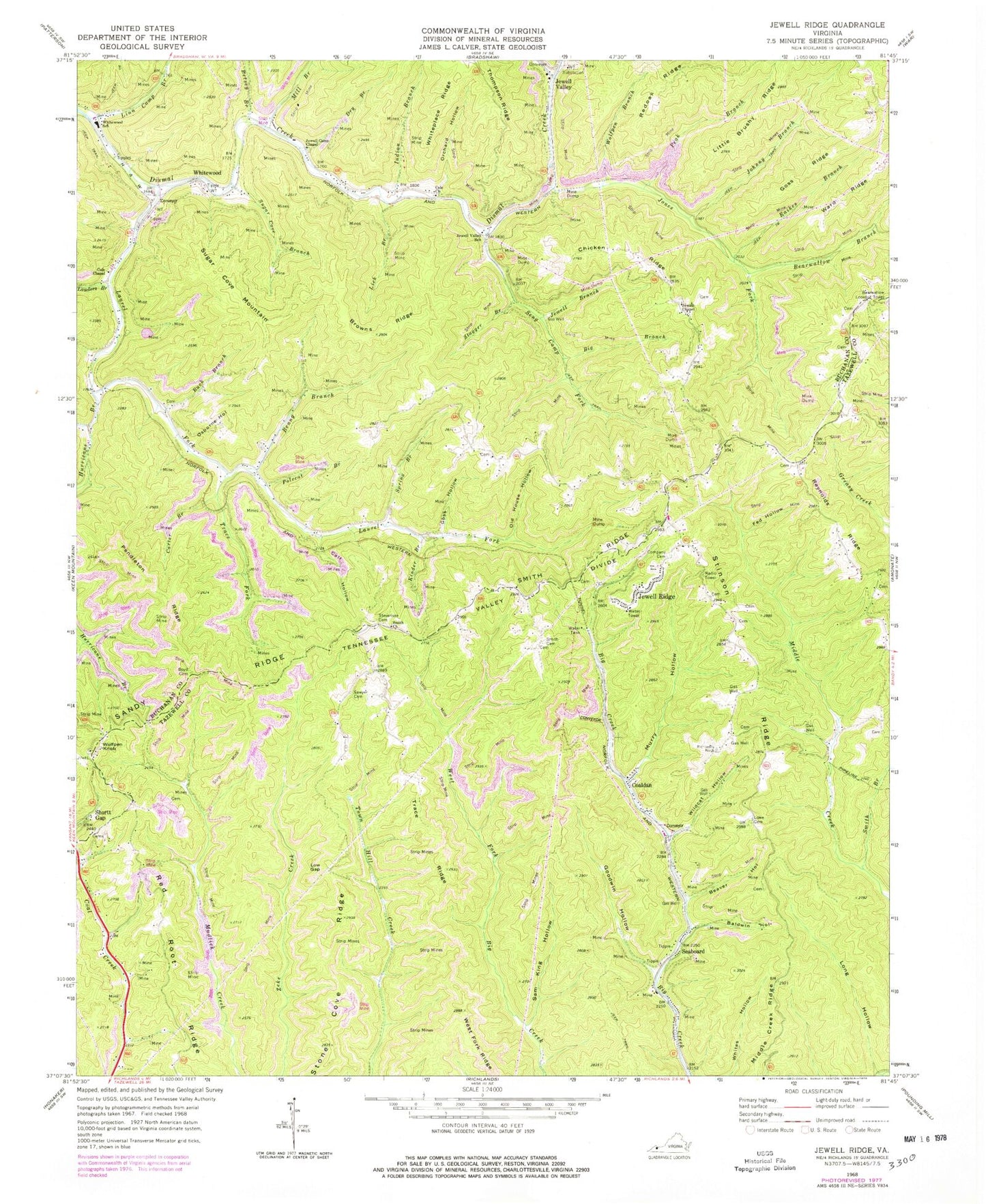
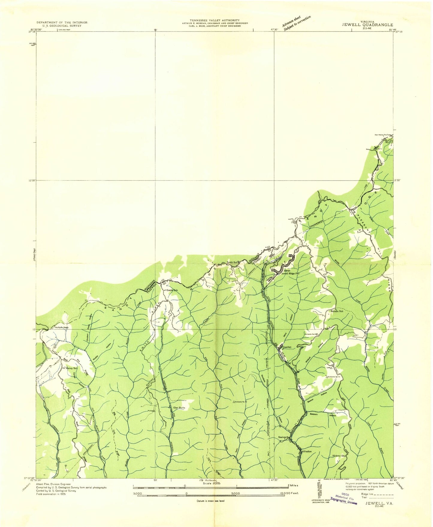
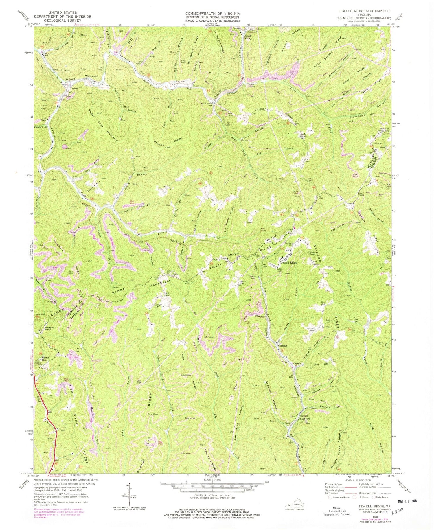
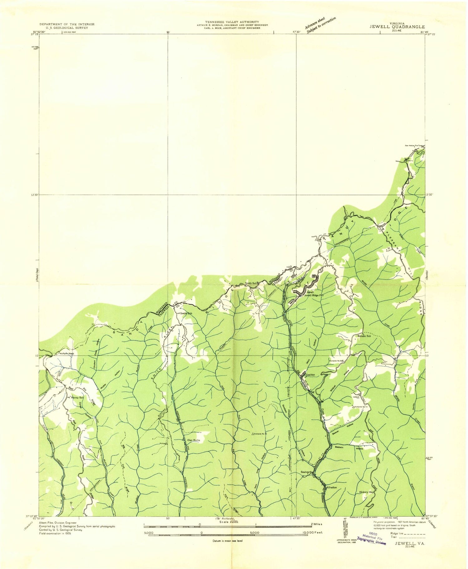
Classic USGS Jewell Ridge Virginia 7.5'x7.5' Topo Map
Couldn't load pickup availability
Historical USGS topographic quad map of Jewell Ridge in the state of Virginia. Map scale may vary for some years, but is generally around 1:24,000. Print size is approximately 24" x 27"
This quadrangle is in the following counties: Buchanan, Tazewell.
The map contains contour lines, roads, rivers, towns, and lakes. Printed on high-quality waterproof paper with UV fade-resistant inks, and shipped rolled.
Contains the following named places: Afredton, Baldwin Hollow, Bear Pin Ridge, Bearwallow Branch, Bearwallow Lookout Tower, Beaver Hollow, Benny Branch, Betsey Branch, Big Branch, Boyd Cemetery, Brown School, Browns Ridge, Brushytop Fork, Buck Branch, Calf Hollow, Carter Branch, Carter Hollow, Chicken Coop Hollow, Chicken Ridge, Coaldan, Cole Chapel, Cole Church, Company Cemetery, Dismal River Volunteer Rescue Squad, Dry Branch, Fed Hollow, Glen Burke, Goodwin Hollow, Goss Hollow, Goss Ridge, Hickory Gap, Hurricane Branch, Indian Branch, Jewell Branch, Jewell Camp Chapel, Jewell Chapel, Jewell Ridge, Jewell Ridge Census Designated Place, Jewell Ridge Elementary School, Jewell Ridge Post Office, Jewell Ridge Presbyterian Church, Jewell Ridge Volunteer Fire Department, Jewell Valley, Jewell Valley School, Jones Fork, Kinder Branch, Lairds Chapel School, Lauders Branch, Laurel Fork, Laurel School, Lick Branch, Linn Camp Branch, Little Brushy Ridge, Little Hurricane Branch, Long Branch, Long Hollow, Low Gap, Lowe Cemetery, Matney School, Mill Branch, Muddy Hollow, Murry Hollow, Northwestern District, Old House Hollow, Orchard Hollow, Osborne Hollow, Peak Branch, Pendleton Ridge, Polecat Branch, Raikes Branch, Red Root Ridge, Reedy School, Reynolds Ridge, Sam King Hollow, Sawyer Cemetery, Seaboard, Seaboard School, Seng Camp Fork, Shortt Gap, Smith Branch, Smith Cemetery, Smith Church, Smith Ridge, Smith School, Spring Branch, Stagger Branch, Stevenson Cemetery, Stinson Ridge, Stinson School, Stone Cove Ridge, Sugar Cove Branch, Sugar Cove Mountain, Sulphur Spring, Thompson Ridge, Trace Fork, Trace Ridge, Ward Ridge, WGTH-FM (Richlands), Whiteplace Ridge, Whitewood, Whitewood Elementary School, Whitewood Post Office, Whitewood School, Whitewood Volunteer Fire Department, Wildcat Hollow, WJHT-FM (Cedar Bluff), Wolfpen Branch, Wolfpen Knob, ZIP Codes: 24622, 24657


