MyTopo
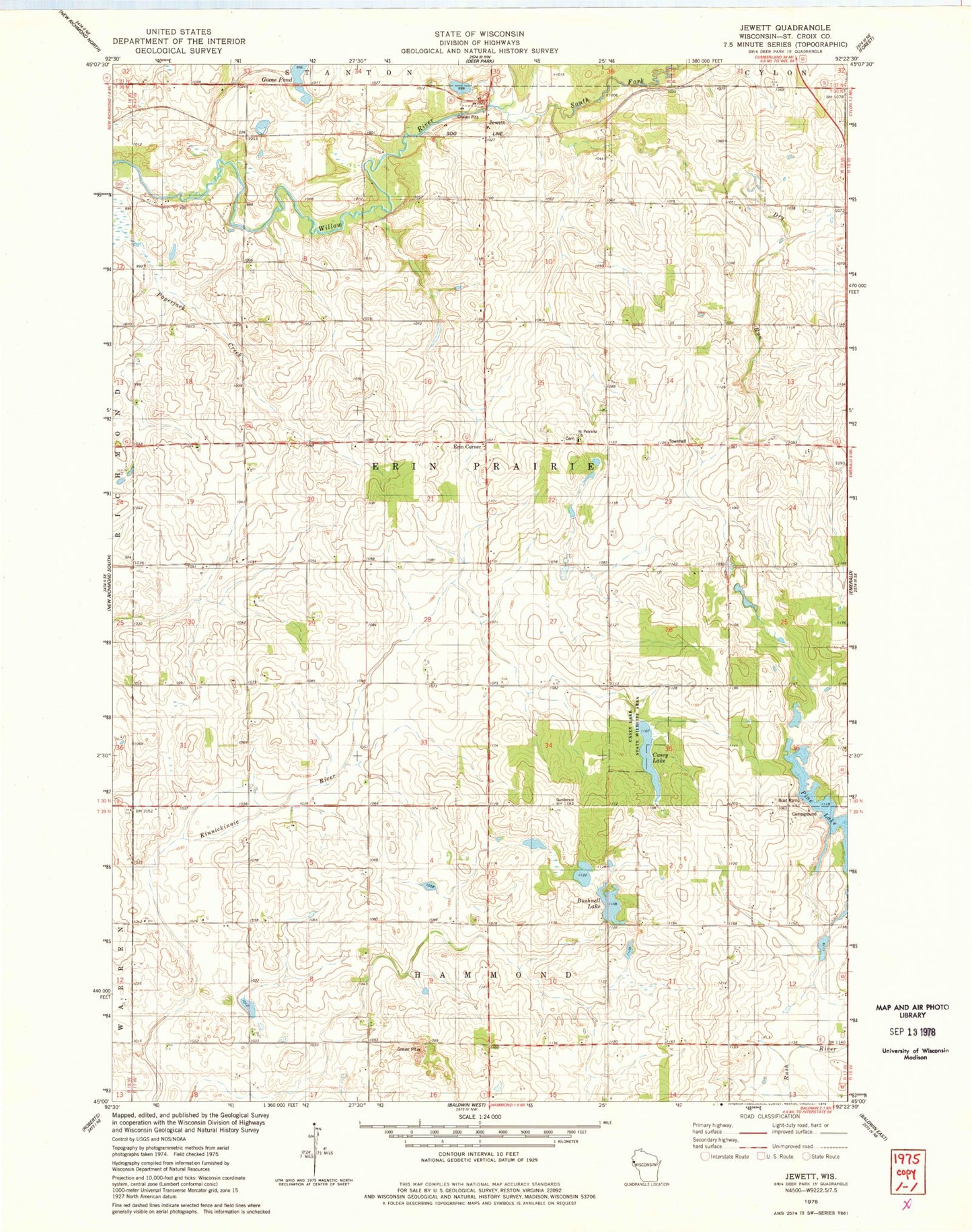
Classic USGS Jewett Wisconsin 7.5'x7.5' Topo Map
Couldn't load pickup availability
Historical USGS topographic quad map of Jewett in the state of Wisconsin. Map scale may vary for some years, but is generally around 1:24,000. Print size is approximately 24" x 27"
This quadrangle is in the following counties: St. Croix.
The map contains contour lines, roads, rivers, towns, and lakes. Printed on high-quality waterproof paper with UV fade-resistant inks, and shipped rolled.
Contains the following named places: 2 Reservoir, Banner School, Borgstrom-Erin Prairie Town G9127 Dam, Bushnell Lake, Casey Lake, Casey Lake State Wildlife Area, Dry Run, Dry Run School, Erin Corner, Erin Corners School, Erin Prairie Townhall, Goose Pond, Gopher Lawn School, Hammond School, Jewett, Jewett Mills School, Liberty School, Pine Lake, Saint Croix County, Saint Patricks Church, South Fork Willow River, Three Willows School, Town of Erin Prairie