MyTopo
Classic USGS Jicarilla Peak New Mexico 7.5'x7.5' Topo Map
Regular price
$16.95
Regular price
Sale price
$16.95
Unit price
per
Couldn't load pickup availability
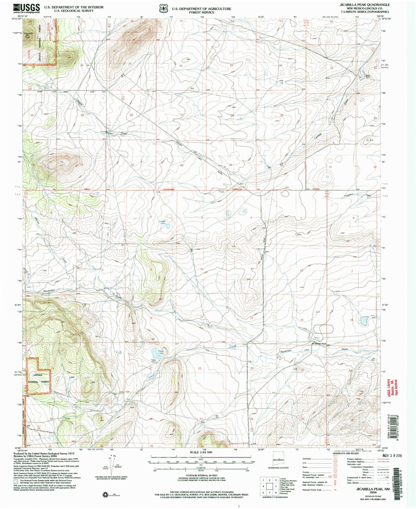
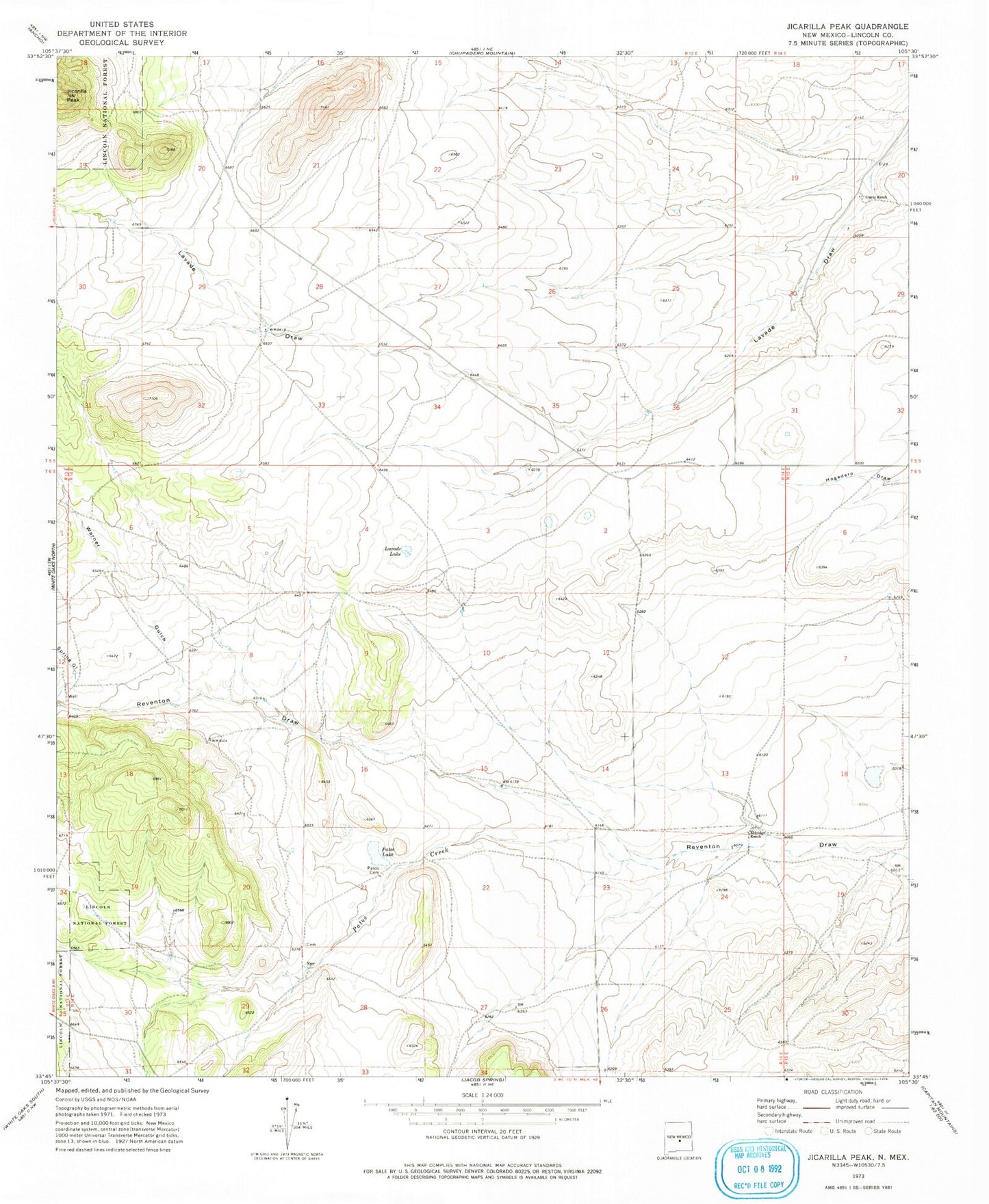
Historical USGS topographic quad map of Jicarilla Peak in the state of New Mexico. Map scale may vary for some years, but is generally around 1:24,000. Print size is approximately 24" x 27"
This quadrangle is in the following counties: Lincoln.
The map contains contour lines, roads, rivers, towns, and lakes. Printed on high-quality waterproof paper with UV fade-resistant inks, and shipped rolled.
Contains the following named places: Davis Ranch, Eldridge Ranch, Fairday Mine, Ferro Mine, Jicarilla Peak, Lavade Lake, Patos Cemetery, Patos Lake, Riverside Mine, Warner Gulch