MyTopo
Classic USGS Jim Canyon Utah 7.5'x7.5' Topo Map
Regular price
$16.95
Regular price
Sale price
$16.95
Unit price
per
Couldn't load pickup availability
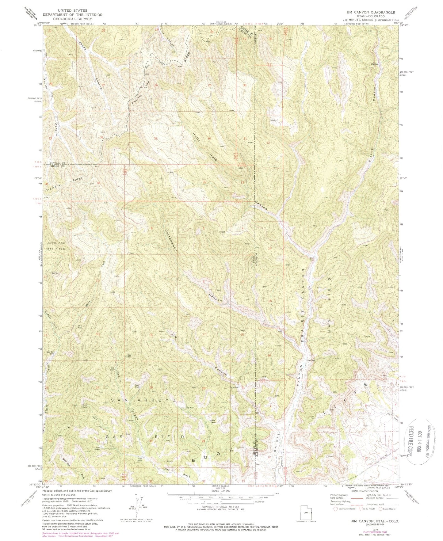
Historical USGS topographic quad map of Jim Canyon in the states of Utah, Colorado. Map scale may vary for some years, but is generally around 1:24,000. Print size is approximately 24" x 27"
This quadrangle is in the following counties: Garfield, Grand, Uintah.
The map contains contour lines, roads, rivers, towns, and lakes. Printed on high-quality waterproof paper with UV fade-resistant inks, and shipped rolled.
Contains the following named places: Bar X Canyon, Cottonwood Canyon, County Line Ridge, East Fork Bitter Creek, Hells Hole Canyon, Jim Canyon, Middle Fork Bitter Creek, Prairie Canyon Gas Field, San Arroyo Gas Field, West Fork Bitter Creek