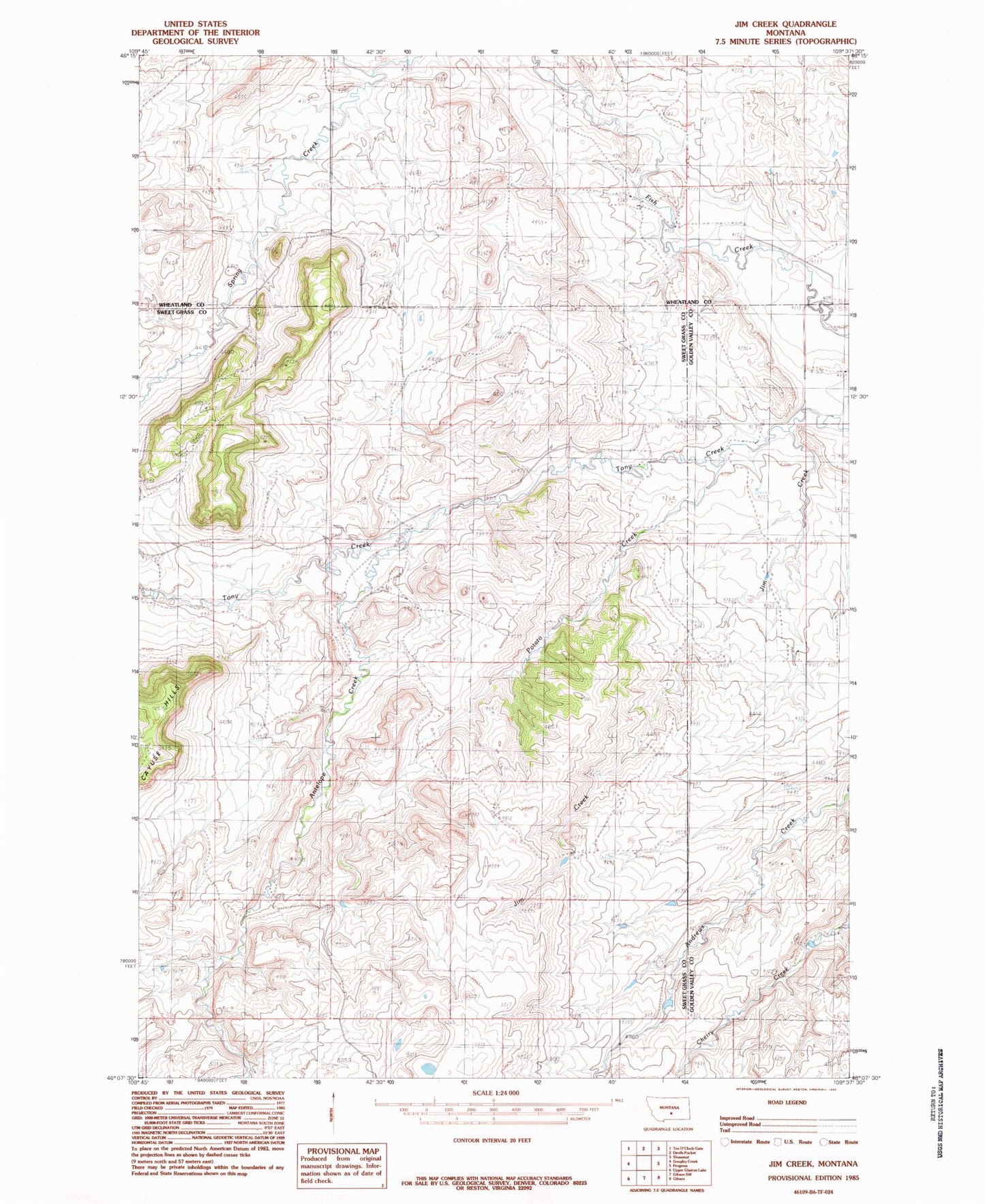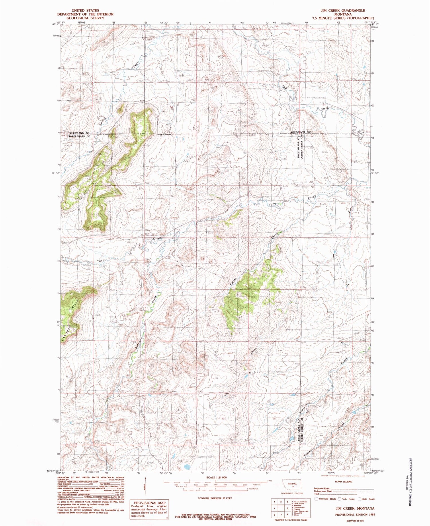
MyTopo
Classic USGS Jim Creek Montana 7.5'x7.5' Topo Map
Regular price
$16.95
Regular price
Sale price
$16.95
Unit price
per
Couldn't load pickup availability
Historical USGS topographic quad map of Jim Creek in the state of Montana. Map scale may vary for some years, but is generally around 1:24,000. Print size is approximately 24" x 27"
This quadrangle is in the following counties: Golden Valley, Sweet Grass, Wheatland.
The map contains contour lines, roads, rivers, towns, and lakes. Printed on high-quality waterproof paper with UV fade-resistant inks, and shipped rolled.
Contains the following named places: 05N16E21C___01 Well, 05N16E25____01 Well, 05N16E36A___01 Well, 06N16E34DCC_01 Well, Antelope Creek, Jim Creek, Potato Creek, Spring Creek