MyTopo
Classic USGS Jim Creek Wyoming 7.5'x7.5' Topo Map
Regular price
$16.95
Regular price
Sale price
$16.95
Unit price
per
Couldn't load pickup availability
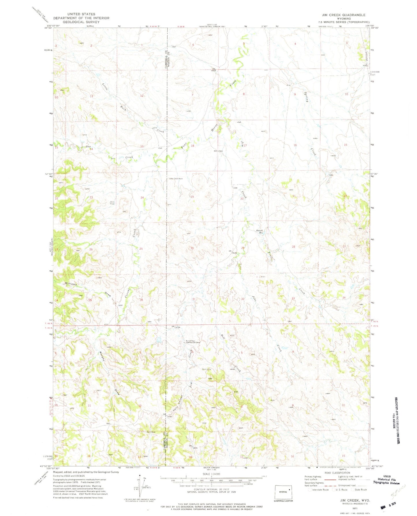
Historical USGS topographic quad map of Jim Creek in the state of Wyoming. Map scale may vary for some years, but is generally around 1:24,000. Print size is approximately 24" x 27"
This quadrangle is in the following counties: Campbell, Weston.
The map contains contour lines, roads, rivers, towns, and lakes. Printed on high-quality waterproof paper with UV fade-resistant inks, and shipped rolled.
Contains the following named places: Bell Creek, Corral Creek, Harold Place, Harrel Reservoir, Hells Canyon, Jake Creek, Jay Creek, Jim Creek, Little Buck Creek, Murphy Draw, Trail Creek, Williams Draw