
MyTopo
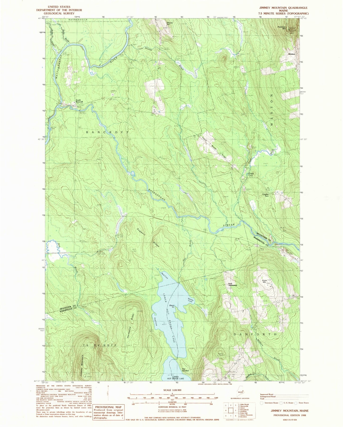
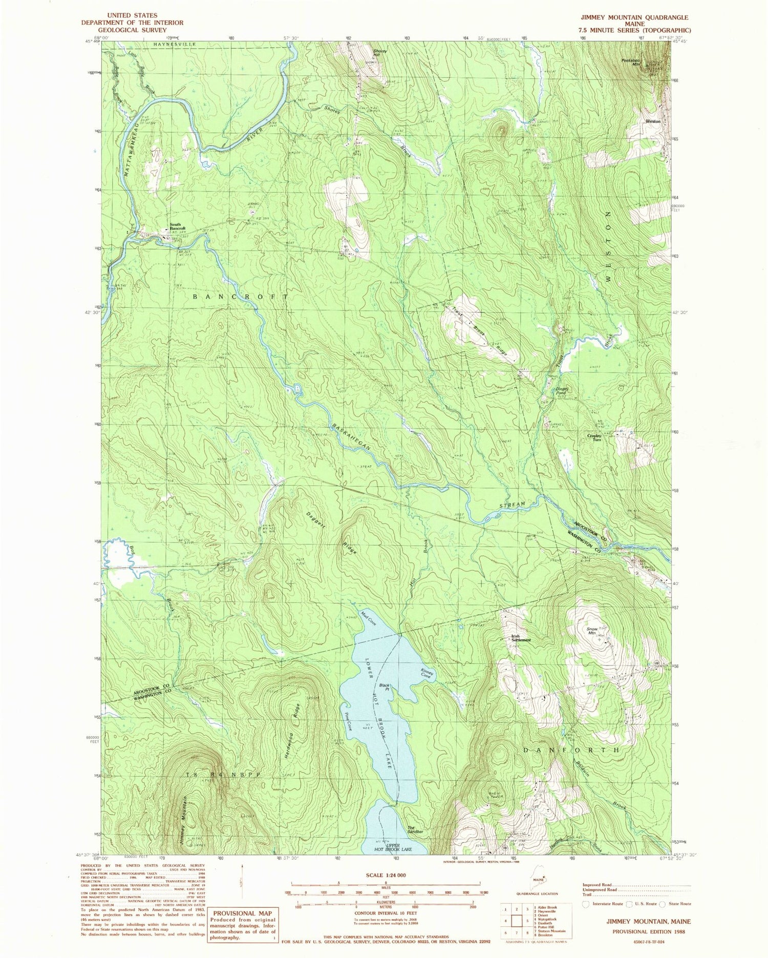
Classic USGS Jimmey Mountain Maine 7.5'x7.5' Topo Map
Couldn't load pickup availability
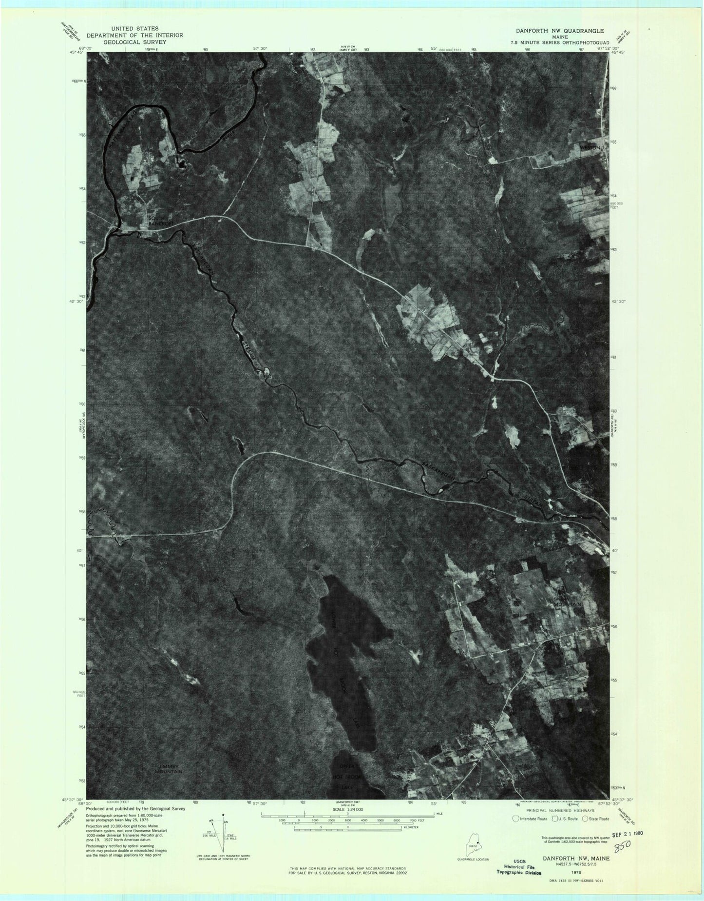
Historical USGS topographic quad map of Jimmey Mountain in the state of Maine. Typical map scale is 1:24,000, but may vary for certain years, if available. Print size: 24" x 27"
This quadrangle is in the following counties: Aroostook, Washington.
The map contains contour lines, roads, rivers, towns, and lakes. Printed on high-quality waterproof paper with UV fade-resistant inks, and shipped rolled.
Contains the following named places: Baldwin Brook, Baskahegan Stream, Battle Brook, Black Point, Bonner School, Daggett Ridge, Dingey Pond, Hardwood Ridge, Hot Brook, Jimmey Mountain, Kinney Cove, Little Battle Brook, Lower Hot Brook Lake, Mud Cove, Peekaboo Mountain, Pine Cove, Russell Camp (historical), Shorey Brook, Shorey Hill, Snow Mountain, The Sandbar, Trout Brook, Trout Brook Cemetery, Trout Brook Ridge, Cropley Turn, Irish Settlement, South Bancroft, Weston, Town of Bancroft, Weston Community Church, Toole Bean Spinney Cemetery, Unorganized Territory of Bancroft