MyTopo
Classic USGS Jimtown Oregon 7.5'x7.5' Topo Map
Couldn't load pickup availability
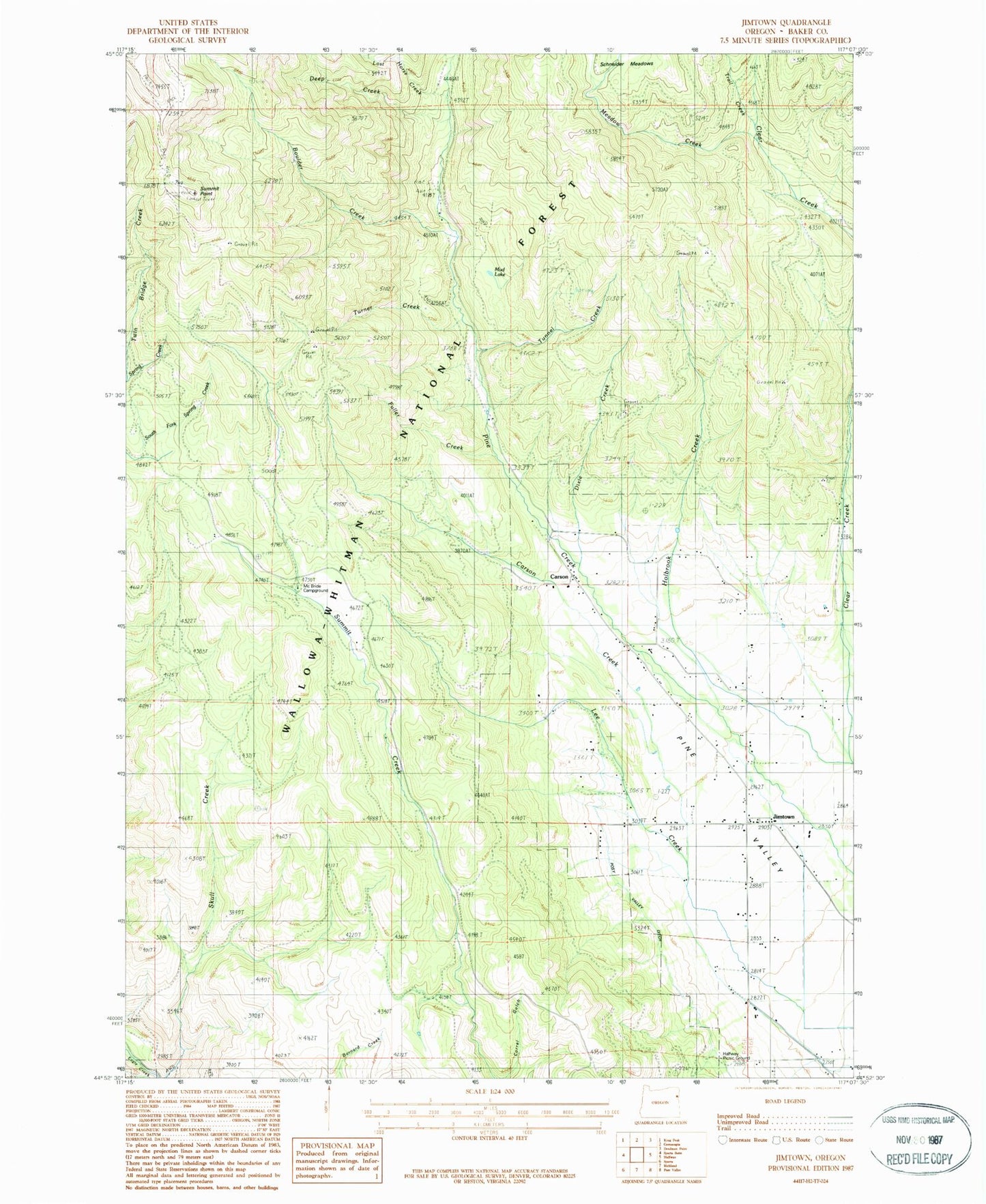
Historical USGS topographic quad map of Jimtown in the state of Oregon. Map scale may vary for some years, but is generally around 1:24,000. Print size is approximately 24" x 27"
This quadrangle is in the following counties: Baker.
The map contains contour lines, roads, rivers, towns, and lakes. Printed on high-quality waterproof paper with UV fade-resistant inks, and shipped rolled.
Contains the following named places: Boulder Creek, Brooks Ditch, Carson, Carson Creek, Carson Post Office, Deep Creek, Dixie Creek, Fall Creek, Foothill Ditch, Fuller Creek, Halfway Recreation Site, Holbrook Creek, Jimtown, Lost Horse Creek, McBride Guard Station, McBride Recreation Site, McKinnon Creek, Meadow Creek, Mining Channel, Motley Reservoir, Mud Lake, Summit Point, Summit Point Trailhead, Trail Creek, Tunnel Creek, Turner Creek, ZIP Code: 97834