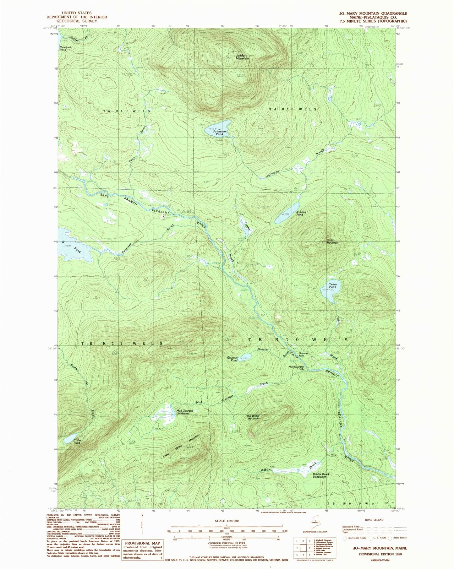
MyTopo
Classic USGS Jo-Mary Mountain Maine 7.5'x7.5' Topo Map
Couldn't load pickup availability
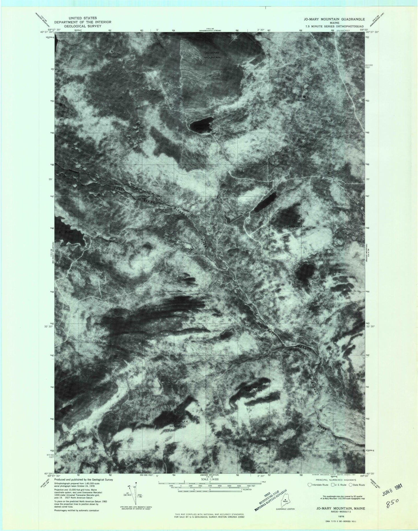
Historical USGS topographic quad map of Jo-Mary Mountain in the state of Maine. Map scale may vary for some years, but is generally around 1:24,000. Print size is approximately 24" x 27"
This quadrangle is in the following counties: Piscataquis.
The map contains contour lines, roads, rivers, towns, and lakes. Printed on high-quality waterproof paper with UV fade-resistant inks, and shipped rolled.
Contains the following named places: Babble Brook, Babble Brook Deadwater, Big Wilkie Mountain, Brice Brook, Cedar Brook, Cedar Mountain, Cedar Pond, Crater Pond, Gauntlet Brook, Gauntlet Falls, Gauntlet Pond, Guernsey Brook, Johnston Pond, Jo-Mary Mountain, Jo-Mary Pond, Little Wilkie Mountain, Mud Gauntlet Brook, Mud Gauntlet Deadwater, Mud Gauntlet Falls, TB R10 WELS, Trestle Brook