MyTopo
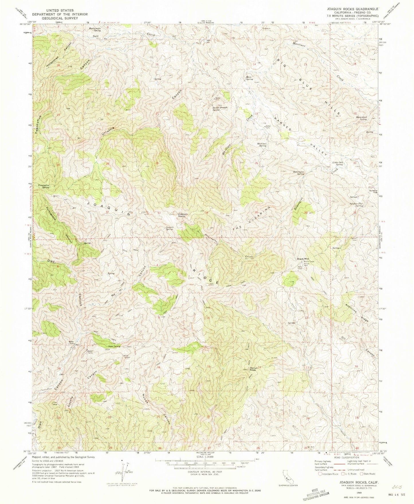
Classic USGS Joaquin Rocks California 7.5'x7.5' Topo Map
Couldn't load pickup availability
Historical USGS topographic quad map of Joaquin Rocks in the state of California. Map scale may vary for some years, but is generally around 1:24,000. Print size is approximately 24" x 27"
This quadrangle is in the following counties: Fresno.
The map contains contour lines, roads, rivers, towns, and lakes. Printed on high-quality waterproof paper with UV fade-resistant inks, and shipped rolled.
Contains the following named places: Anticline Ridge, Black Mountain, Domengine Spring, Donut Rock, Double Trough Spring, Homestead Spring, Horsethief Canyon, Joaquin Rocks, Joaquin Spring, KWEW-TV (Coalinga), Little Oak Spring, Mare Spring, Martinez Spring, Nehi Canyon, Portuguese Canyon, Rattlesnake Spring, Sulphur Flat Spring, The Clearing, Twentyfive Canyon, Urruttia Canyon, Zalba Spring