MyTopo
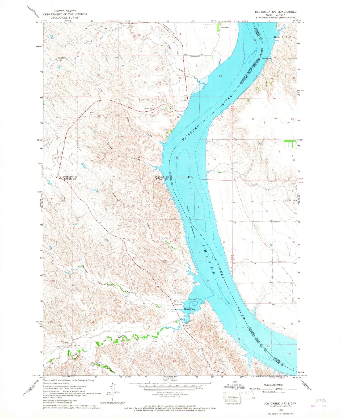
Classic USGS Joe Creek NW South Dakota 7.5'x7.5' Topo Map
Couldn't load pickup availability
Historical USGS topographic quad map of Joe Creek NW in the state of South Dakota. Map scale may vary for some years, but is generally around 1:24,000. Print size is approximately 24" x 27"
This quadrangle is in the following counties: Hughes, Lyman, Stanley.
The map contains contour lines, roads, rivers, towns, and lakes. Printed on high-quality waterproof paper with UV fade-resistant inks, and shipped rolled.
Contains the following named places: Cedar Creek, Cedar Creek Island, Cedar Creek Recreation Area, Clark Ranch, Dorion Island, First Creek, Fort au Cedras, Holy Faith Cemetery, Julius Creek, Lake Sharpe, LaRoche Creek, LaRoche School, Loisels Post, Second Creek, South Fork Cedar Creek, Straight Creek, Three Sisters Islands