MyTopo
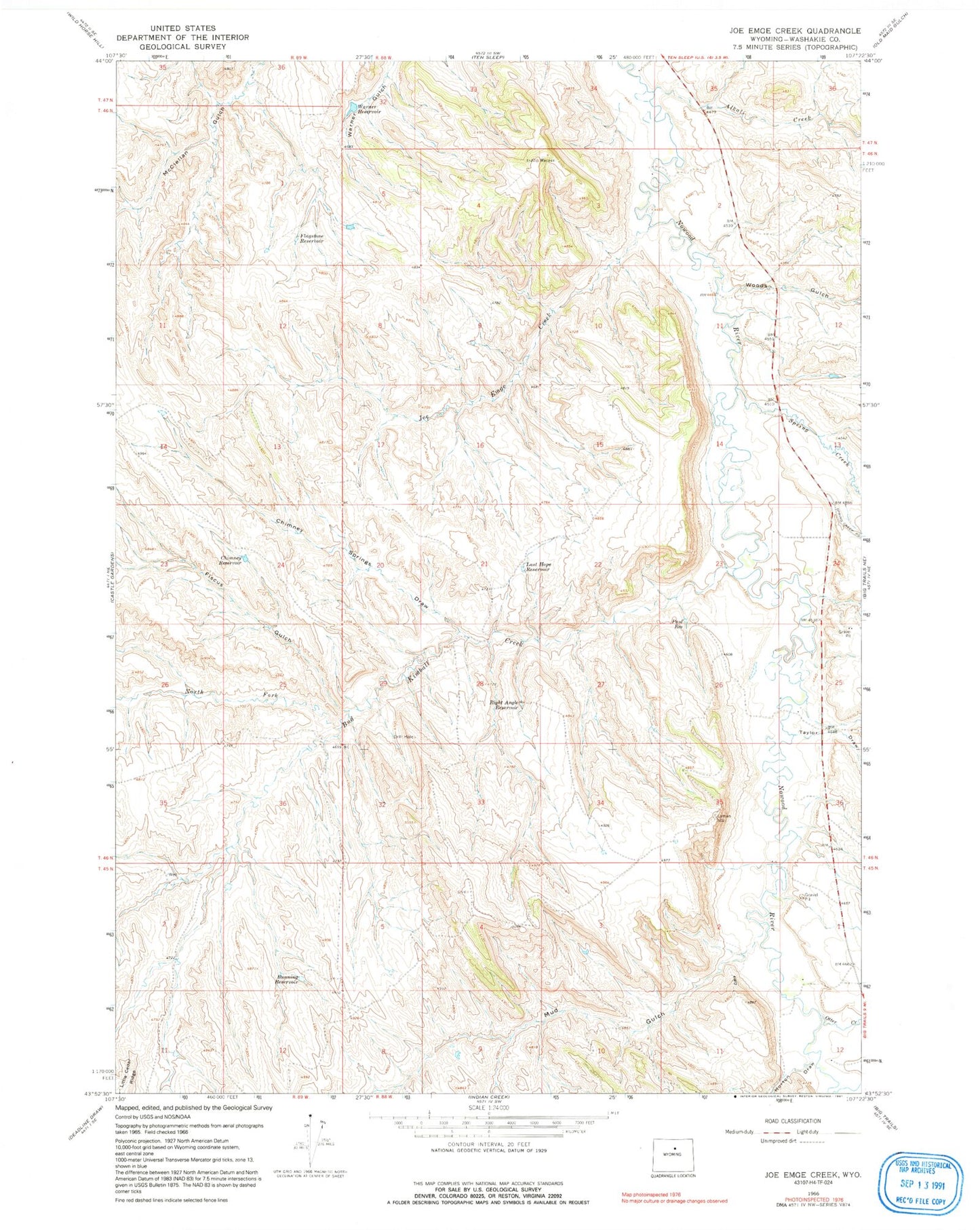
Classic USGS Joe Emge Creek Wyoming 7.5'x7.5' Topo Map
Couldn't load pickup availability
Historical USGS topographic quad map of Joe Emge Creek in the state of Wyoming. Map scale may vary for some years, but is generally around 1:24,000. Print size is approximately 24" x 27"
This quadrangle is in the following counties: Washakie.
The map contains contour lines, roads, rivers, towns, and lakes. Printed on high-quality waterproof paper with UV fade-resistant inks, and shipped rolled.
Contains the following named places: Alkali Creek, Bud Kimball Creek, Bud Kimball Creek Mine, Bunning Reservoir, Chimney Reservoir, Chimney Springs Draw, Dugout Creek Deposit, Extended Breer Number Two Mine, Fiscus Gulch, Flagstone Reservoir, Horton Draw, Joe Emge Creek, Last Hope Reservoir, Mud Gulch, North Fork Bud Kimball Creek, Otter Creek, Paul Reservoir, Red Reflet Ranch Airport, Right Angle Reservoir, Spring Creek, Taylor Draw, Warner Reservoir, Woods Gulch


