MyTopo
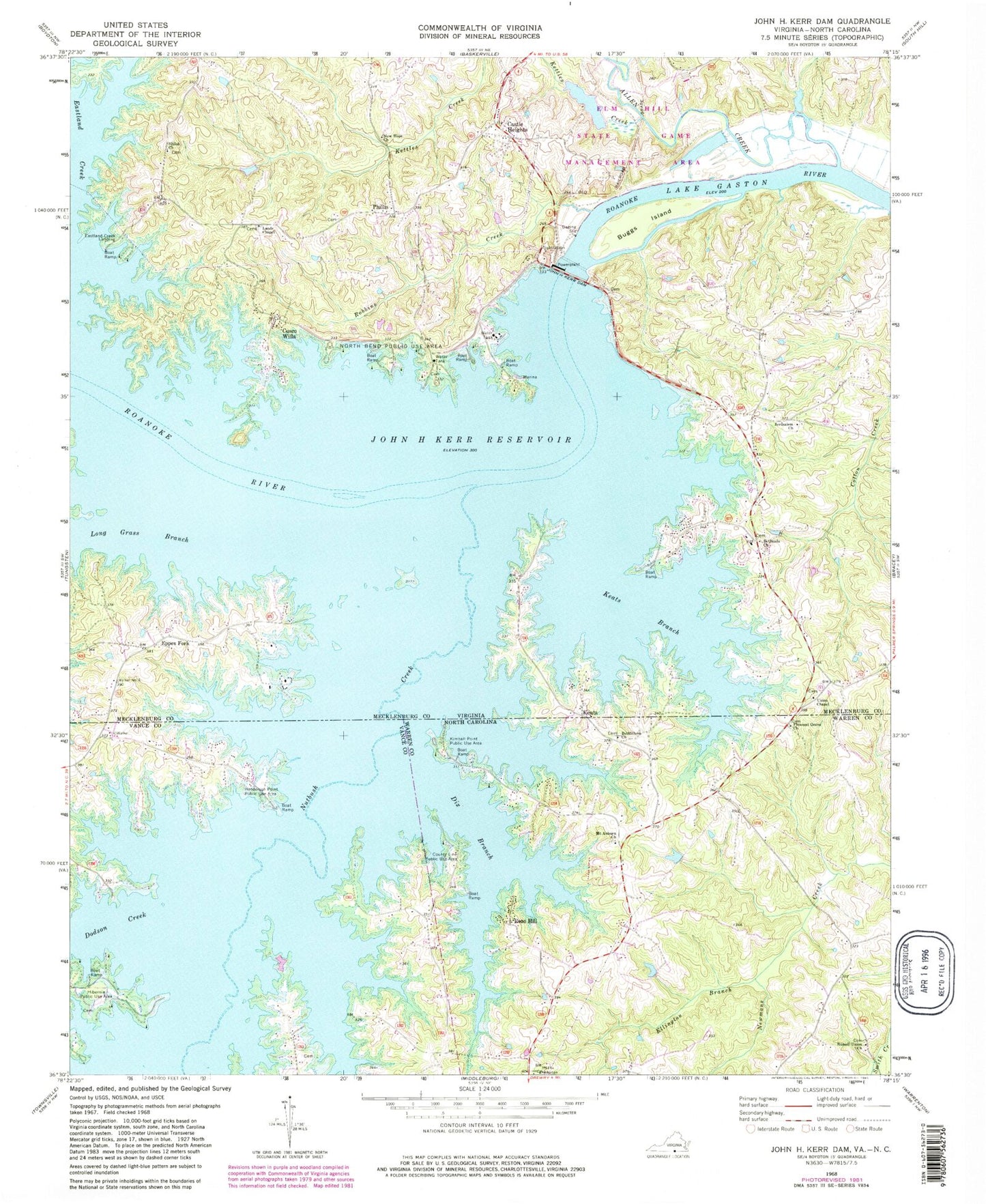
Classic USGS John H Kerr Dam Virginia 7.5'x7.5' Topo Map
Couldn't load pickup availability
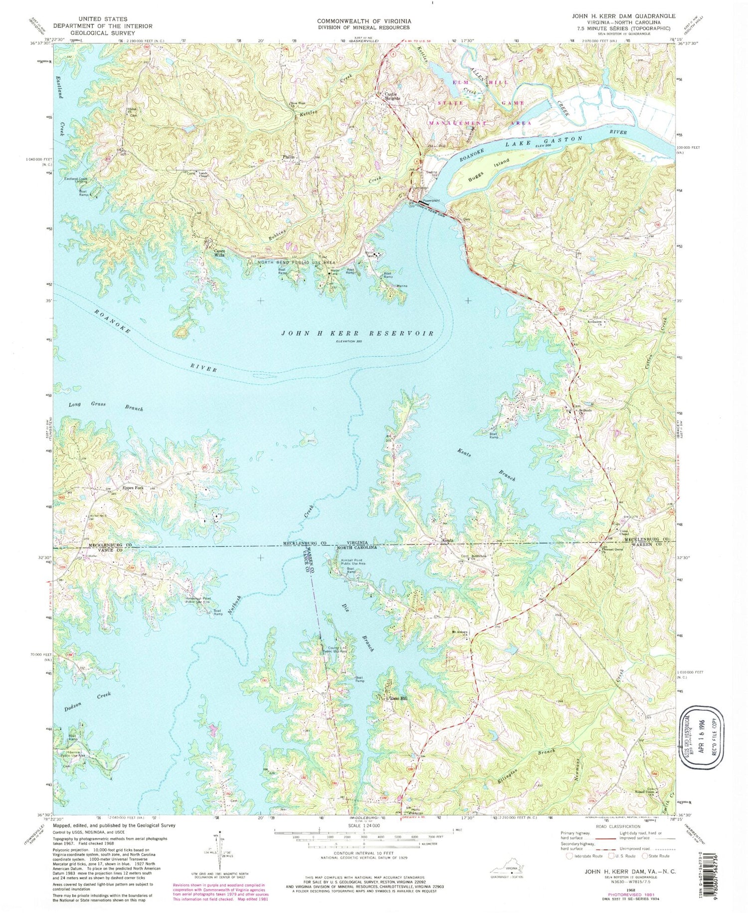
Historical USGS topographic quad map of John H Kerr Dam in the states of Virginia, North Carolina. Typical map scale is 1:24,000, but may vary for certain years, if available. Print size: 24" x 27"
This quadrangle is in the following counties: Mecklenburg, Vance, Warren.
The map contains contour lines, roads, rivers, towns, and lakes. Printed on high-quality waterproof paper with UV fade-resistant inks, and shipped rolled.
Contains the following named places: Allen Creek, Bethesda Church, Buggs Island, Cox Creek, Eastland Creek, Elm Hill State Game Management Area, Jerusalem Church, Kettles Creek, Lands Chapel, Long Grass Branch, New Hope Church, North Bend Public Use Area, Nutbush Creek, Robbins Creek, Shiloh Church, Union Chapel, Cusco Willa, Phillis, Hundley Dam, Hundley Pond, Palmer Point Marina, Castle Heights, Eastland Creek Landing, Eppes Fork, John H Kerr Dam, Keats, Antioch School (historical), Aurora Park, Bethesda Cemetery, Elm Hill Plantation, Gilligans Island, Haskins Ferry (historical), Haskinton (historical), John B Boyd Memorial School (historical), Keats Peninsula, Keats School (historical), Kerr Dam Overlook, Kerr Reservoir Management Center, Kerse Branch, Long Grass Plantation, North Bend (historical), North Bend Park Marina, Palmer Point Park, Palmer Springs School (historical), Presbyterian Point, Roberts Ferry (historical), Shiloh Cemetery, Shiloh School (historical), Tailrace Park, Union Chapel Cemetery, Whits Point, Wilson Fork, John H. Kerr Reservoir, Palmer Springs Census Designated Place, Bethlehem Church, County Line Public Use Area, Dix Branch, Dodson Creek, Ellington Branch, Henderson Point Public Use Area, Hibernia Public Use Area, Keats Branch, Kimball Point Public Use Area, Long Grass Branch, Mount Auburn Church, Nutbush Creek, Pleasant Grove Church, Russell Union Church, Newman (historical), Rose Hill


