MyTopo
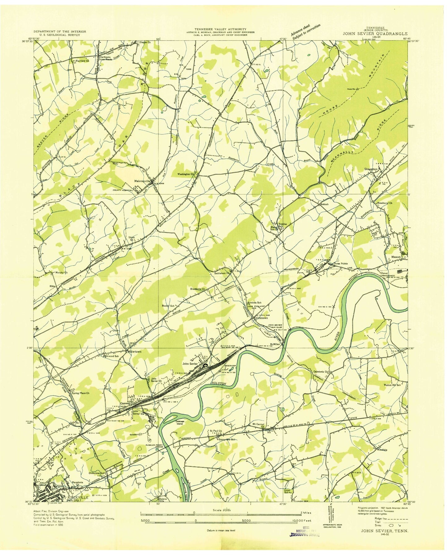
Classic USGS John Sevier Tennessee 7.5'x7.5' Topo Map
Couldn't load pickup availability
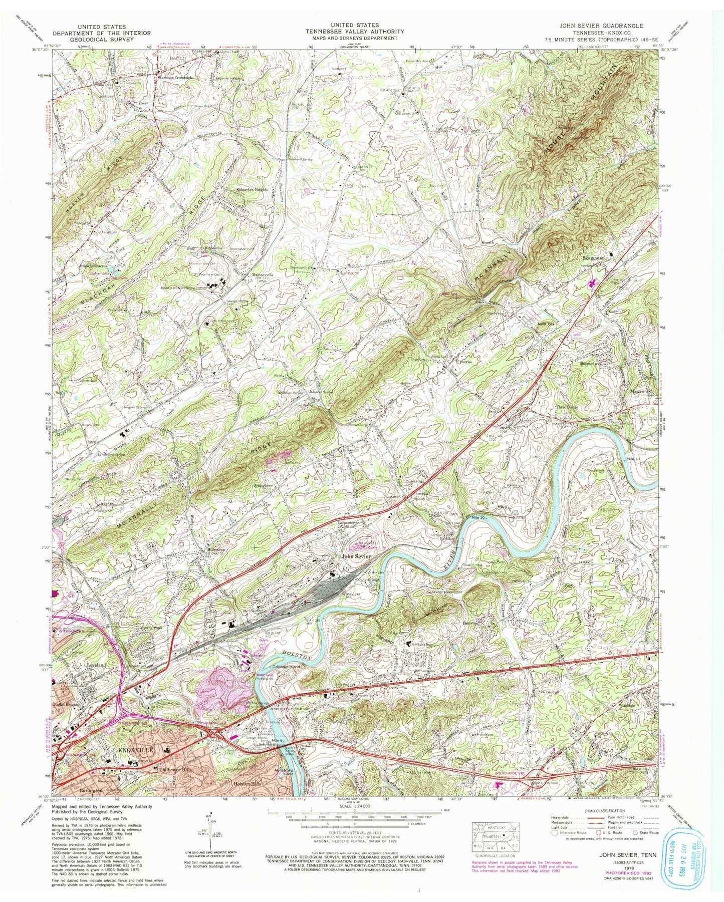
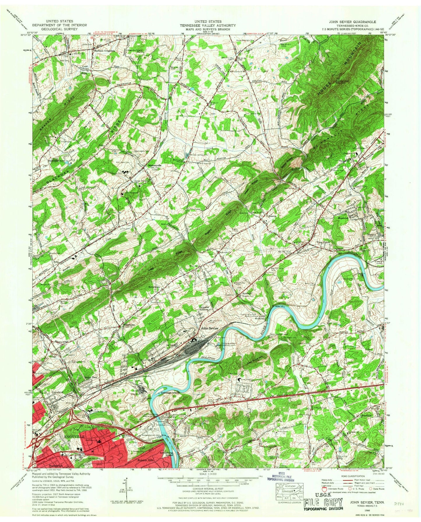
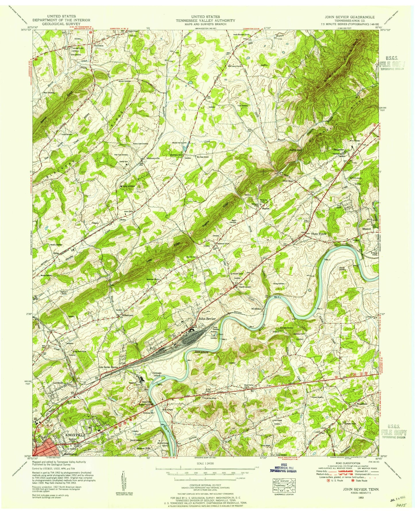
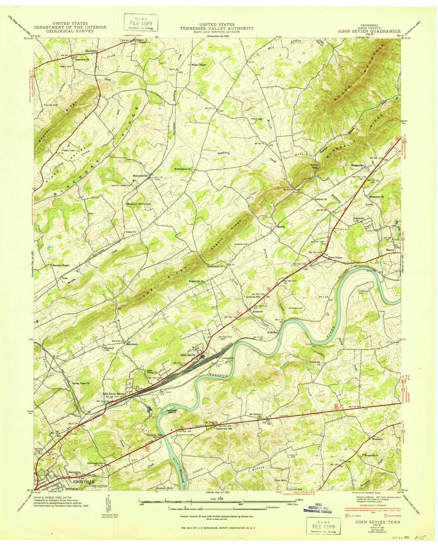
Historical USGS topographic quad map of John Sevier in the state of Tennessee. Map scale may vary for some years, but is generally around 1:24,000. Print size is approximately 24" x 27"
This quadrangle is in the following counties: Knox.
The map contains contour lines, roads, rivers, towns, and lakes. Printed on high-quality waterproof paper with UV fade-resistant inks, and shipped rolled.
Contains the following named places: Antioch, Antioch Methodist Church, Arminda, Arminda School, Armstrong Cemetery, Armstrong Island, Armstrongs Ford, Bair Cemetery, Bell Avenue Church, Bethlehem United Methodist Church, Biagiotti Cemetery, Booker School, Bounds Cemetery, Branville Church, Brookfield Acres, Burlington Post Office, Burroughs Cemetery, Cabbage Island, Caledonia Church, Cardwell Cemetery, Cardwell Spring, Carpenter Addition, Carter Cemetery, Caswell, Chilhowee Hills, Chilhowee Intermediate School, Clapps Chapel United Methodist Church, Cobbs Cemetery, Commissioner District 8, Craigheads Shoals, Crawford Spring, Croft Cemetery, Cruze Spring, Double Fish Trap Shoals, Duggan Spring, East Knox County Elementary School, East Sunnyview Church, East Towne Mall Shopping Center, Eastwood, Elmwood School, England-Legg Cemetery, Fairview Church, Fawver Creek, Fulton Gap, Gibbs Division, Gilead Church, Happy Acres, Harbison Crossroads, Highland Church, Highpoint, Hillcrest Medical Nursing Institute, Hogskin Branch, Holston Middle School, Holston Mobile Home Park, Hopewell Cemetery, Hopewell United Methodist Church, House Mountain, House Mountain Church, Huckleberry Springs Branch, Inman Branch, J Will Taylor Bridge, Jackson Cemetery, James Edward Burke Bridge, John Pratt Hill, John Sevier, John Sevier Baptist Church, John Sevier Census Designated Place, John Sevier School, John Sevier Station, Kerns Branch, Kings Valley, Knox County Farm, Knox County Penal Farm, Knoxville - Loves Creek Sewage Treatment Plant, Knoxville Fire Department Chilhowee - Holston Hills Fire Station 16, Legg Creek, Link Spring, Love Creek, Loveland, Loveland Baptist Church, Luttrell Cemetery, Mac Cash Branch, Macedonia United Methodist Church, Major Cemetery, Maloneyville, Mascot Census Designated Place, Mathews Spring, Mayo, McAnnally Ridge, McMillan, McMillan Spring, Meadowlawn Cemetery, Mile Branch, Mill Lake, Miller Chapel, Millertown, Miracle Church, Molly Branch, Mount Carmel Church, Mountain View Cemetery, Murphy Cemetery, Murphy Chapel, Netherland Heights Spring, New Hope Church, New Liberty Church, North Acres Church, Old Poor Farm Cemetery, Peoples Church, Plantation Acres Mobile Home Park, Plumlee Cemetery, Poplar View Landfill, Pratt Cemetery, Pratt Chapel, Ralph Adcock Bridge, Ridgeview Heights, Ridgeview Heights Church, Rising Sun Methodist Church, Rising Sun School, Ritta, Ritta Elementary School, Rogers Cemetery, Roseberry Church, Roseberry Creek, Ruggles Ferry, Ruggles Ferry Bridge, Rural - Metro Fire Department Station 34, Rural Metro Fire Department Knox County Station 25, Saint James Church, Saint Paul United Methodist Church, Sentertown, Sentertown Missionary Baptist Church, Shell Cemetery, Sherrod Cemetery, Shipe Cemetery, Shipetown, Sinking Creek, Skaggston, Skaggston School, South Fork Beaver Creek, Spring Hill Elementary, Spring Place, Spring Place Church, Springhill Baptist Church, Strong Cemetery, Strong Creek, Sunnyview Elementary School, Sunnyview School, Sunrise, Three Points, Three Points Baptist Church, Tindell Cemetery, Trout Cemetery, Turley Cemetery, Union Cemetery, Union Church, Union School, Vandergrift Spring, Volunteer Park, Walnut Hill School, Washington Church, Wise Spring, Wooddale, Wooddale Church, Woods Creek, ZIP Codes: 37721, 37924
