MyTopo
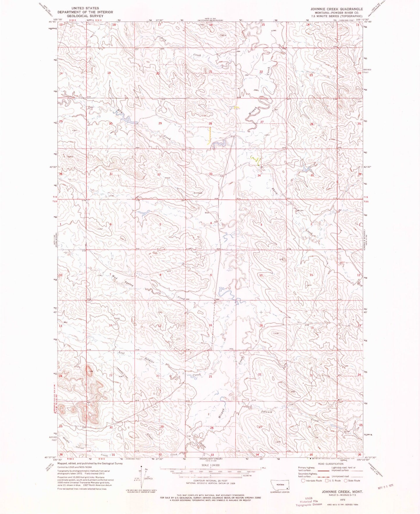
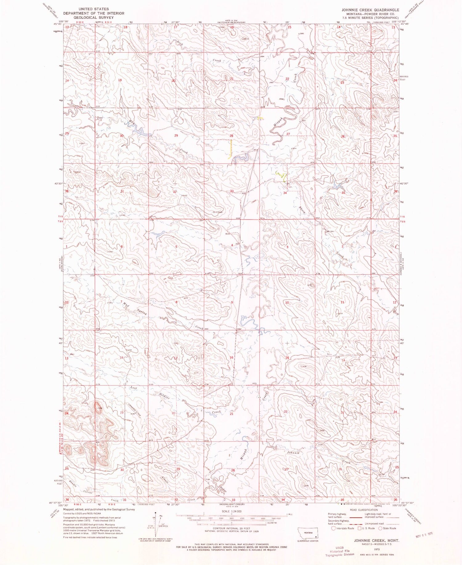
Classic USGS Johnnie Creek Montana 7.5'x7.5' Topo Map
Couldn't load pickup availability
Historical USGS topographic quad map of Johnnie Creek in the state of Montana. Map scale may vary for some years, but is generally around 1:24,000. Print size is approximately 24" x 27"
This quadrangle is in the following counties: Powder River.
The map contains contour lines, roads, rivers, towns, and lakes. Printed on high-quality waterproof paper with UV fade-resistant inks, and shipped rolled.
Contains the following named places: 01S51E15DBDA01 Well, 01S51E20DAAA01 Well, 01S51E22CBBD01 Well, 01S51E23CACC01 Well, 01S51E27ACAA01 Well, 01S51E27BBCC01 Well, 01S51E34ABCC01 Well, 02S51E18ABCC01 Well, 02S51E21ACBB01 Well, 02S51E29DABA01 Well, 59343, A Irion Number 1 Dam, Alkali Creek, Dick Creek, Hay Creek, Hudson Creek, J Janssen Number 1 Dam, Johnnie Creek, Lost Soldier Creek, Mud Spring Creek, Nest Creek, Russiff Number 1 Dam, Sheep Creek