MyTopo
Classic USGS Johns Island Maine 7.5'x7.5' Topo Map
Couldn't load pickup availability
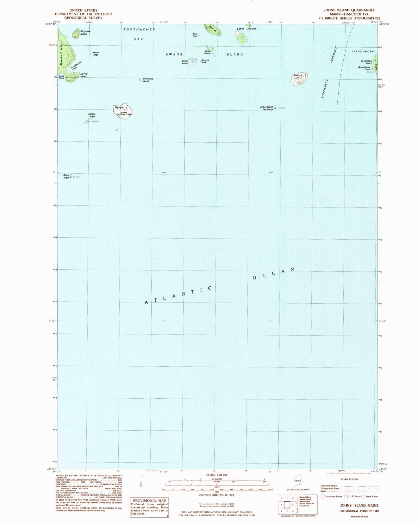
Historical USGS topographic quad map of Johns Island in the state of Maine. Map scale may vary for some years, but is generally around 1:24,000. Print size is approximately 24" x 27"
This quadrangle is in the following counties: Hancock, Knox.
The map contains contour lines, roads, rivers, towns, and lakes. Printed on high-quality waterproof paper with UV fade-resistant inks, and shipped rolled.
Contains the following named places: Baker Island, Beach Ledge, Black Ledge, Black Rock, Brimstone Island, Cod Ledge, Devils Head, Gooseberry Point, Green Island, Gunning Rock, Heron Island, Huron Island Point Ledge, Johns Island, Johns Island Dry Ledge, Johns Island Sunken Ledge, Mason Ledge, Popplestone Cove, Ringtown Island, Sally Prude Ledge, Sand Cove, Scal Ledge, Scrag Island, Yellow Ledge