MyTopo
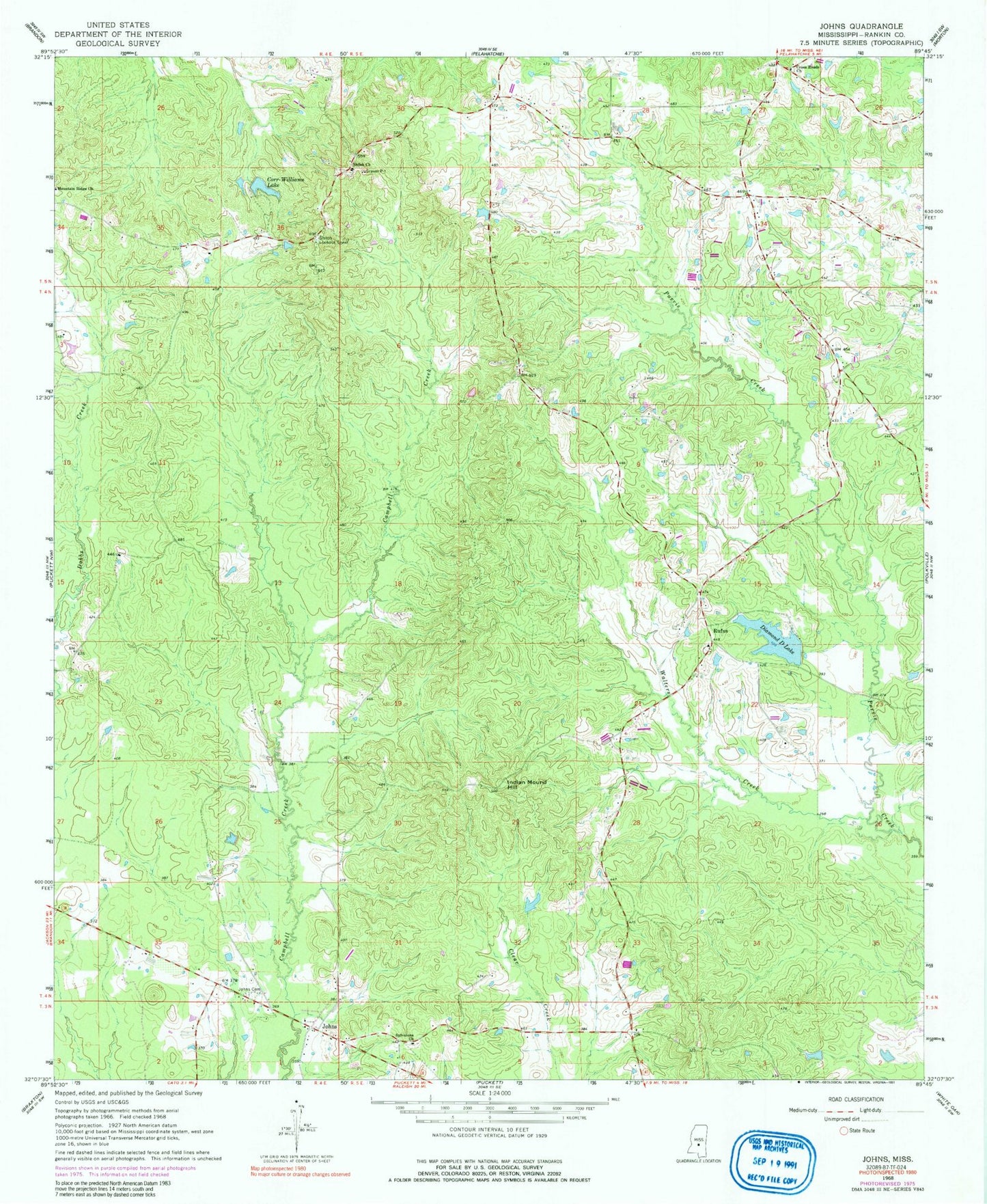
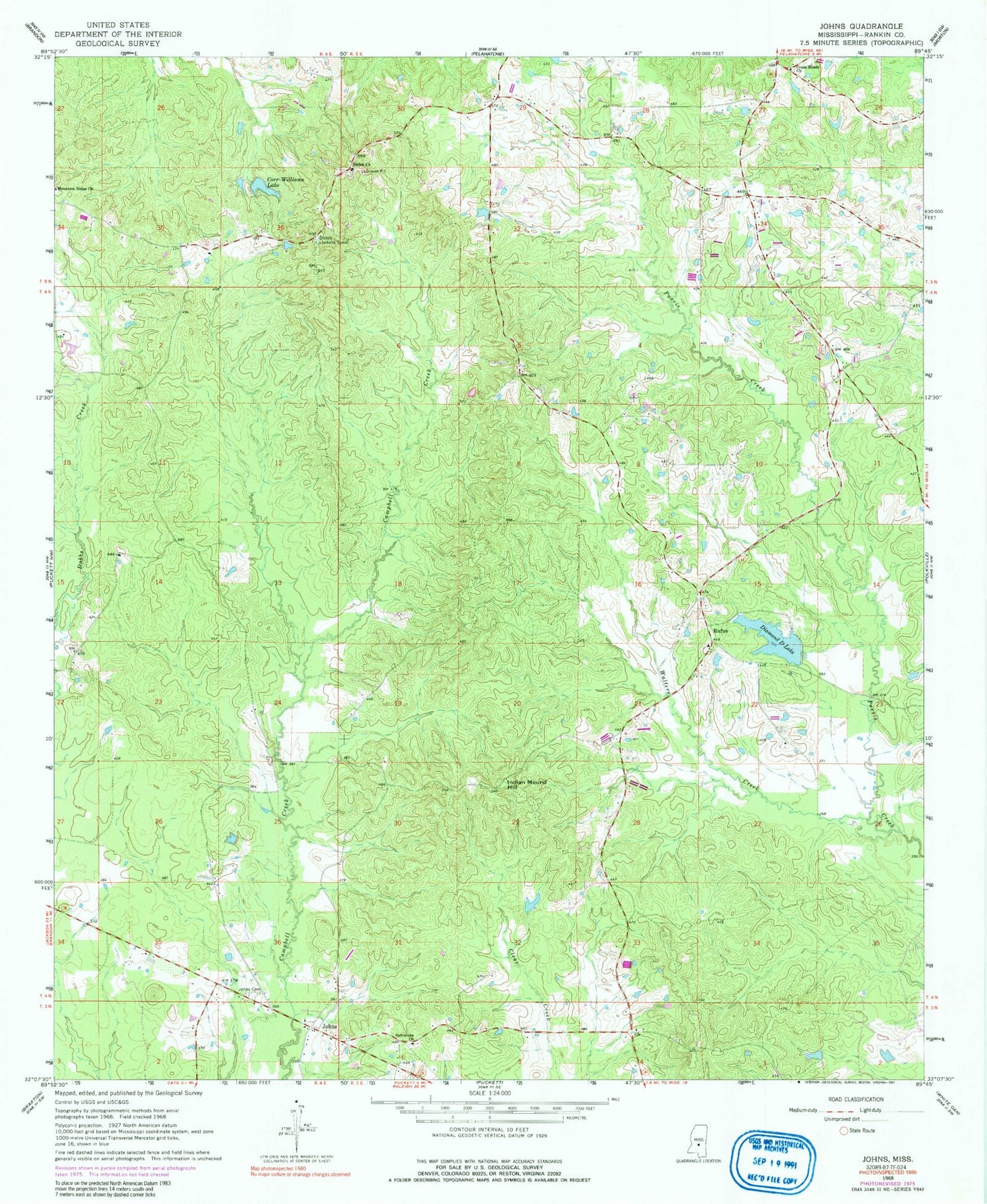
Classic USGS Johns Mississippi 7.5'x7.5' Topo Map
Couldn't load pickup availability
Historical USGS topographic quad map of Johns in the state of Mississippi. Map scale may vary for some years, but is generally around 1:24,000. Print size is approximately 24" x 27"
This quadrangle is in the following counties: Rankin.
The map contains contour lines, roads, rivers, towns, and lakes. Printed on high-quality waterproof paper with UV fade-resistant inks, and shipped rolled.
Contains the following named places: Antioch Cemetery, Antioch Church, Bafrick, Burnham, Carr-Williams Lake, Central School, Cox Lake Dam, Cross Roads, Cross Roads Church, Crossroads Cemetery, Crossroads School, Diamond D Lake, Indian Mound Hill, Johns, Johns Cemetery, Lynwood, Moseley, Mountain Ridge Church, Rocket Lake Dam, Rufus, Shady Grove School, Shermans Camp, Shiloh, Shiloh Cemetery, Shiloh Church, Shiloh Lookout Tower, Silverena Cemetery, Swore Lake Dam, Sylvarena Church, Walters Creek, Walters Volunteer Fire Department Station 1 Headquarters