MyTopo
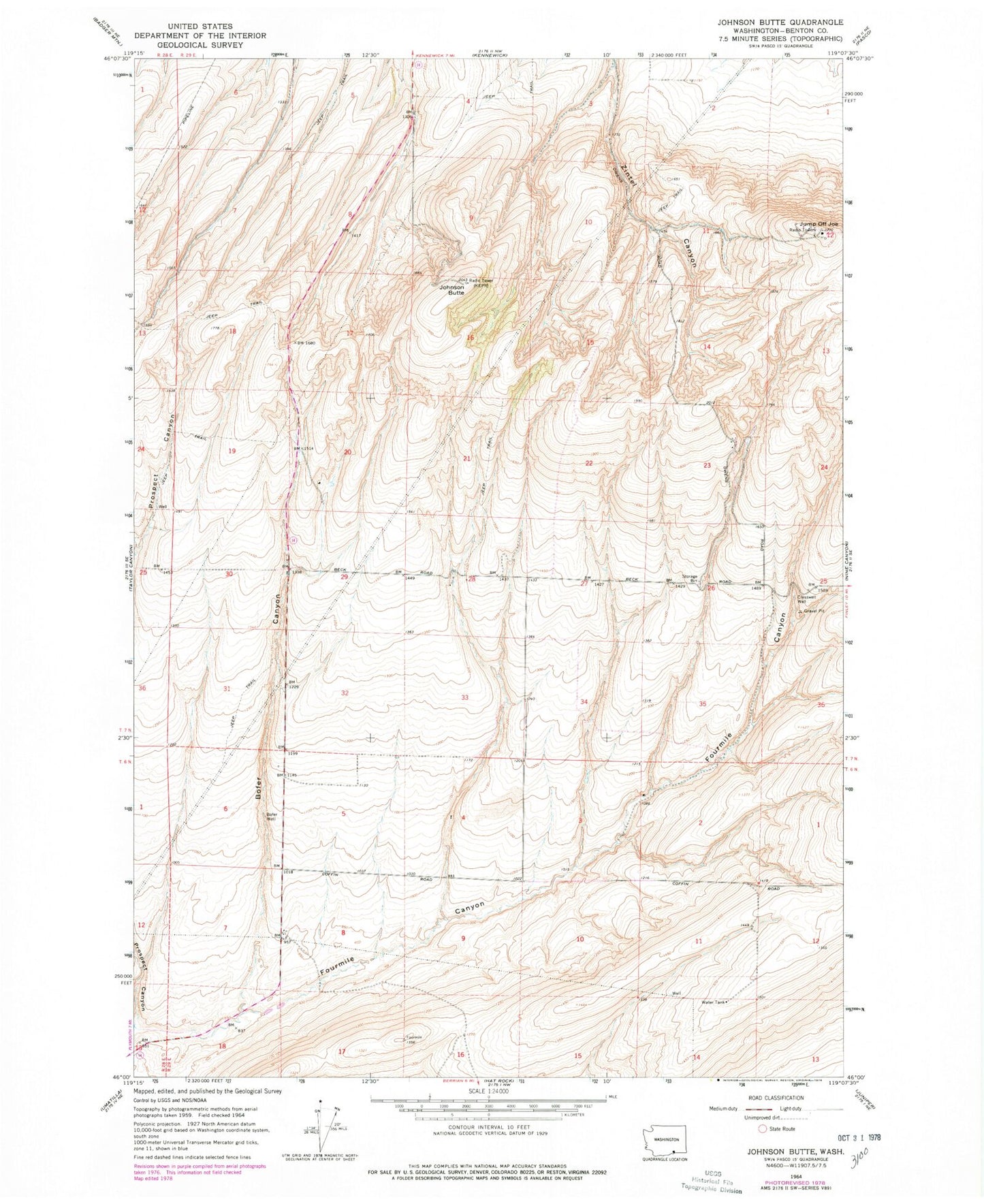
Classic USGS Johnson Butte Washington 7.5'x7.5' Topo Map
Couldn't load pickup availability
Historical USGS topographic quad map of Johnson Butte in the state of Washington. Map scale may vary for some years, but is generally around 1:24,000. Print size is approximately 24" x 27"
This quadrangle is in the following counties: Benton.
The map contains contour lines, roads, rivers, towns, and lakes. Printed on high-quality waterproof paper with UV fade-resistant inks, and shipped rolled.
Contains the following named places: Bofer Canyon, Bofer Well, Burlingame Dam, Coffin Sheep Dam, Cresswell Well, Creswell Well, Johnson Butte, Jump Off Joe, KEPR-TV (Pasco), KFAE-FM (Richland), KIOK-FM (Richland), KNDU-TV (Richland), KONA-FM (Kennewick), KORD-FM (Richland), KOTY-FM (Richland), KTNW-TV (Richland), KVEW-TV (Kennewick), Pat Owens Dam