MyTopo
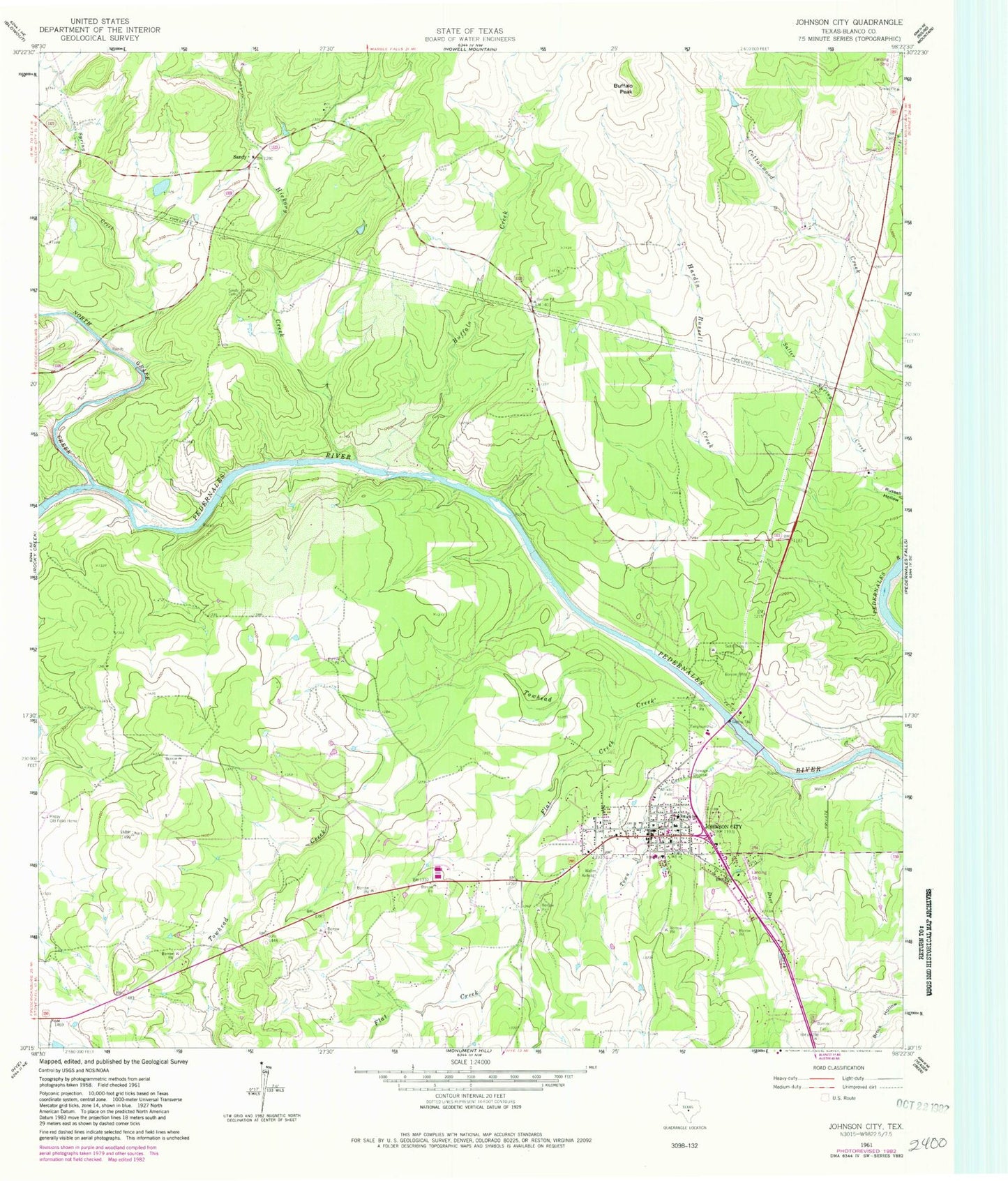
Classic USGS Johnson City Texas 7.5'x7.5' Topo Map
Couldn't load pickup availability
Historical USGS topographic quad map of Johnson City in the state of Texas. Map scale may vary for some years, but is generally around 1:24,000. Print size is approximately 24" x 27"
This quadrangle is in the following counties: Blanco.
The map contains contour lines, roads, rivers, towns, and lakes. Printed on high-quality waterproof paper with UV fade-resistant inks, and shipped rolled.
Contains the following named places: Blanco County, Blanco County Constable's Office, Blanco County Jail, Blanco County Sheriff's Office, Buffalo Creek, Buffalo Peak, Buffalo Springs, City of Johnson City, Crofts Springs, Danz Ranch Airport, Deer Creek, Flat Creek, Happy Old Folks Home, Hardin Russell Creek, Hickory Creek, Hobbs Spring, Johnson City, Johnson City City Hall, Johnson City Division, Johnson City Police Department, Johnson City Post Office, Johnson City Volunteer Fire Department, Lake Johnson City, Lake Johnson City Dam, North Blanco County Emergency Medical Services, North Grape Creek, Salter Spring Creek, Sandy, Sandy Cemetery, Spring Creek, Towhead Creek, Town Creek, ZIP Code: 78636