
MyTopo
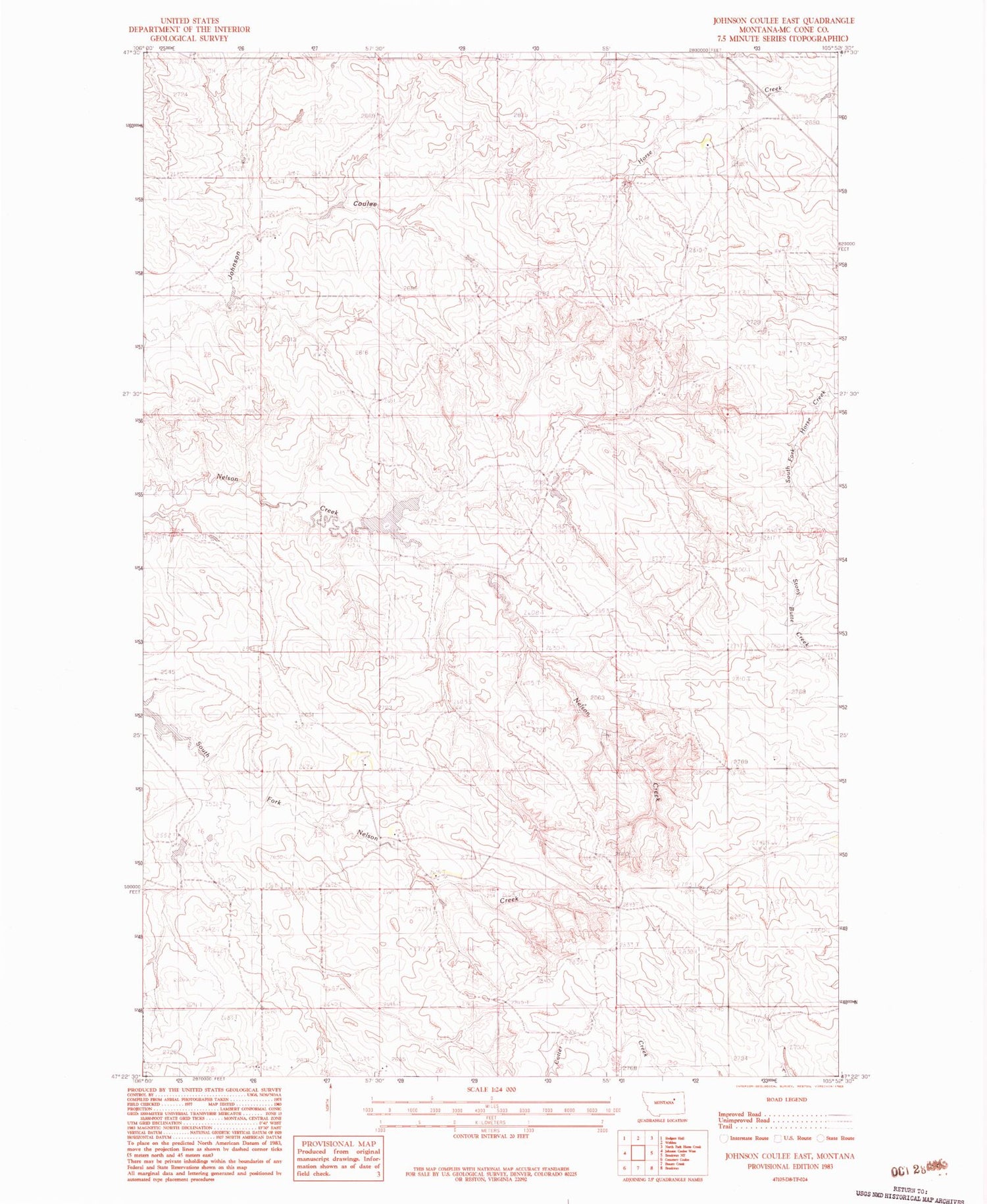
Classic USGS Johnson Coulee East Montana 7.5'x7.5' Topo Map
Couldn't load pickup availability
Historical USGS topographic quad map of Johnson Coulee East in the state of Montana. Map scale may vary for some years, but is generally around 1:24,000. Print size is approximately 24" x 27"
This quadrangle is in the following counties: McCone.
The map contains contour lines, roads, rivers, towns, and lakes. Printed on high-quality waterproof paper with UV fade-resistant inks, and shipped rolled.
Contains the following named places: 19N45E04ABBA01 Well, 19N45E09DCCD01 Well, 19N45E10DDCA01 Well, 19N45E11ACCD01 Well, 19N45E16ABAB01 Well, 19N45E22BBAC01 Well, 19N46E08ACDA01 Well, 19N46E08CDAC01 Well, 19N46E08CDDB01 Well, 19N46E17ADBD01 Well, 19N46E29CAAA01 Well, 20N45E10DCCD01 Well, 20N45E22BCCA01 Well, 20N45E22DACC01 Well, 20N45E27ACCC01 Well, 20N45E28BABD01 Well, 20N45E34CAAB01 Well, 20N45E35DAAB01 Well, 20N46E19BBAC01 Well, 20N46E20CADA01 Well, L Quick Dam, Murphy and Sons Number 2 Dam, Murphy Number 1 Dam, Nelson Creek Post Office, Waller Dam


