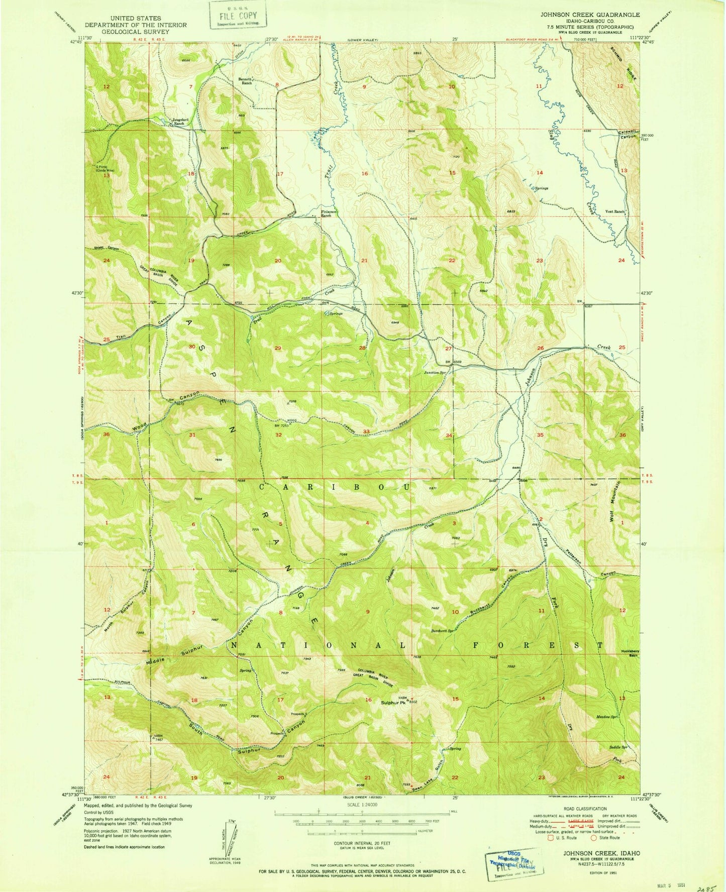
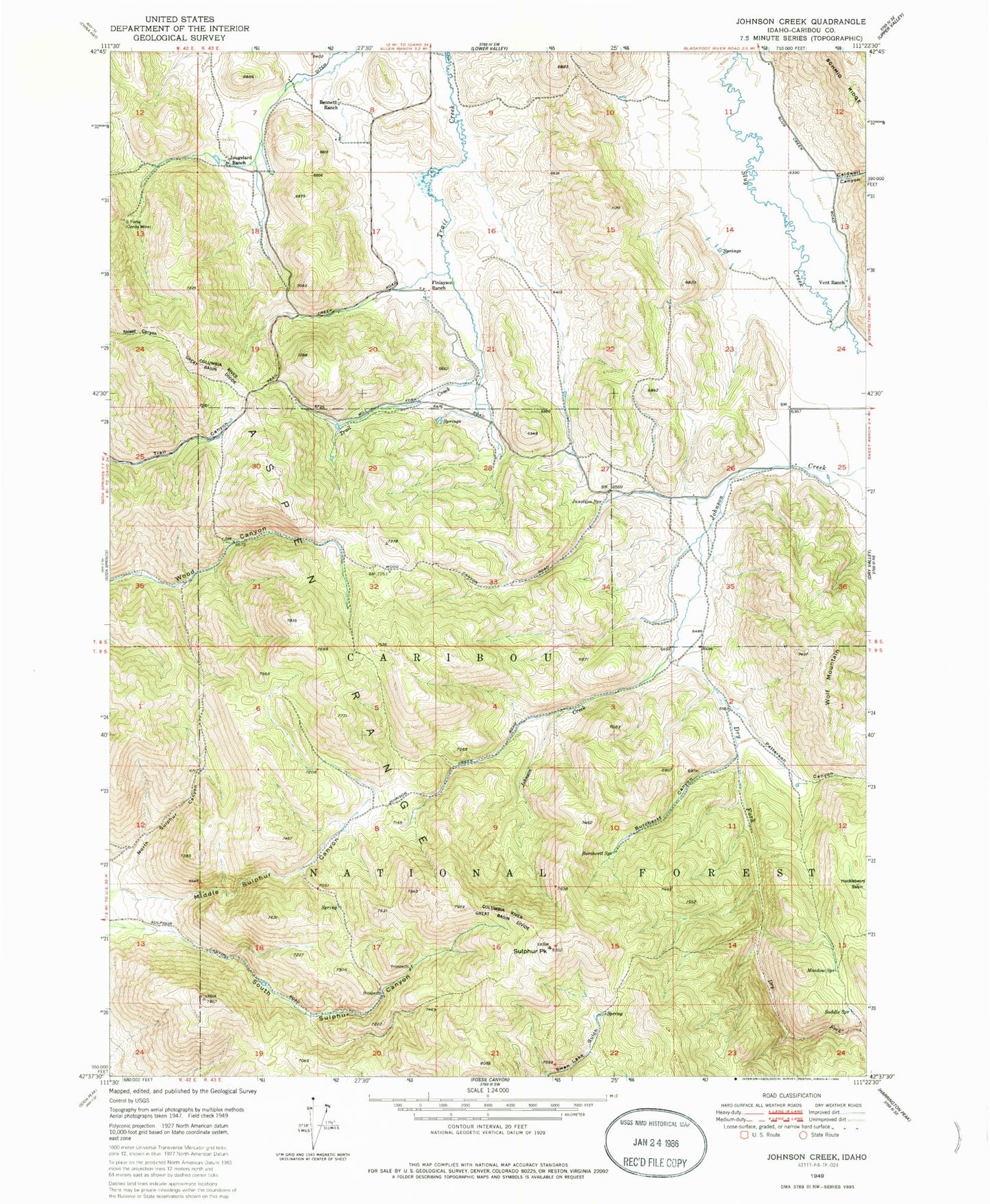
MyTopo
Classic USGS Johnson Creek Idaho 7.5'x7.5' Topo Map
Couldn't load pickup availability
Historical USGS topographic quad map of Johnson Creek in the state of Idaho. Map scale may vary for some years, but is generally around 1:24,000. Print size is approximately 24" x 27"
This quadrangle is in the following counties: Caribou.
The map contains contour lines, roads, rivers, towns, and lakes. Printed on high-quality waterproof paper with UV fade-resistant inks, and shipped rolled.
Contains the following named places: Bennett Ranch, Burchertt Canyon, Burchertt Spring, Caldwell Canyon, Caribou National Forest, Columbia River Great Basin Divide, Dry Fork, Finlayson Ranch, G Portal, Jougelard Ranch, Junction Spring, Meadow Spring, Petterson Canyon, Saddle Spring, Simplot Number Six Tailings Dam, Sulphur Peak, Vent Ranch, Wolf Mountain