
MyTopo
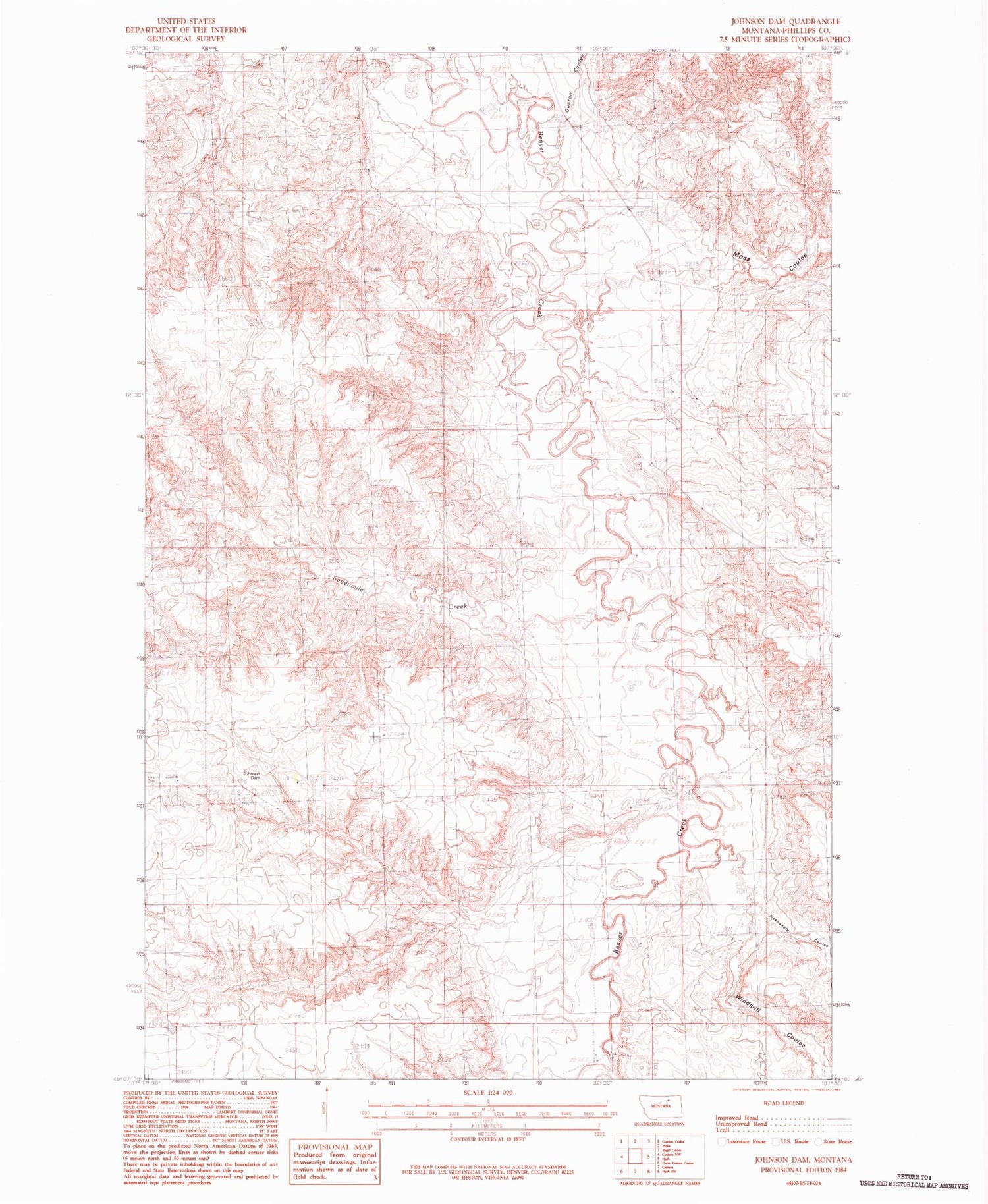
Classic USGS Johnson Dam Montana 7.5'x7.5' Topo Map
Regular price
$16.95
Regular price
Sale price
$16.95
Unit price
per
Couldn't load pickup availability
Historical USGS topographic quad map of Johnson Dam in the state of Montana. Map scale may vary for some years, but is generally around 1:24,000. Print size is approximately 24" x 27"
This quadrangle is in the following counties: Phillips.
The map contains contour lines, roads, rivers, towns, and lakes. Printed on high-quality waterproof paper with UV fade-resistant inks, and shipped rolled.
Contains the following named places: Buddy Holly Dam, Cottonwood Creek, Guston Coulee, Harb Post Office, Johnson Dam, Martin Number 1 Dam, Moss Coulee, Pickhandle Coulee, Sevenmile Creek, West Harb School, Windmill Coulee


