MyTopo
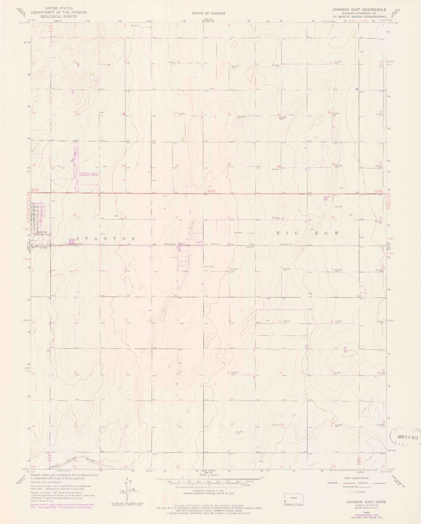
Classic USGS Johnson East Kansas 7.5'x7.5' Topo Map
Couldn't load pickup availability
Historical USGS topographic quad map of Johnson East in the state of Kansas. Map scale may vary for some years, but is generally around 1:24,000. Print size is approximately 24" x 27"
This quadrangle is in the following counties: Stanton.
The map contains contour lines, roads, rivers, towns, and lakes. Printed on high-quality waterproof paper with UV fade-resistant inks, and shipped rolled.
Contains the following named places: City of Johnson City, Fields Memorial Wesleyan Church, Johnson City Wastewater Plant, Julian, Saint Bernadette Catholic Church, Stanton County Fairgrounds, Stanton County Jail, Stanton County Municipal Airport, Stanton County Museum, Stanton County Prairie Pines, Stanton County Public Library, Stanton County Senior Center, Stanton County Sheriff's Office, ZIP Code: 67855