MyTopo
Classic USGS Johnson Heights Oregon 7.5'x7.5' Topo Map
Regular price
$16.95
Regular price
Sale price
$16.95
Unit price
per
Couldn't load pickup availability
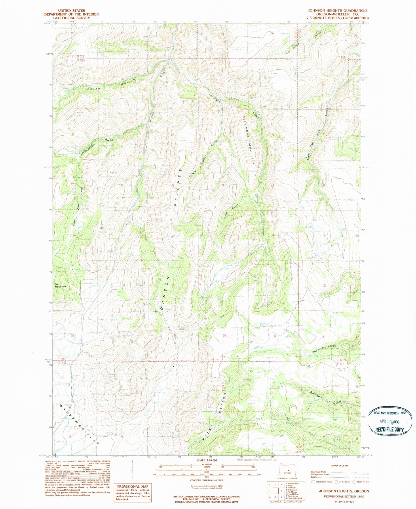
Historical USGS topographic quad map of Johnson Heights in the state of Oregon. Map scale may vary for some years, but is generally around 1:24,000. Print size is approximately 24" x 27"
This quadrangle is in the following counties: Wheeler.
The map contains contour lines, roads, rivers, towns, and lakes. Printed on high-quality waterproof paper with UV fade-resistant inks, and shipped rolled.
Contains the following named places: Happy Camp Creek, Hardscrabble Creek, Indian Hollow, Johnson Heights, Smith Hollow, Steamboat Mountain, Straube Creek, Tamarack Creek, Wolf Creek, Yellow Jacket Creek