MyTopo
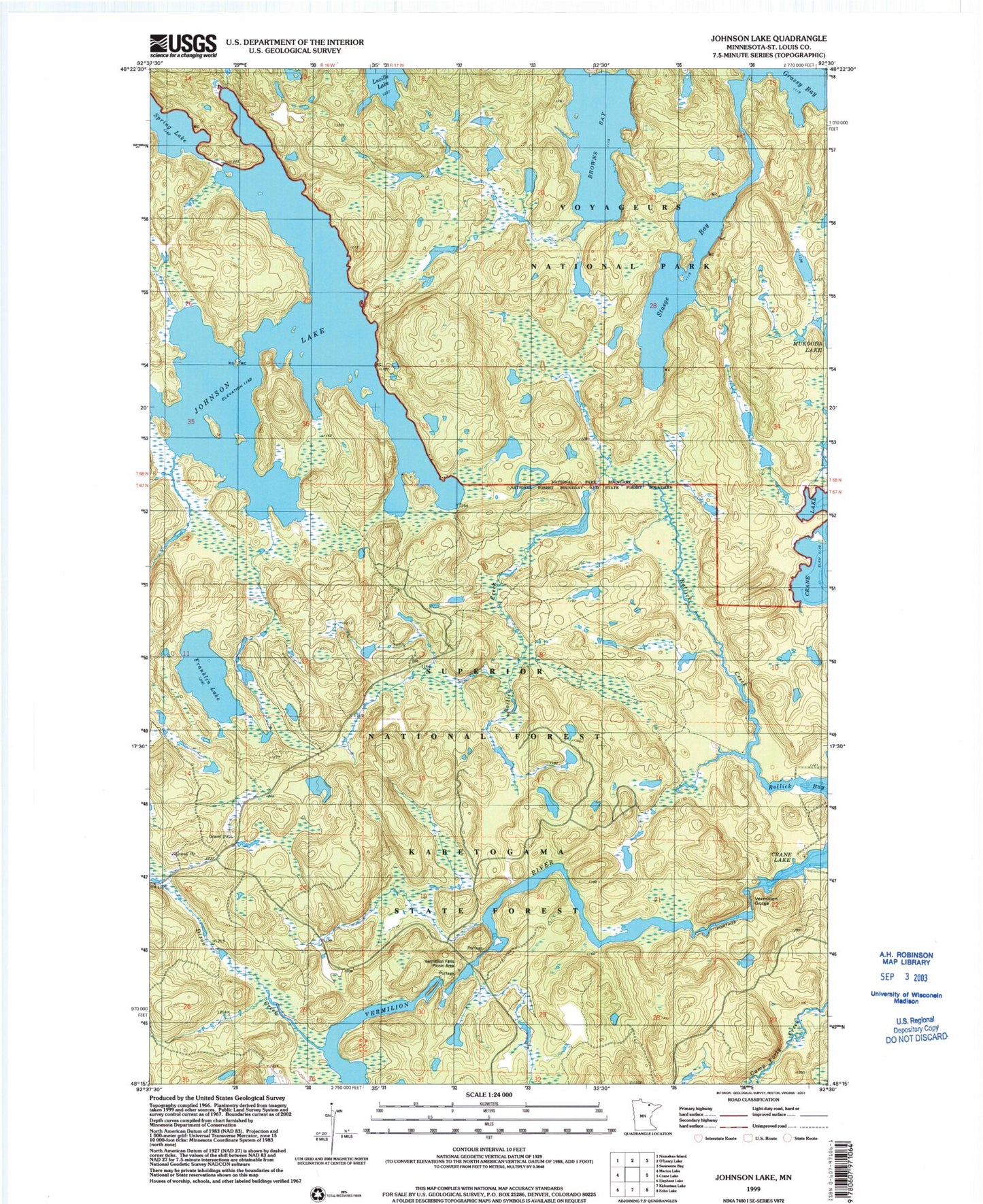
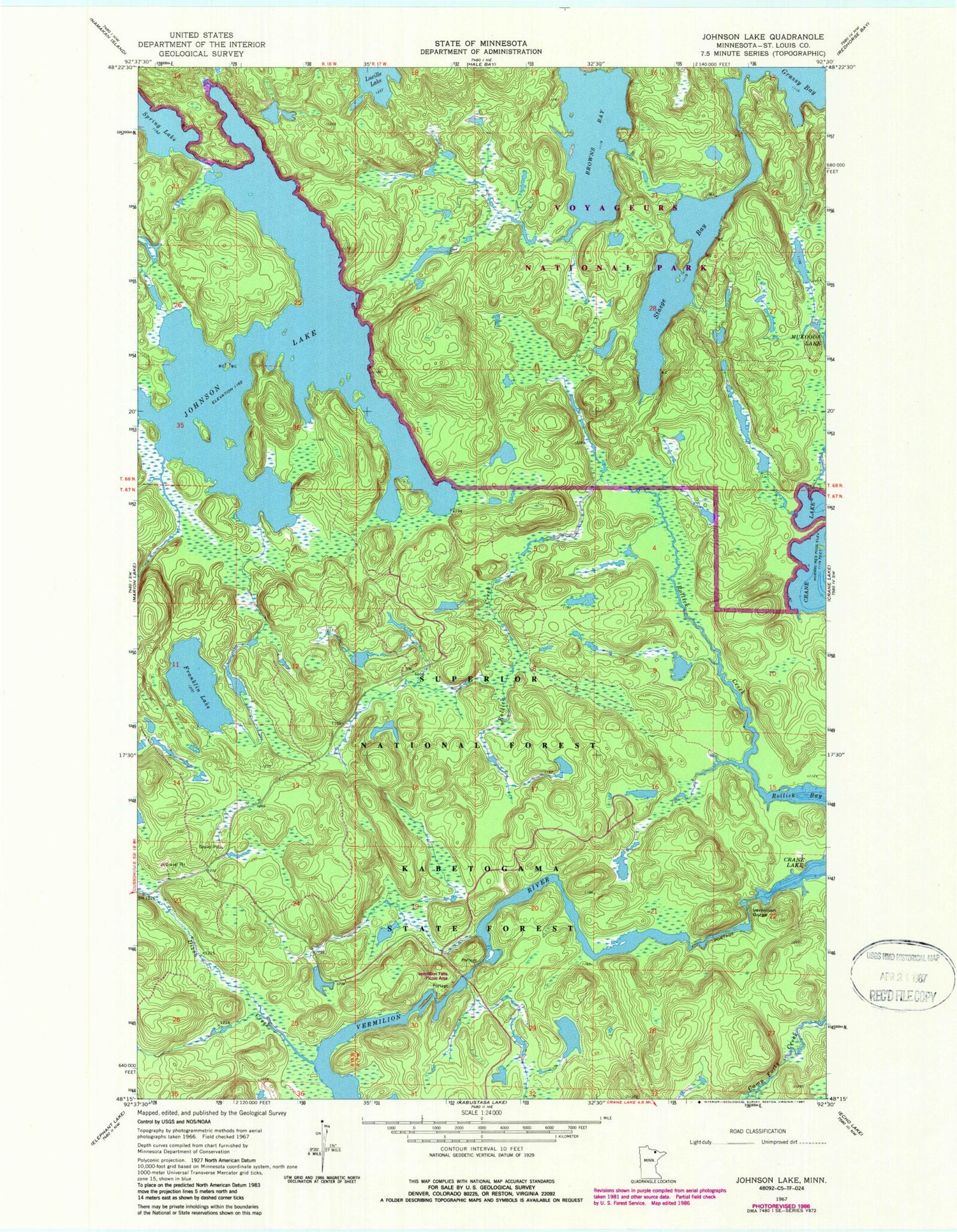
Classic USGS Johnson Lake Minnesota 7.5'x7.5' Topo Map
Regular price
$16.95
Regular price
Sale price
$16.95
Unit price
per
Couldn't load pickup availability
Historical USGS topographic quad map of Johnson Lake in the state of Minnesota. Map scale may vary for some years, but is generally around 1:24,000. Print size is approximately 24" x 27"
This quadrangle is in the following counties: St. Louis.
The map contains contour lines, roads, rivers, towns, and lakes. Printed on high-quality waterproof paper with UV fade-resistant inks, and shipped rolled.
Contains the following named places: Browns Bay, Dixon Creek, Franklin Lake, Johnson Lake, Rollick Creek, Staege Bay, Township of Crane Lake, Vermilion Gorge, Vermilion River, Vermillion Falls Picnic Area