
MyTopo
Classic USGS Johnson Peak Montana 7.5'x7.5' Topo Map
Couldn't load pickup availability
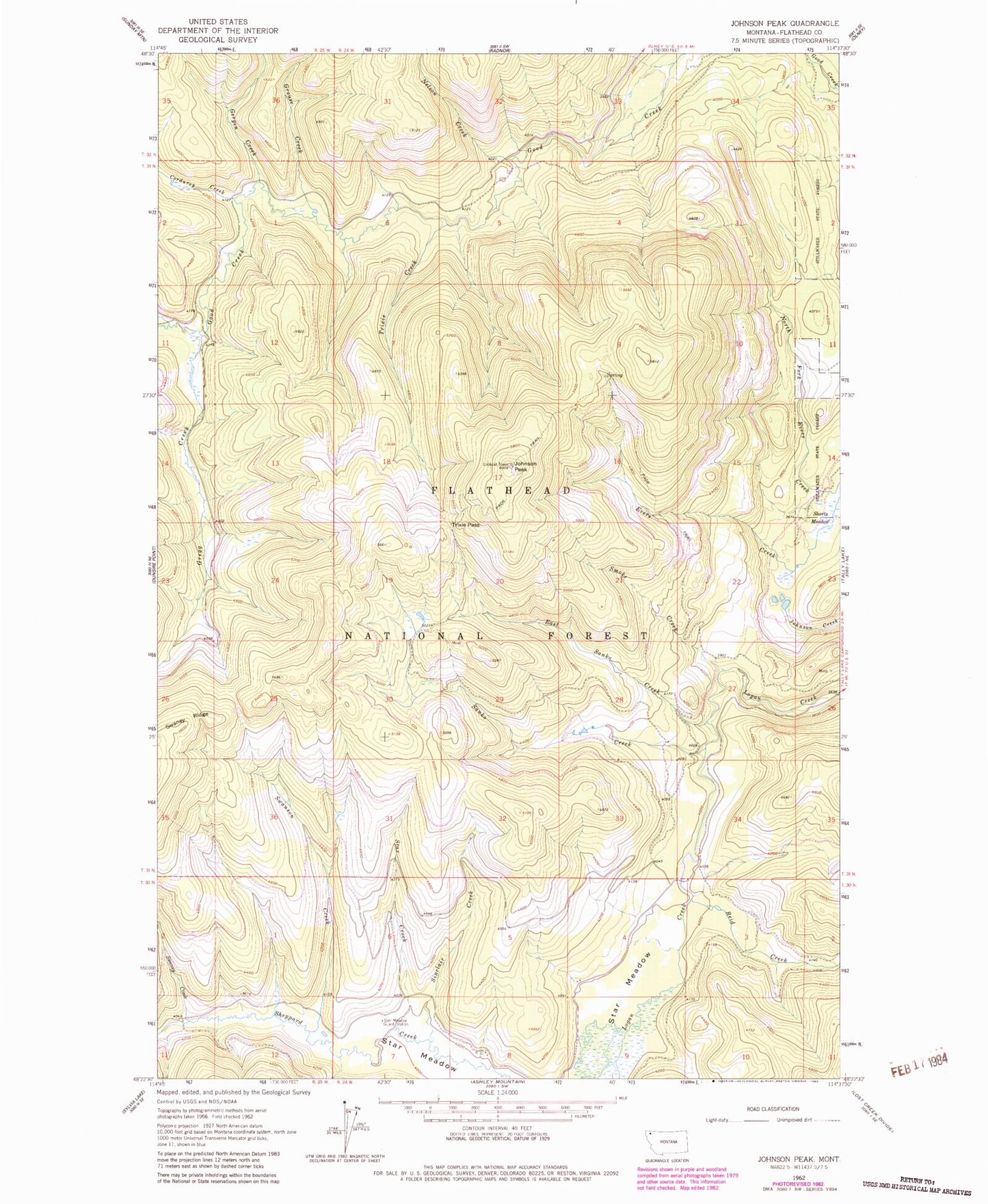
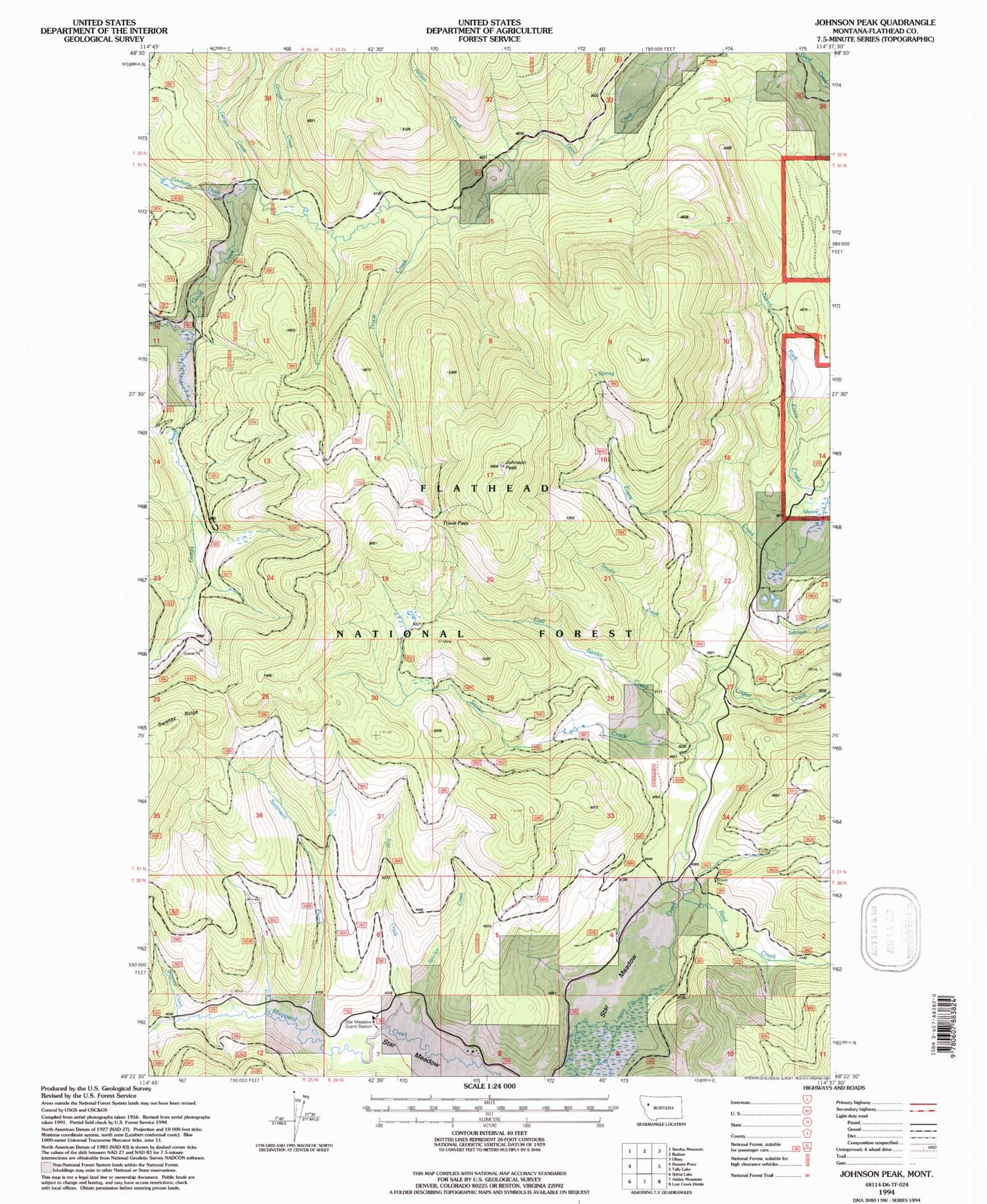
Historical USGS topographic quad map of Johnson Peak in the state of Montana. Map scale may vary for some years, but is generally around 1:24,000. Print size is approximately 24" x 27"
This quadrangle is in the following counties: Flathead.
The map contains contour lines, roads, rivers, towns, and lakes. Printed on high-quality waterproof paper with UV fade-resistant inks, and shipped rolled.
Contains the following named places: Alder Creek, Corduroy Creek, East Sanko Creek, Gergen Creek, Gregg Creek, Grouse Creek, Humdinger Mine, Johnson Peak, Nelson Creek, Reid Creek, Sanko Creek, Shorts Meadow, Sinclair Creek, Smoke Creek, Star Creek, Star Meadow Guard Station, Swaney Creek, Swanson Creek, Trixie Creek, Trixie Pass, Yukon Mine