
MyTopo
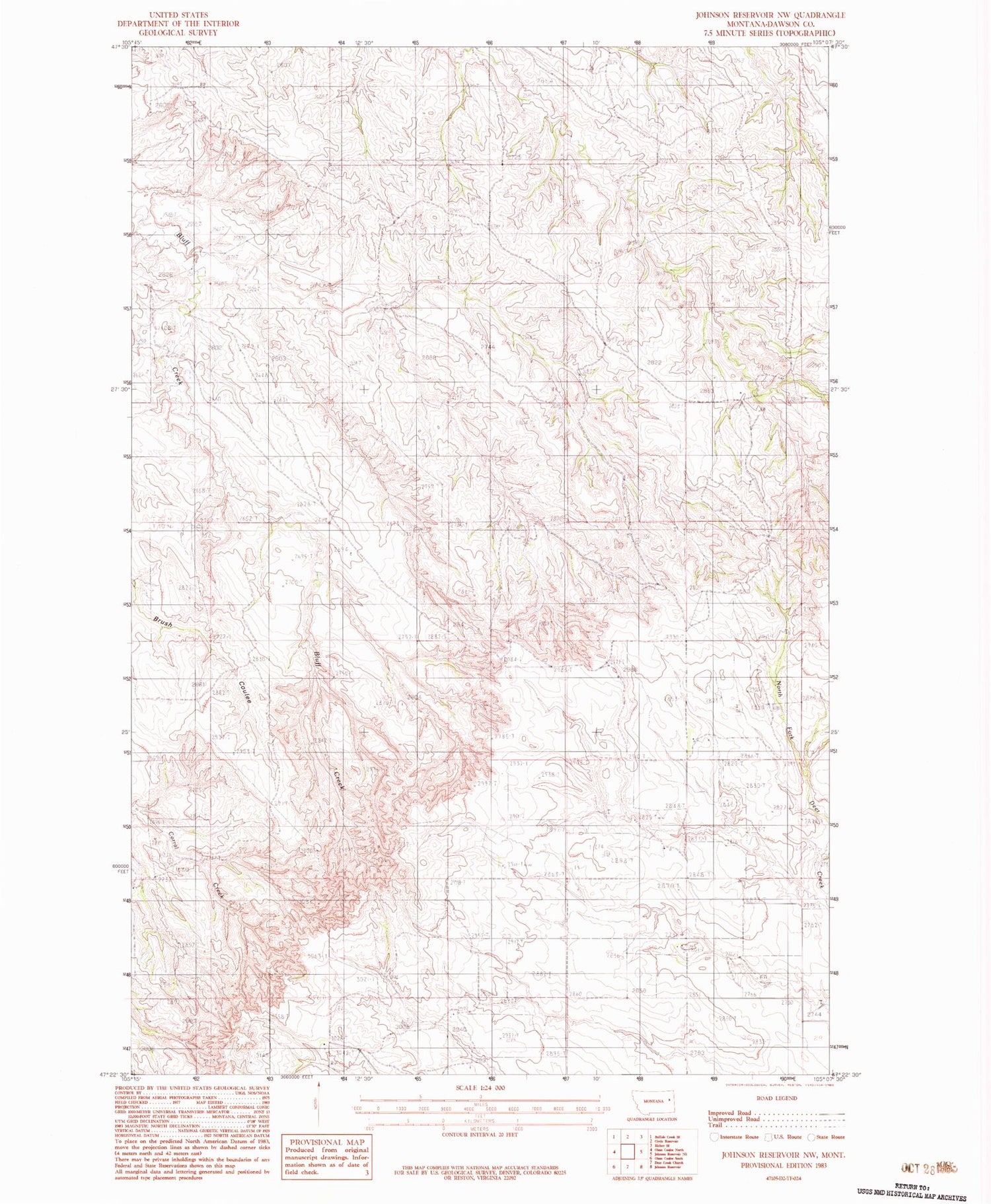
Classic USGS Johnson Reservoir NW Montana 7.5'x7.5' Topo Map
Regular price
$16.95
Regular price
Sale price
$16.95
Unit price
per
Couldn't load pickup availability
Historical USGS topographic quad map of Johnson Reservoir NW in the state of Montana. Map scale may vary for some years, but is generally around 1:24,000. Print size is approximately 24" x 27"
This quadrangle is in the following counties: Dawson.
The map contains contour lines, roads, rivers, towns, and lakes. Printed on high-quality waterproof paper with UV fade-resistant inks, and shipped rolled.
Contains the following named places: 19N51E13DAC_01 Well, 19N52E07AC__01 Well, 20N51E17ADAD01 Well, 20N51E24CD__01 Well, 20N52E17BBBB01 Well, 20N52E26ACB_01 Well, 20N52E30DCC_01 Well, Bluff Creek School, Sullivan Post Office


