MyTopo
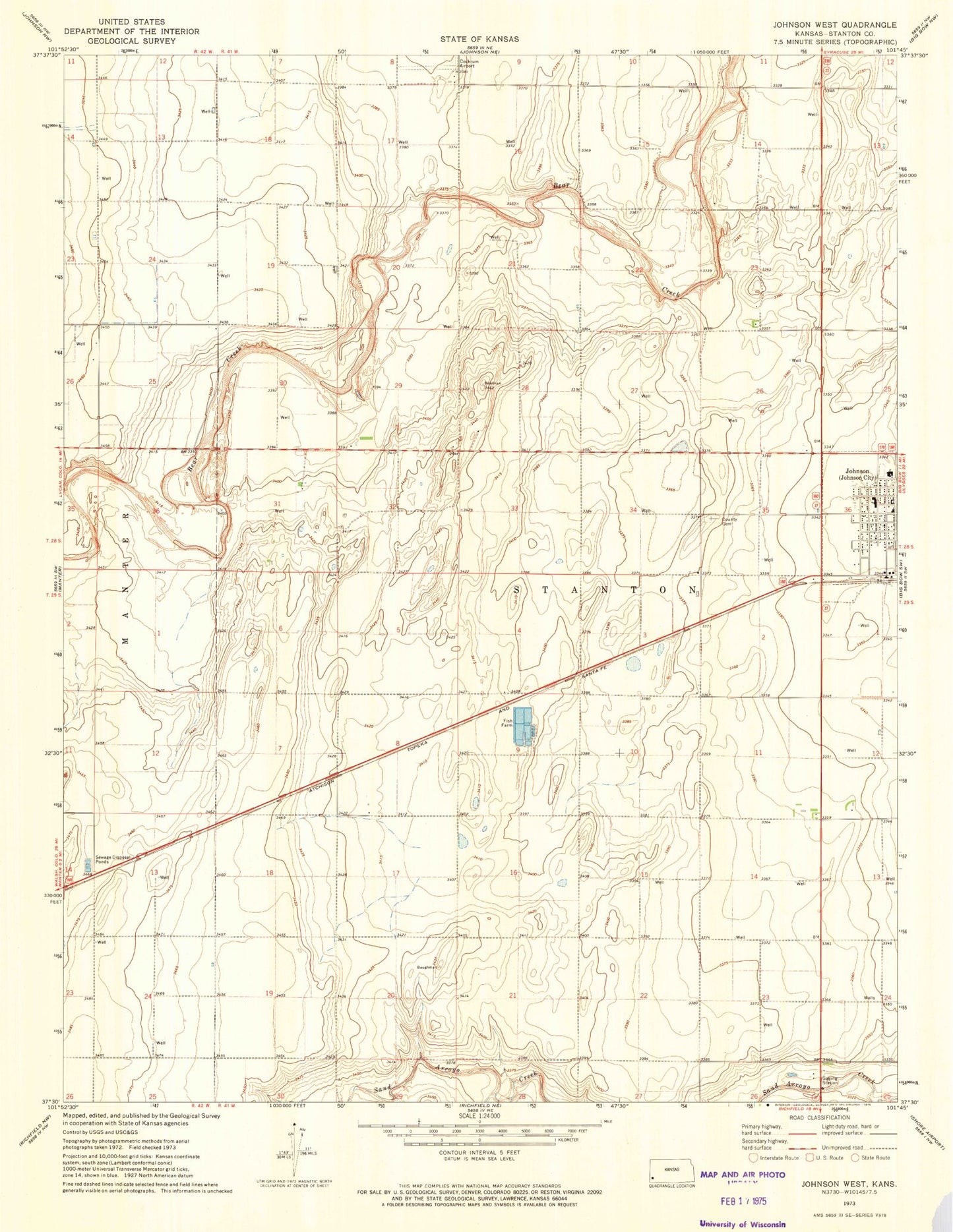
Classic USGS Johnson West Kansas 7.5'x7.5' Topo Map
Couldn't load pickup availability
Historical USGS topographic quad map of Johnson West in the state of Kansas. Map scale may vary for some years, but is generally around 1:24,000. Print size is approximately 24" x 27"
This quadrangle is in the following counties: Stanton.
The map contains contour lines, roads, rivers, towns, and lakes. Printed on high-quality waterproof paper with UV fade-resistant inks, and shipped rolled.
Contains the following named places: Cockrum Airport, Faith Baptist Church, First Baptist Church, First United Methodist Church, Johnson, Johnson City Hall, Johnson City Municipal Power Plant, Johnson Post Office, Manter Wastewater Plant, Stanton County, Stanton County Cemetery, Stanton County Courthouse, Stanton County Elementary School, Stanton County Emergency Medical Services, Stanton County Fire and Rescue Station, Stanton County Health Department, Stanton County Hospital, Stanton County Junior / Senior High School, Stanton County Middle School, Stanton County Road Department, Township of Stanton