MyTopo
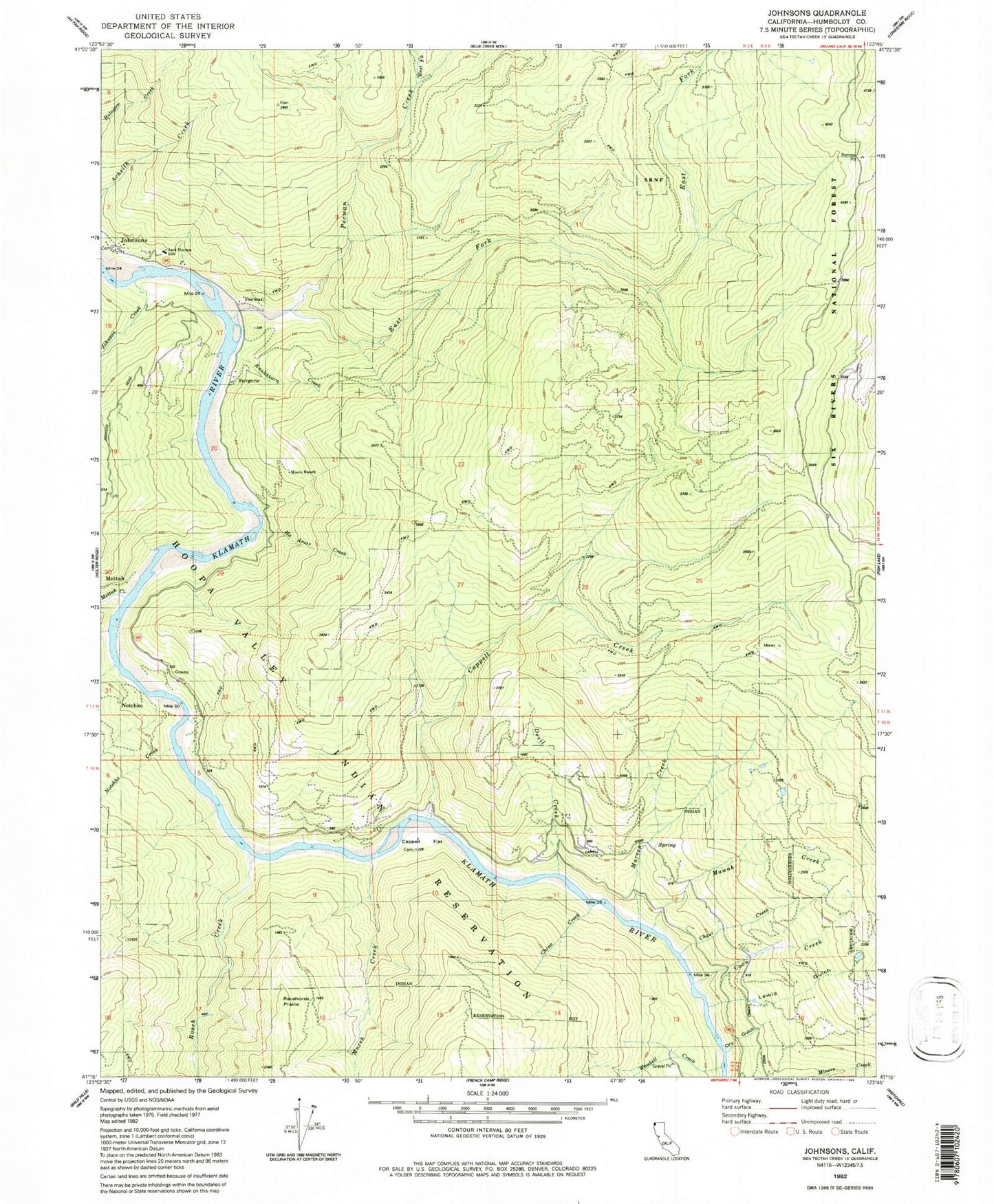
Classic USGS Johnsons California 7.5'x7.5' Topo Map
Couldn't load pickup availability
Historical USGS topographic quad map of Johnsons in the state of California. Map scale may vary for some years, but is generally around 1:24,000. Print size is approximately 24" x 27"
This quadrangle is in the following counties: Humboldt.
The map contains contour lines, roads, rivers, towns, and lakes. Printed on high-quality waterproof paper with UV fade-resistant inks, and shipped rolled.
Contains the following named places: Cappell Creek, Cappell Flat, China Creek, Chqui Creek, Clirliah Creek, Coon Creek, Devil Creek, Dry Gulch, East Fork Pecwan Creek, Ha Amar Creek, Jack Norton Elementary School, Johnson Creek, Johnsons, Kep'el Census Designated Place, Knulthkarn Creek, Lewis Gulch, Mareep Creek, Mawah Creek, Mettah, Mettah Creek, Moore Ranch, Morek Creek, Morek School, Nacko Creek, Notchko, Pecwan, Pecwan Creek, Pecwan District, Pecwan Union School, Pekwan, Racehorse Prairie, Roach Creek, Shregegon, Surgone, Waukell Creek, Wautec Census Designated Place, West Fork Pecwan Creek, Yoruk Volunteer Fire Department Station 2